Storm Brenden
13th January 2020
Gale force winds this morning increasing in strength later. Right now we have relatively sparse snow cover but there is some heavy snow showers forecast throughout the coming period so we can expects a return to proper winter by tomorrow.

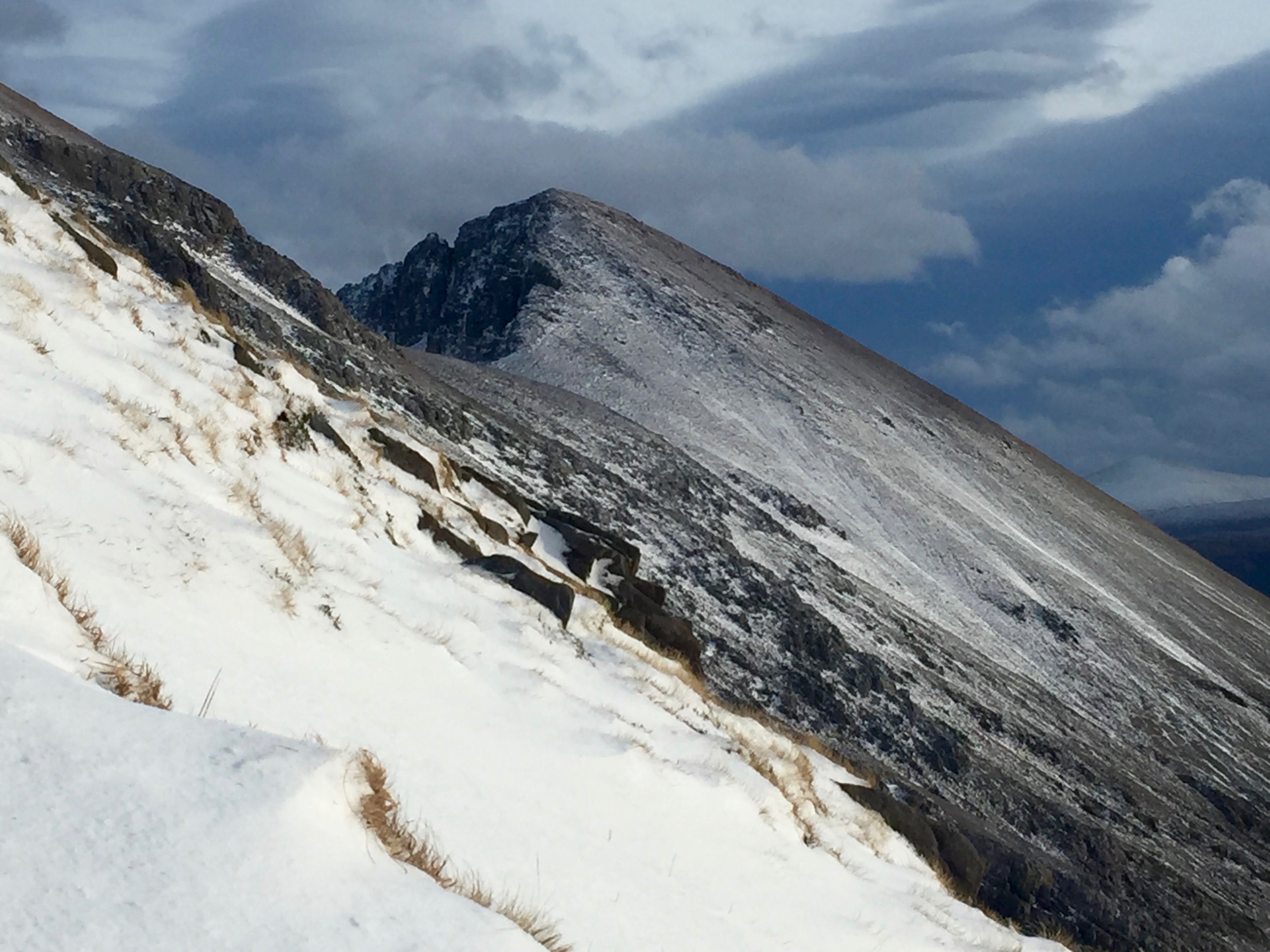
Red sky in the morning ….
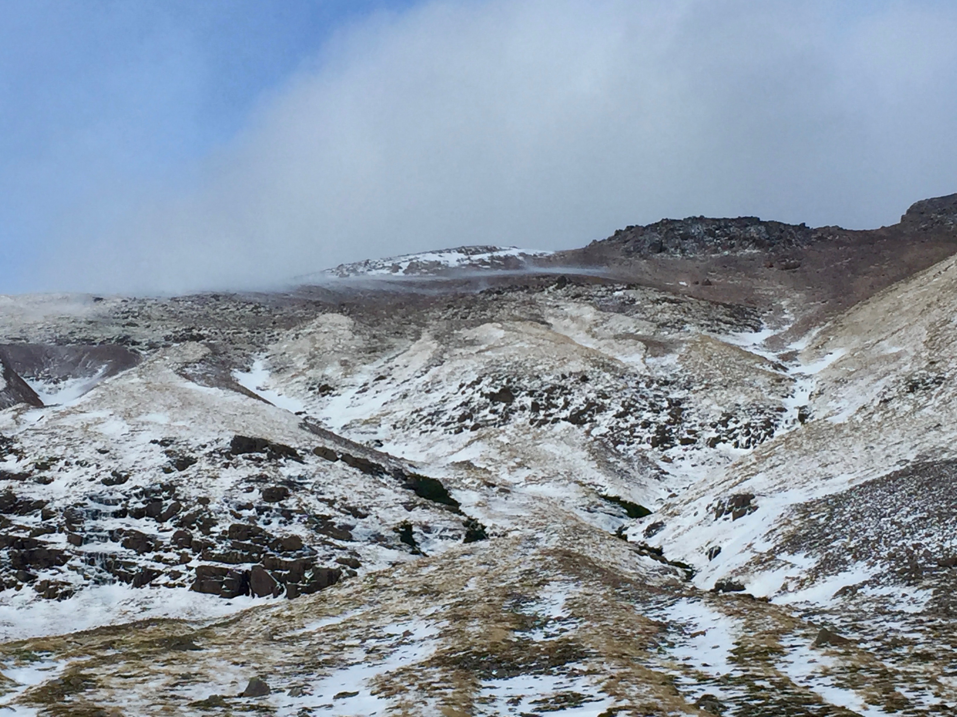
A small cloud of blown snow is visible in this image. This South-Easterly wind exposed aspect is becoming scoured of snow. The cloud of wind blown or drifting snow will probably deposit or settle onto the out of sight Northerly to North-West wind sheltered aspect behind the ridge to form windslab.
Scoured wind exposed aspects with some snow laying in the sheltered foreground from where I took the photo.
Comments on this post
Got something to say? Leave a comment


anon
14th January 2020 8:32 am
Brendan, not Brenden