Wonderful morning, deteriorating later.
16th December 2019
My first day forecasting for this season thanks to my back to back Andy braving the elements over the weekend. I was gifted with a fine dry day but clouds began to come in by late lunch time obscuring some of the summits. We have reasonable snow cover above 400 metres. The lower level paths are generally dry with only occasional icy stretches and higher up I encountered heavy trail breaking. In general it’s pretty good winter cover on the hill for the time of year.
Over the last days there has been some significant snow transportation and the drifting snow has built up pockets or small areas of windslab and some of those (all be it, relatively small areas) are laying on a layer of weaker snow grains such as graupel which often bonds poorly with adjacent layers. We also have a big temperature gradient which can lead to further instabilities forming within the snow pack. For climbers and other mountain users exiting the top of a gully or walking over steeper terrain (for example) should be watching out as these small areas or pockets of windslab can be inadvertently triggered by yourself.
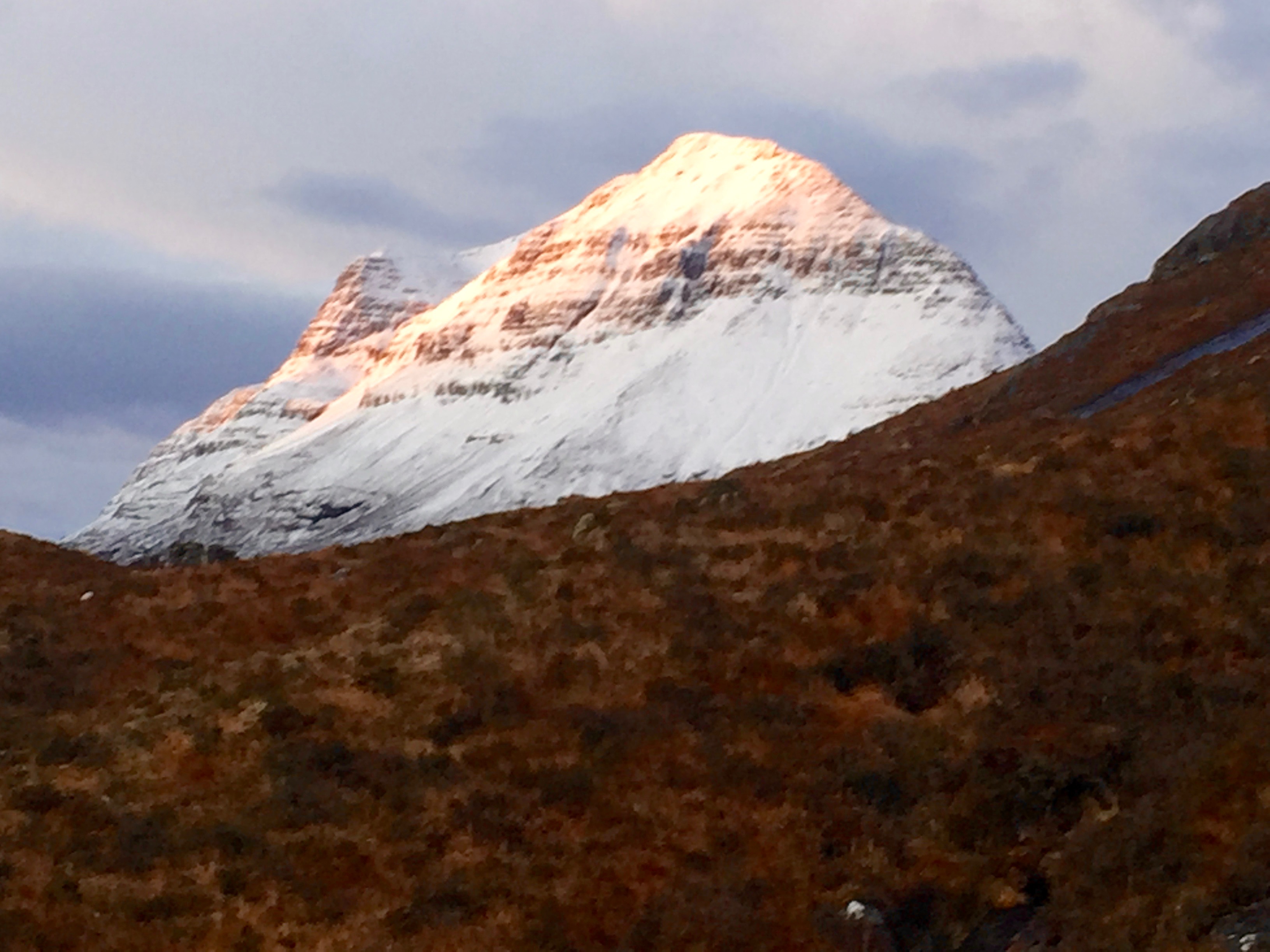
Liathach at 9.00 am today, its clouded over now.
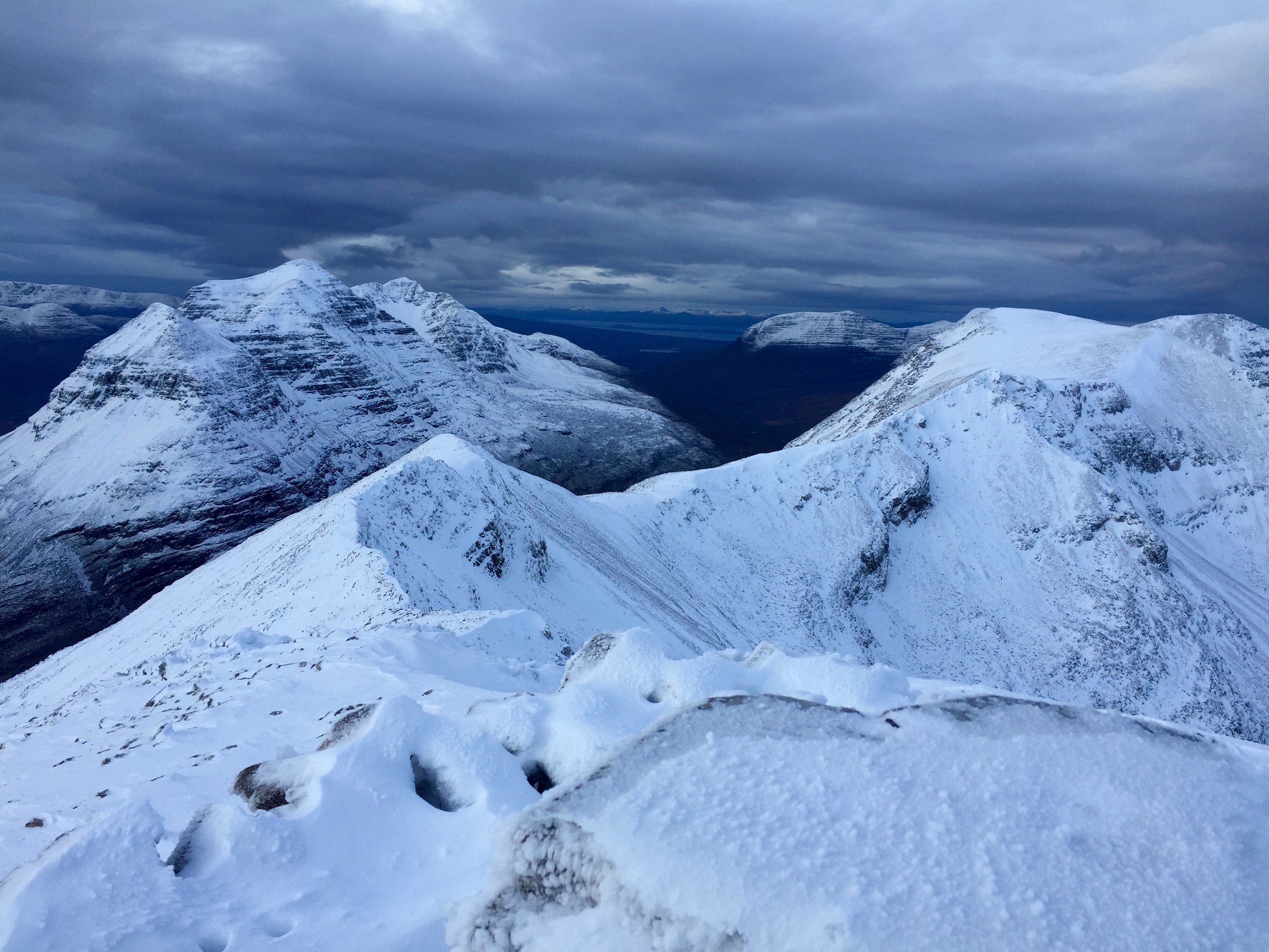
A fine view from Spidean Coire nan Clach
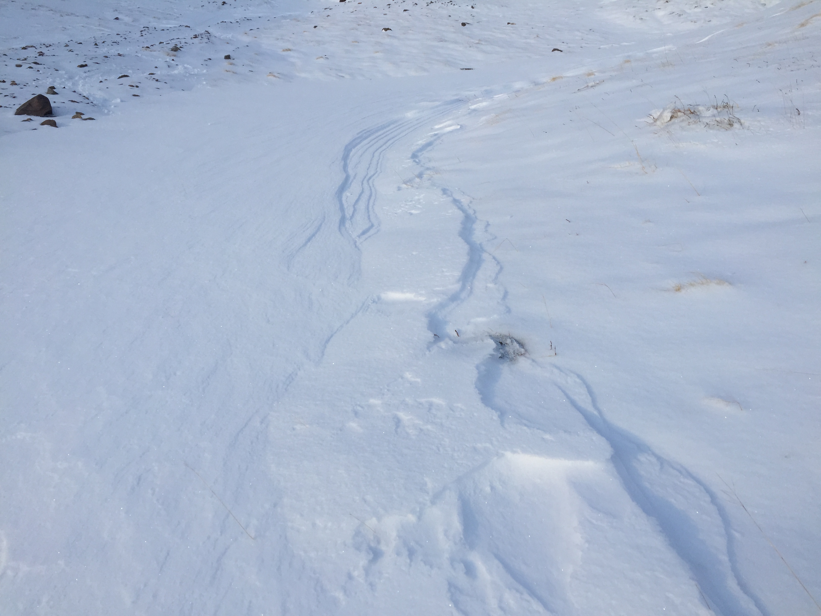
Ripples like the ones in this image are a good indicator that there has been strong winds and its prudent to ask yourself, where has the drifted snow gone to?
Comments on this post
Got something to say? Leave a comment


