An Angry Sky
24th February 2017
The day started well with an overnight ridge of high pressure giving light winds and a watery sun. However, it quickly deteriorated as cloud thickened from the South-West, with light snow by mid afternoon as warm fronts approached. The temperature is due to rise as the freezing level rockets to 1700 metres overnight, with associated heavy rain preceded by snow. The heavy thaw will impact the snowpack (check out the avalanche forecast pages) and rockfall will also be a hazard in the severe gale force winds.
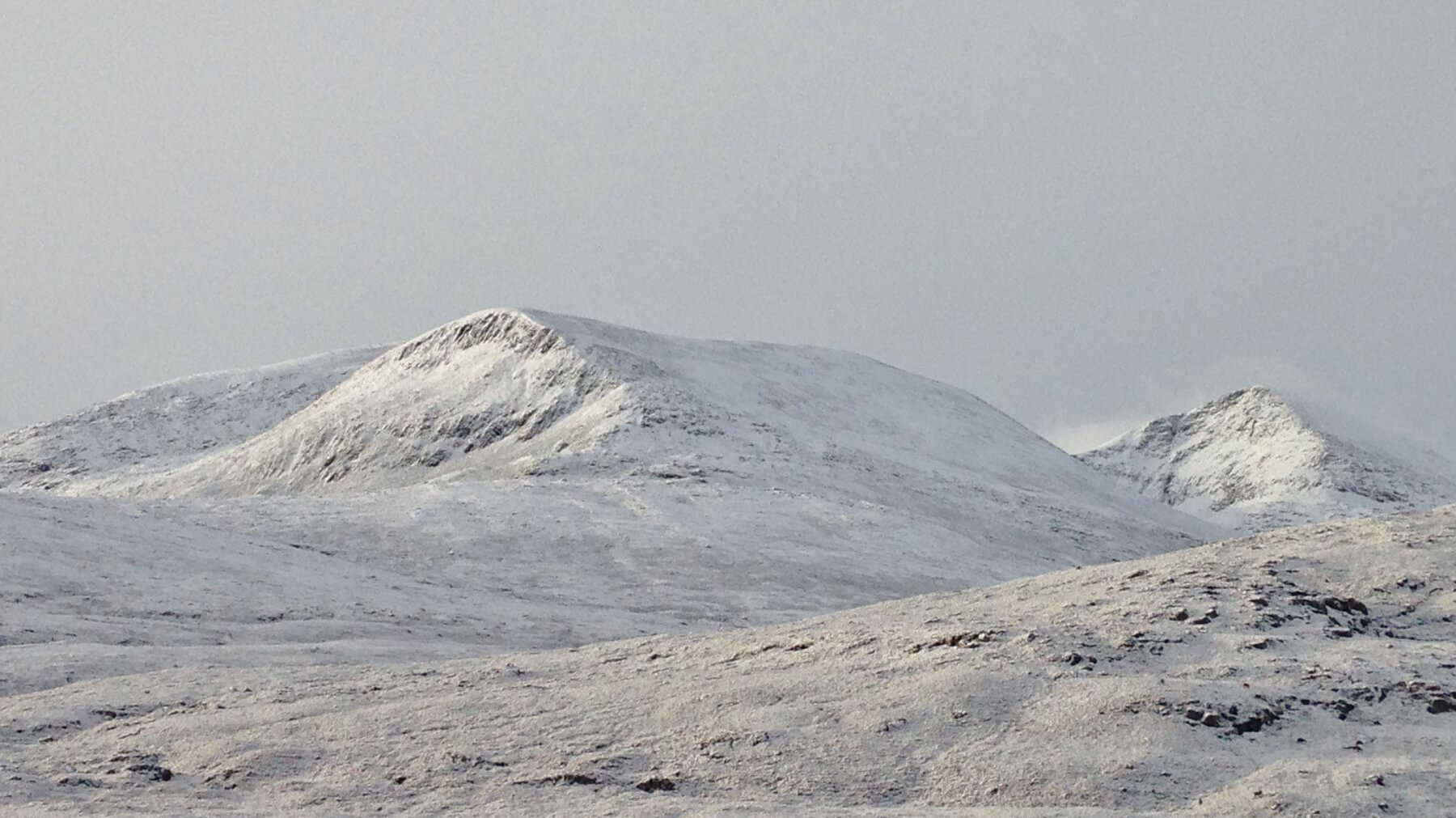 (Above) Although it looks very wintry in the Fannaichs, generally, the snow cover is very shallow and superficial, most of which will disappear in the coming thaw. The ground remains wet and unfrozen.
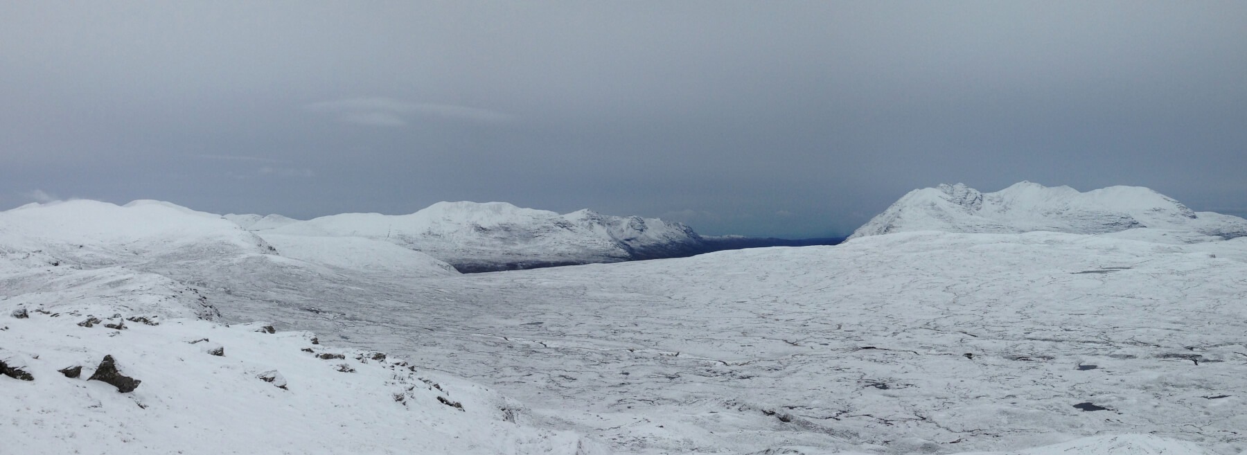 (Above)Â Cloud thickening up from the South-West – an angry looking sky! The Great Wilderness mountains with An Teallach on the right. High lenticular cloud (wave clouds) forming above Beinn a’Chlaidheimh signifying a strengthening wind.
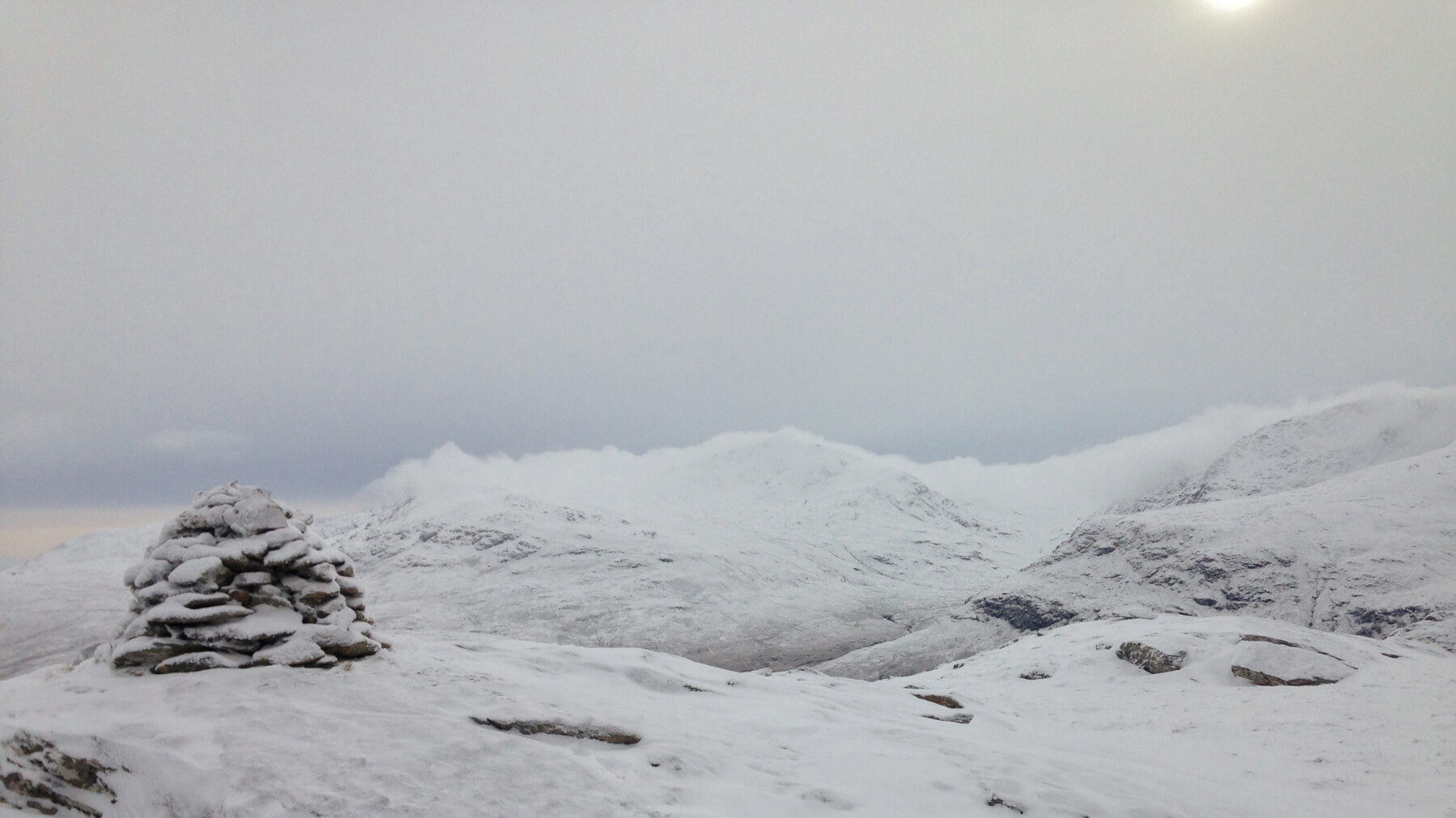 (Above)Â By the time I departed the summit of Meall an-t-Sithe, lower cloud descended on the higher Fannaichs and there was a feeling that snow was ‘in the air’. I was right!
Comments on this post
Got something to say? Leave a comment


