Mild and Drizzly!
26th March 2019
With high pressure centred to the south, a mild and damp SW airstream will persist over northern Scotland for the next few days, with the north-west affected by drizzly precipitation and cloudy summits, particularly on the more coastal mountains. And today was no exception! The snowpack is becoming broken and thawing at all levels, although remaining firmer on the tops.

A thawing snowpack scene with bare summits on Beinn Liath Mhor Fannaich and Sgurr Mor. Lowest snow patch around 600m.
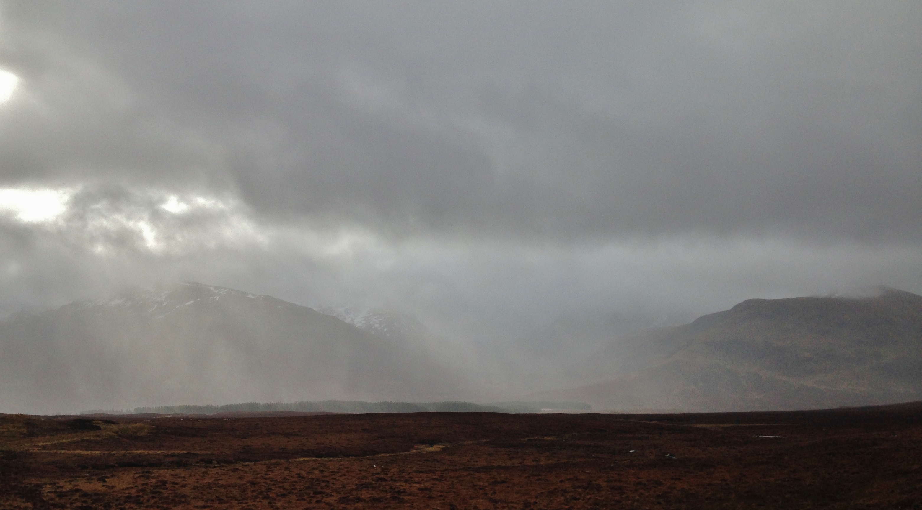
Drizzly showers over the Fannaichs.

Some brightness in the morning over the more inland mountains. Persistent light rain and drizzle at all elevations persisted over the coastal hills.

Patchy snow and hill fog at 700m. Most snow remains on North through East, to South-East aspects.
Comments on this post
Got something to say? Leave a comment


