Rain, sleet and snow transportation.
4th February 2019
A day of poor visibility on the tops although it brightened up a bit later in the afternoon. There is plenty snow on the hill but it was thawing at lower levels this morning below 450 metres. Above this altitude it is hard going on foot, often up to the knees and there were not many tracks to follow. The freezing level is hovering around 750 meters tonight with the freezing level rising tomorrow by lunch time. Overnight we can expect some consolidation in the snow pack but as one walks along up to the knees in soft snow one realises that the strengthening winds will probably be blowing the dryer snow around in the morning, but then the freezing level will rise, by lunch time the snow will soften and well…. wet snow may not blow around as much  as dry snow but you’d be a brave person (or maybe just plain silly) to think that there may be no snow transportation at all. Redistribution of snow by the wind is a major feature of mountain snow packs. The term “blowing snow” describes particles raised to a height of 2 metres or more. Blowing snow often obscures visibility. Drifting snow (about 90% of transported snow) is used to describe near-surface transport. The critical wind speed (threshold wind speed) at which snow is picked up from the surface by turbulent eddies of wind is a complicated function of the physical conditions of the surface of the snow. For loose snow the typical threshold wind speed (at 10-m height) is 5 m/s. For a dense bonded snow cover, winds greater than 25 m/s are necessary to produce blowing snow. It’s tricky stuff!
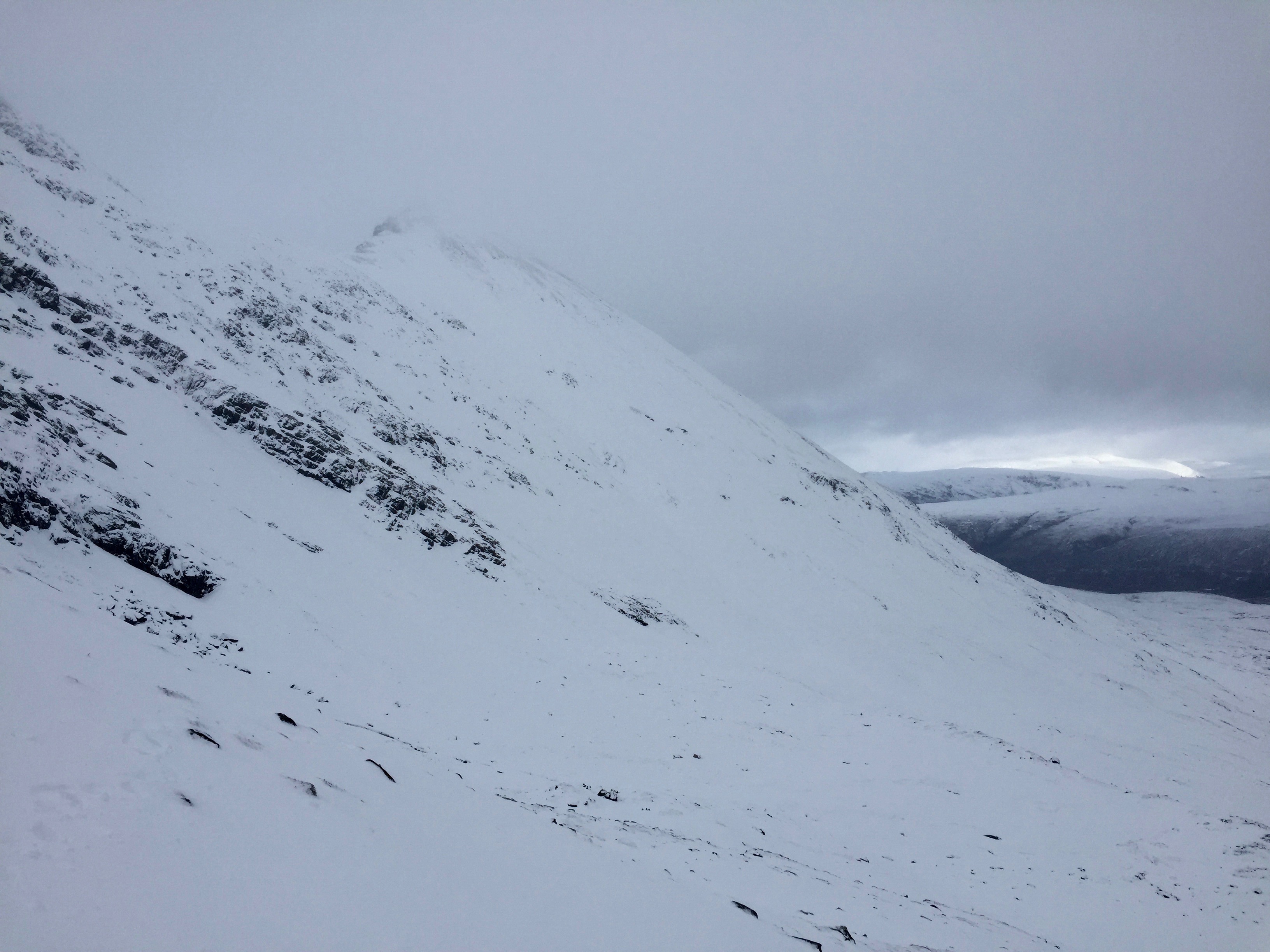
Some surface sloughs this morning.
Occasional brightening.

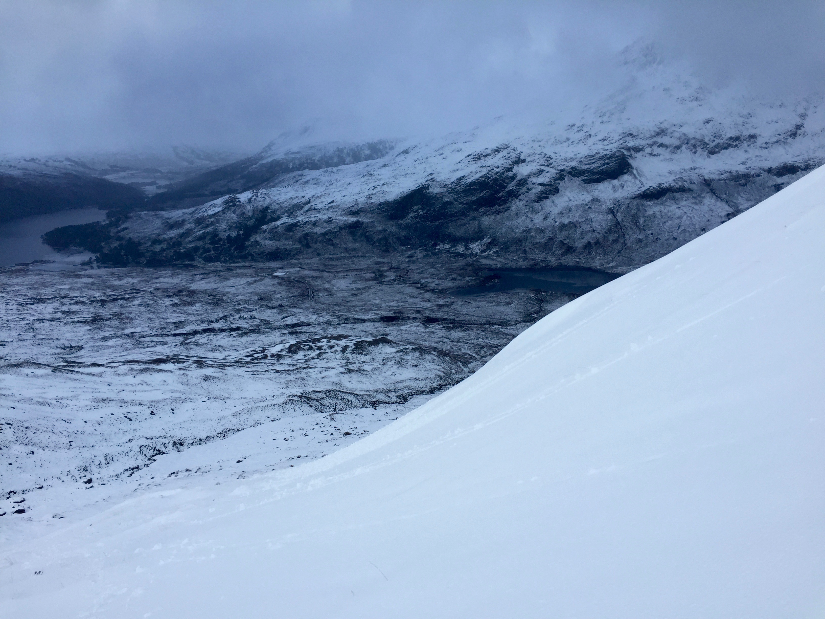
View over towards Sugar Dubh from Stuc Coire an Laoigh- (Beinn Eighe)
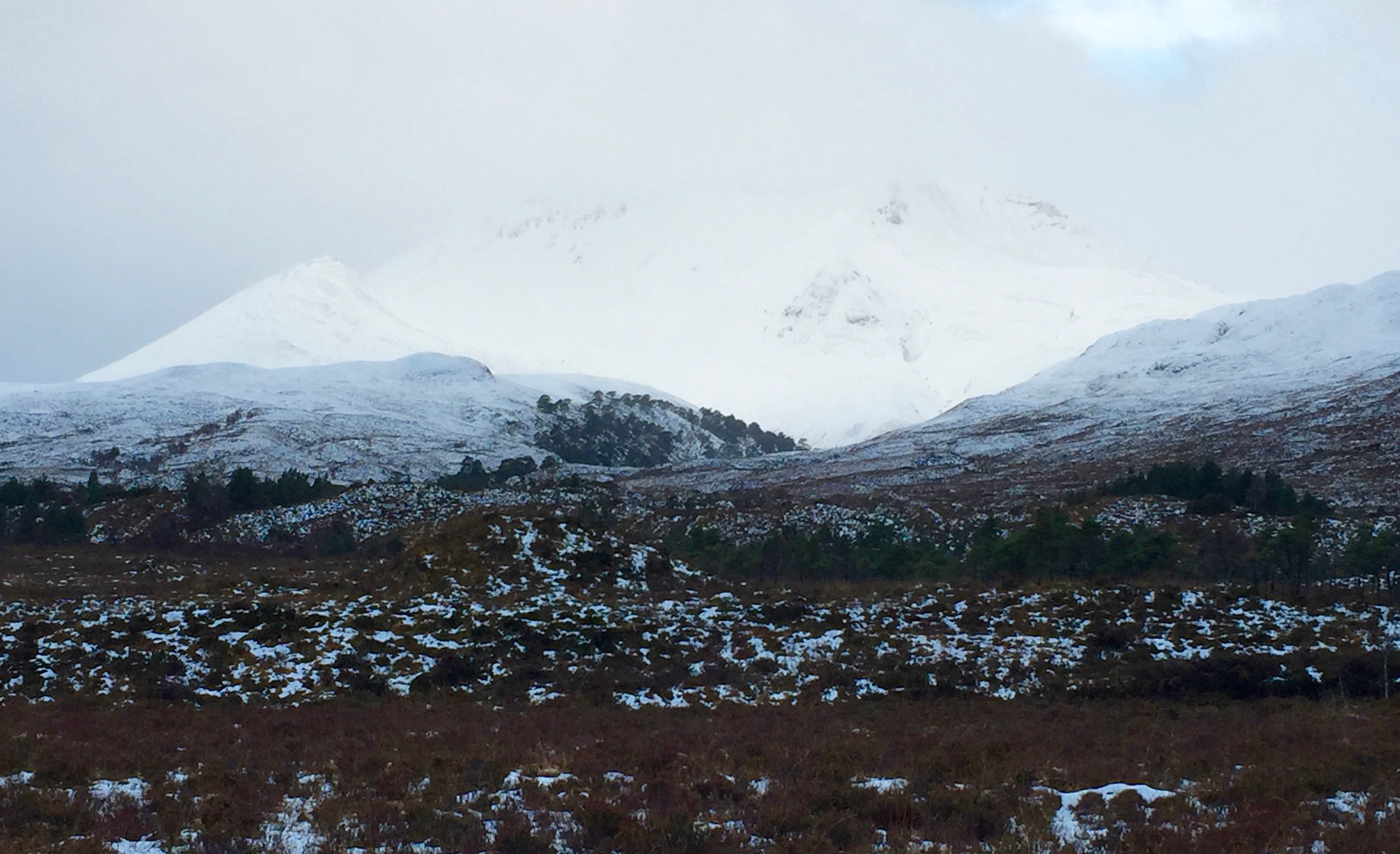
Road side view first thing this morning of Sgurr nan Fhir Duibe and Creag Dhubh
Comments on this post
Got something to say? Leave a comment


