The Continuing Thaw
13th March 2017
The snowpack is thawing at an alarming rate, becoming very mottled with many hillsides, summits and summit ridges bare. The ‘snowline’ is generally above 650 metres, with the most extensive areas of snow above 800 metres, mainly on North to East aspects. The more coastal mountains have less snow. The thaw will slow tomorrow with a brief return to colder conditions and some fresh snow above 750 metres.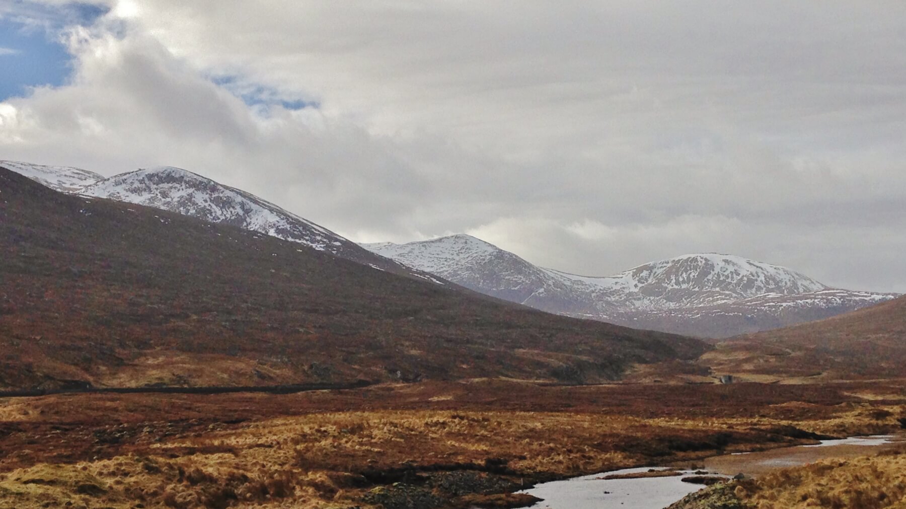 (Above)Â The snowy aspects of the Fannaich mountains, L to R; Beinn Liath Mhor Fannaich, Carn na Criche and Meall a’ Chrasgaidh.
(Above) The snowy aspects of the Fannaich mountains, L to R; Beinn Liath Mhor Fannaich, Carn na Criche and Meall a’ Chrasgaidh.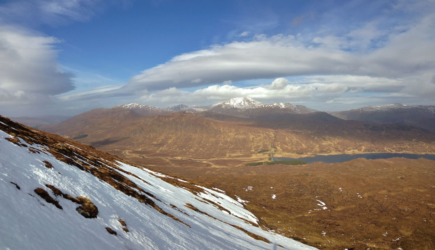 The not so snowy southerly aspects of the Beinn Dearg mountains, although Beinn Dearg itself, at 1084m. has a good cover on it’s summit slopes. There are some interesting wave clouds forming, usually indicates a strengthening of the upper winds.
Comments on this post
Got something to say? Leave a comment


