Dreich!
26th February 2017
It took a large dose of self discipline to head up the mountain today in heavy rain! However, we were banking on it brightening up by mid morning – and thankfully it did. And we were off the hill before the next band of rain arrived in the afternoon – so called ‘Storm Ewan’! There was less fresh overnight snow than expected, which thawed considerably today as the freezing level rose to 900 metres. More snow expected this evening and tomorrow morning.
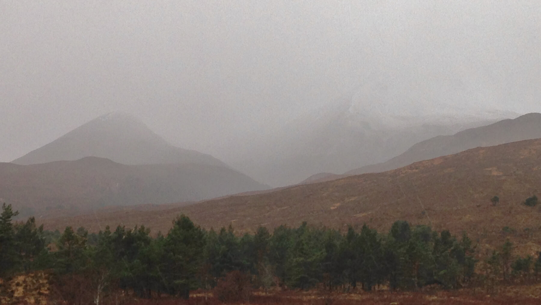 (Above)Â The depressing site of heavy rain on Beinn Eighe this morning
(Above) The depressing site of heavy rain on Beinn Eighe this morning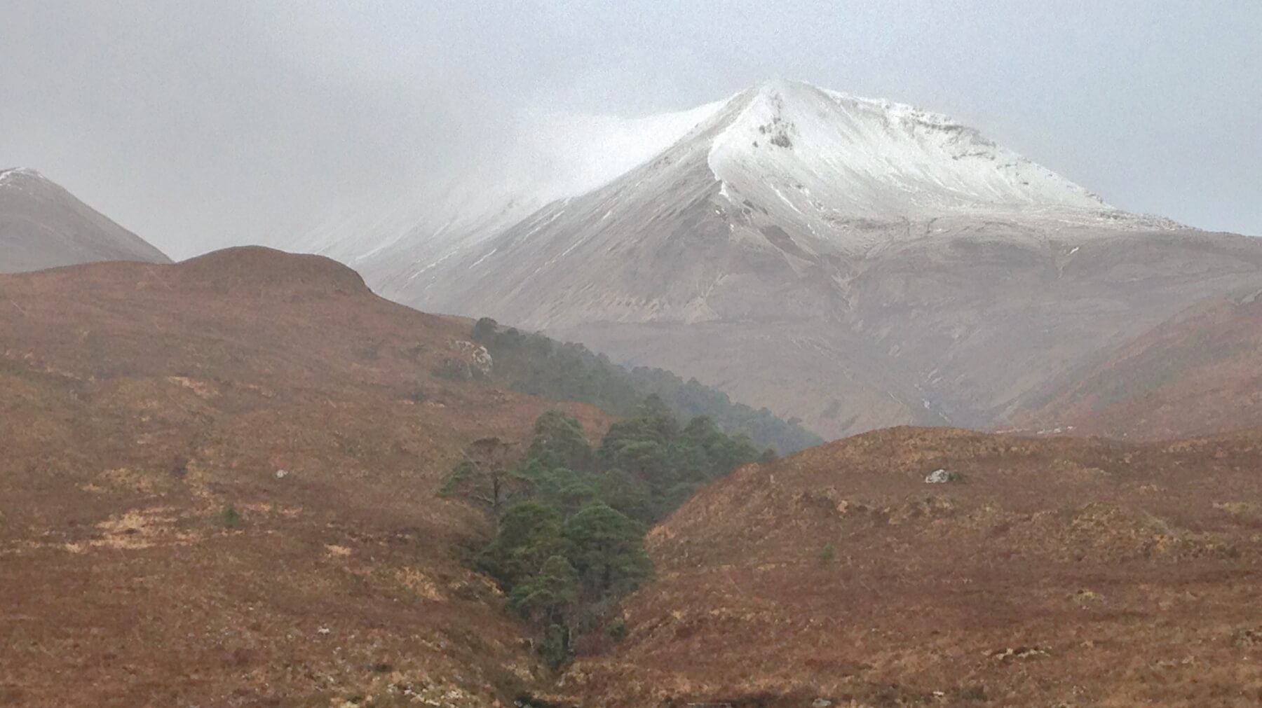 (Above) As the rain eased on Creag Dhubh, it became clear that there was less fresh snow than expected and that the snowline was around 600 metres, and rising as it warmed up.
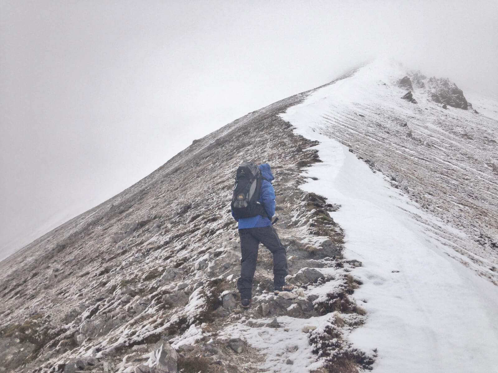 (Above) On the east ridge of Creag Dhubh, Beinn Eighe. Most existing snow on North to East aspects above 700 metres. Here the snow is lying on the ridge flank on a NNE aspect. The dusting of fresh snow is thawing.
Comments on this post
Got something to say? Leave a comment


Sam
26th February 2017 2:04 pm
Is there any chance we could see what triple buttress looks like before this weekend? Your blogs are a fantastic resource on conditions, just a shame the season is being so terrible.
Thanks, keep up the great work!
torridonadmin
6th March 2017 4:00 pm
No chance Sam! Not only because it’s Monday, but unless we get a drone…… Thanks for your comments.
Simon Stevens
26th February 2017 5:34 pm
Thanks for the photos. The combination of SAIS and MWIS is magic. To have such a system, we don’t know how lucky we are!
torridonadmin
6th March 2017 4:01 pm
Thanks Simon.