Windy (again)
12th February 2025
The hills in the Western part of the Torridon forecasting area were mostly clear today and sometimes in the sun. However, the photos below don’t show how cold it felt. It was bitterly cold, with gale force Easterly winds on the summits making it feel like -15 degrees Celsius. The winds are forecast to decrease overnight to moderate strength, which should make progress at summit level easier going, but the windchill will still be significant.
It was much greyer looking East. Although the Fannich summits were mostly beneath the cloud base, they were rarely in the sun.
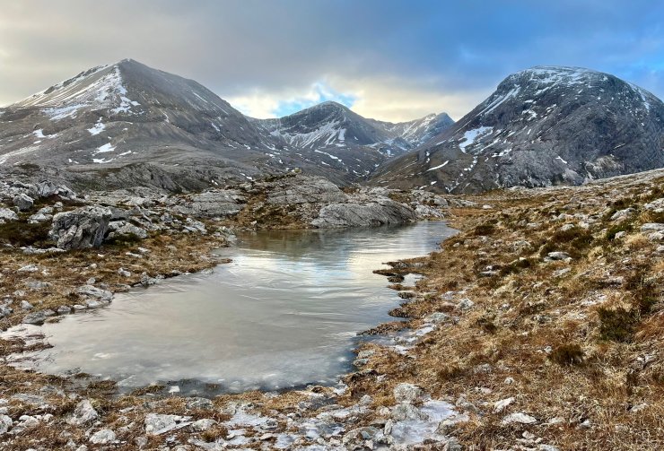
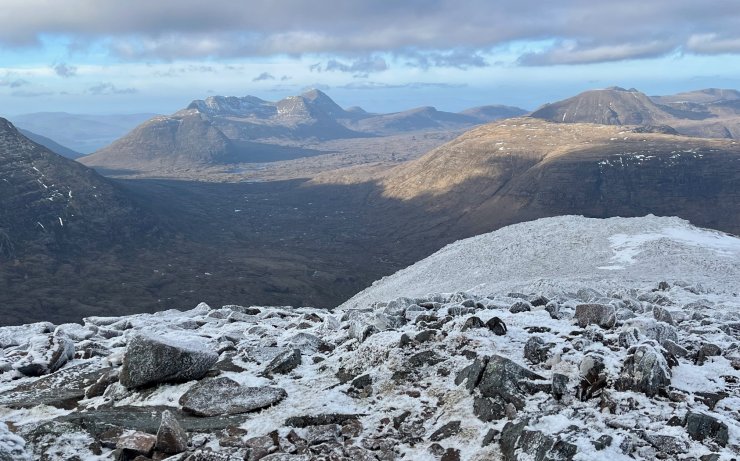
Looking into the North facing coires at the Eastern end of Beinn Eighe. Creag Dhubh (907m) is on the left, Sgurr Ban (970m) in the middle and Ruadh-stac Beag (896m) on the right. This wee lochan at around 500m is frozen.
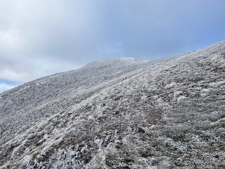
Looks like a light dusting of new snow above 750m?
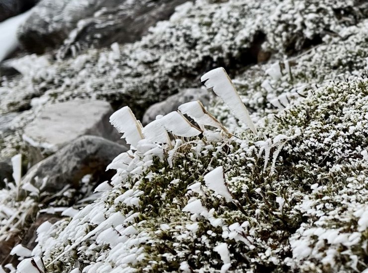
No. Closer inspection revealed not snow, but lots of rime ice on the rocks and heather, with the blades pointing into the bitter Easterly winds.
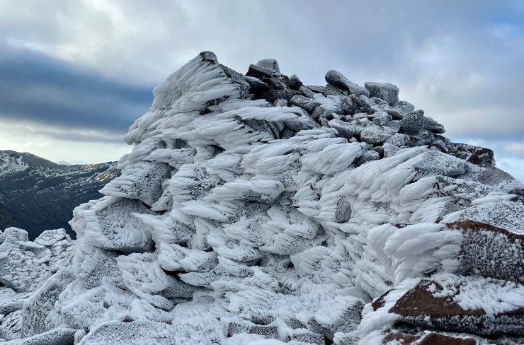
Significant rime ice on the summit cairn. Some of these had grown to around 20cm long.
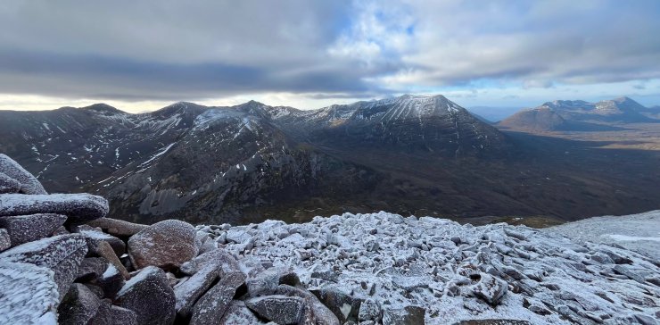
No rime ice on the summits looking West to Beinn Alligin.
The Western summits of Beinn Eighe with Ruadh-stac Mór just right of centre.
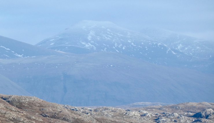
Sgùrr nan Clach Geala (1093m) in the Fannichs which just misses out on being the highest summit in the Torridon forecasting area by 7m to Sgùrr Mòr (1110m), situated to the right.
Comments on this post
Got something to say? Leave a comment