Blustery Snow Showers
9th April 2022
A day of sunshine and snow showers, some heavy and prolonged. Localised unstable windslab continues to build in wind sheltered locations, East through South to South West aspects, mostly above 700m. It was bitterly cold at height, especially as the wind picked up ahead of the snow showers.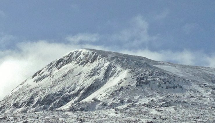 (Above) The NE face of the North Top of Beinn Liath Mhor Fannaich – the location of today’s snow profile.
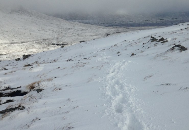 (Above) There were deep drifts in places and also scoured terrain on windward aspects.
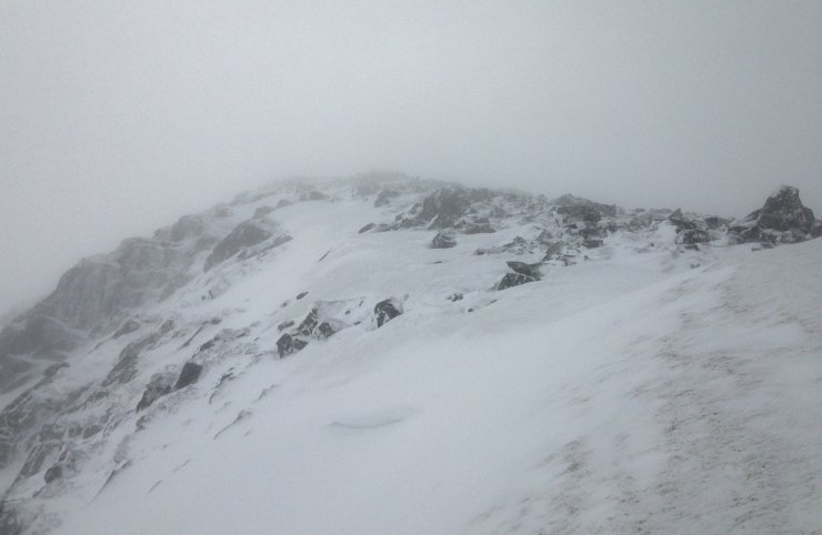 (Above) Isolated pockets of windslab accumulating on this sheltered East aspect along the coire rim. Small cornices were in evidence, developing above similar aspect.
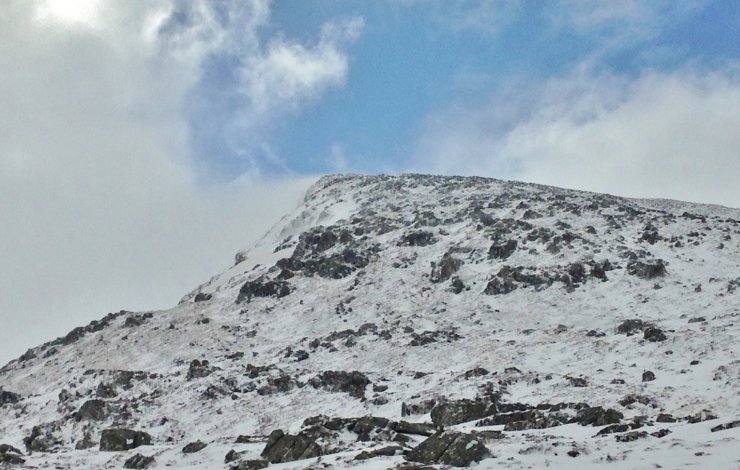 (Above) Spindrift blowing off the summit of the North Top of BLMF.
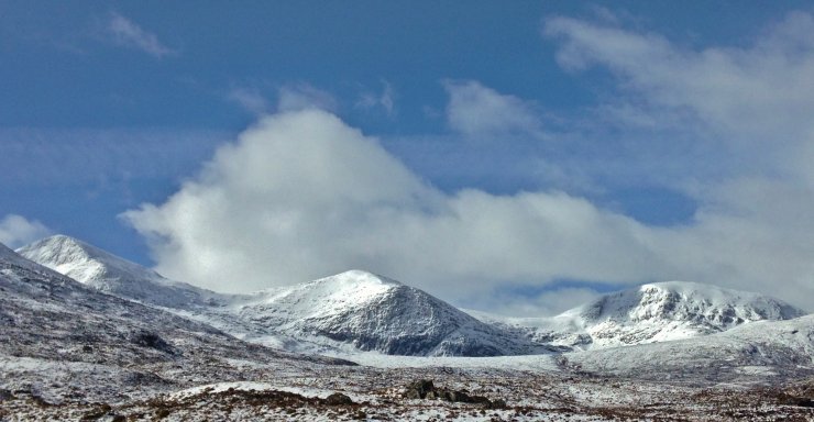 (Above) Of course it cleared between showers on the walk out…! The NE and E aspects of Sgurr Mor (left), Carn na Criche, and Meall a’ Chrasgaidh (right).
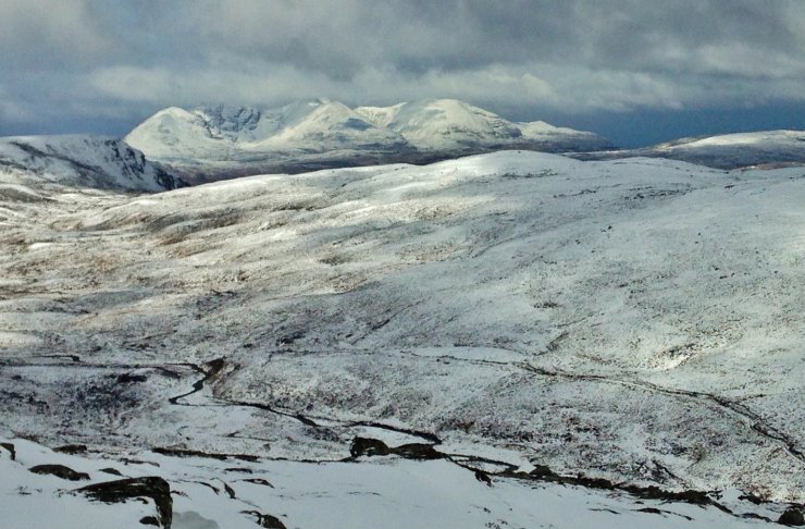 (Above) A wintery An Teallach in the distance.
Comments on this post
Got something to say? Leave a comment


