Diminishing Snow Cover
8th May 2021
Covid -19
The Scottish Avalanche Information Service issues information to support permitted activity under current Scottish Government guidance.
Please be aware of current travel guidelines within Scotland and respect local communities by referring to Scottish Government guidance and safe route choices for exercise. For further guidance please refer to the following information for hillwalkers and climbers and snowsports on ski and board.
This blog is intended to provide hazard and mountain condition information to help plan safer mountain trips.
Due to the recent unseasonal cold and snowy conditions, we are providing avalanche forecasts and blogs for this weekend (8th and 9th May) only, as significantly milder weather is expected next week. However, we will continue to monitor the situation.
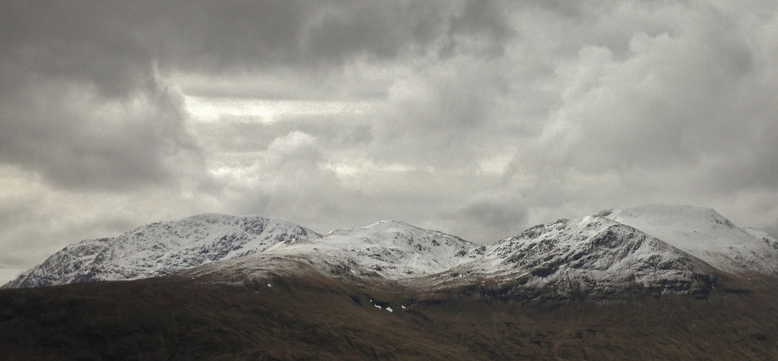
Today, a dry morning but thickening cloud cover heralded the arrival of light rain with summit snow in the afternoon. A strong Easterly airflow was the prime concern today which presented challenging walking at times! The current snow cover remains generally shallow and is thawing and diminishing at locations below summit levels as the milder conditions take hold. (Above) A panoramic view of Sgurr Breac on the left, Toman Coinnich centre and A’ Chailleach on the right. Shallow snow cover with greatest accumulations on East to South-West aspects above 850m. The snowline in the photo is around 650m.
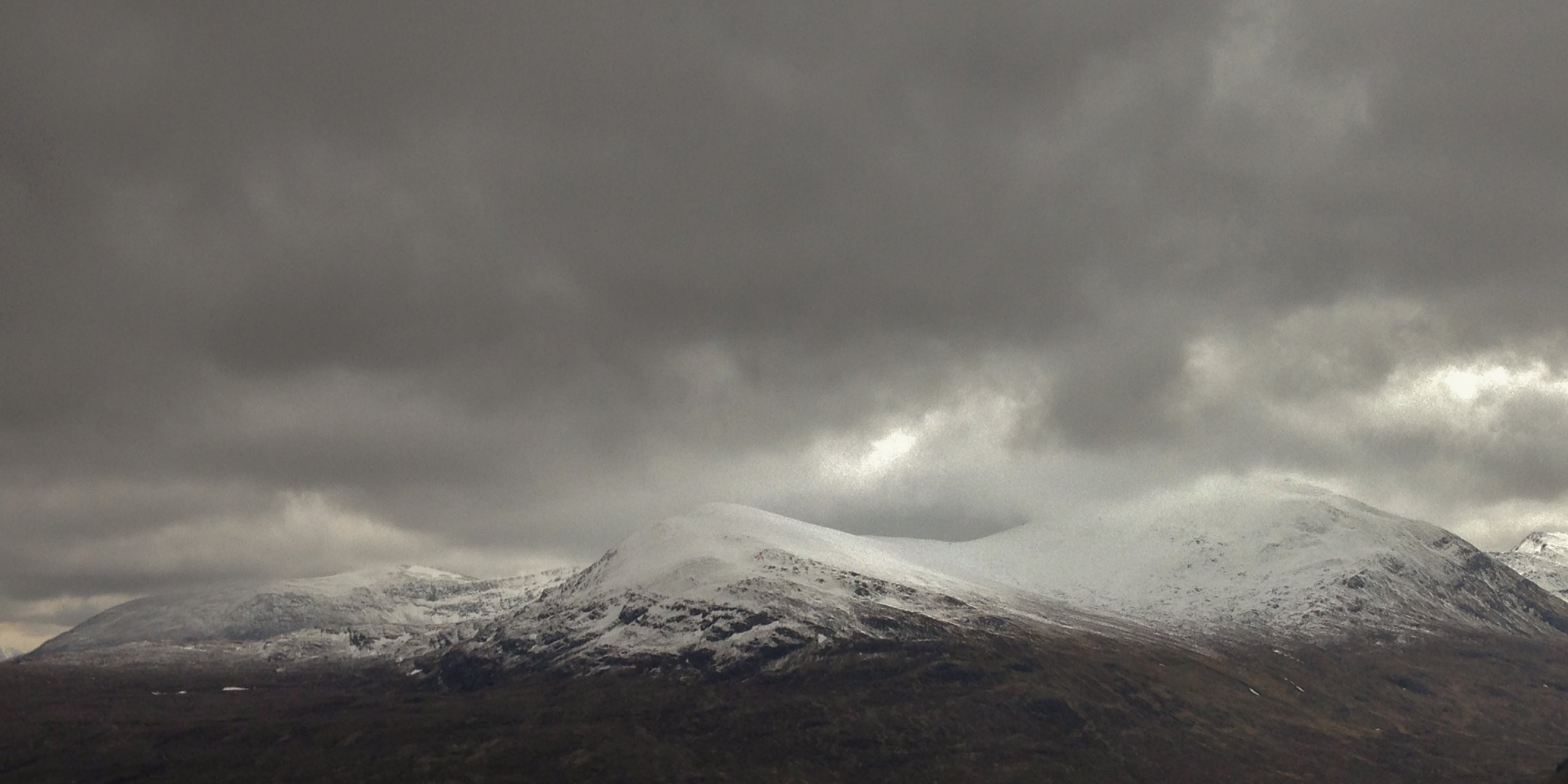
 (Above) Similar conditions on Beinn Liath Mhor Fannaich on the left, Meall a’ Chrasgaidh centre and Sgurr nan Clach Geala on the right. Summit cloud moving in on a strong Easterly wind.
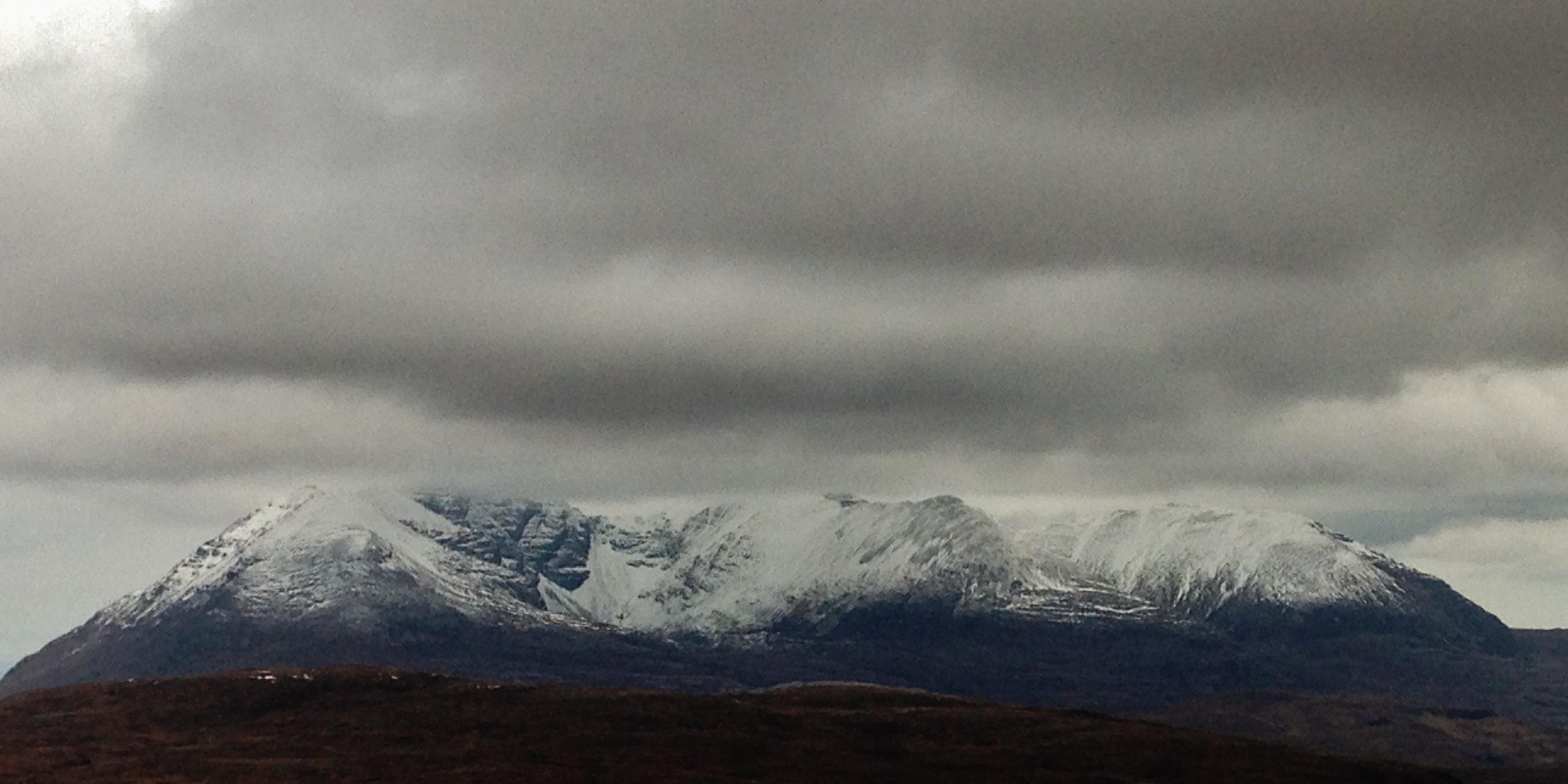
 (Above) Looking into the Eastern coires of An Teallach.
Comments on this post
Got something to say? Leave a comment


