Intense Wintry Showers
9th April 2021
Covid -19
The Scottish Avalanche Information Service issues information to support permitted activity under current Scottish Government guidance.
Please be aware of current mandatory travel restrictions in Local Authority areas within Scotland and respect local communities by referring to Scottish Government guidance and safe route choices for exercise. For further guidance please refer to the following information for hillwalkers and climbers and snowsports on ski and board.
This blog is intended to provide hazard and mountain condition information to help plan safer mountain trips.
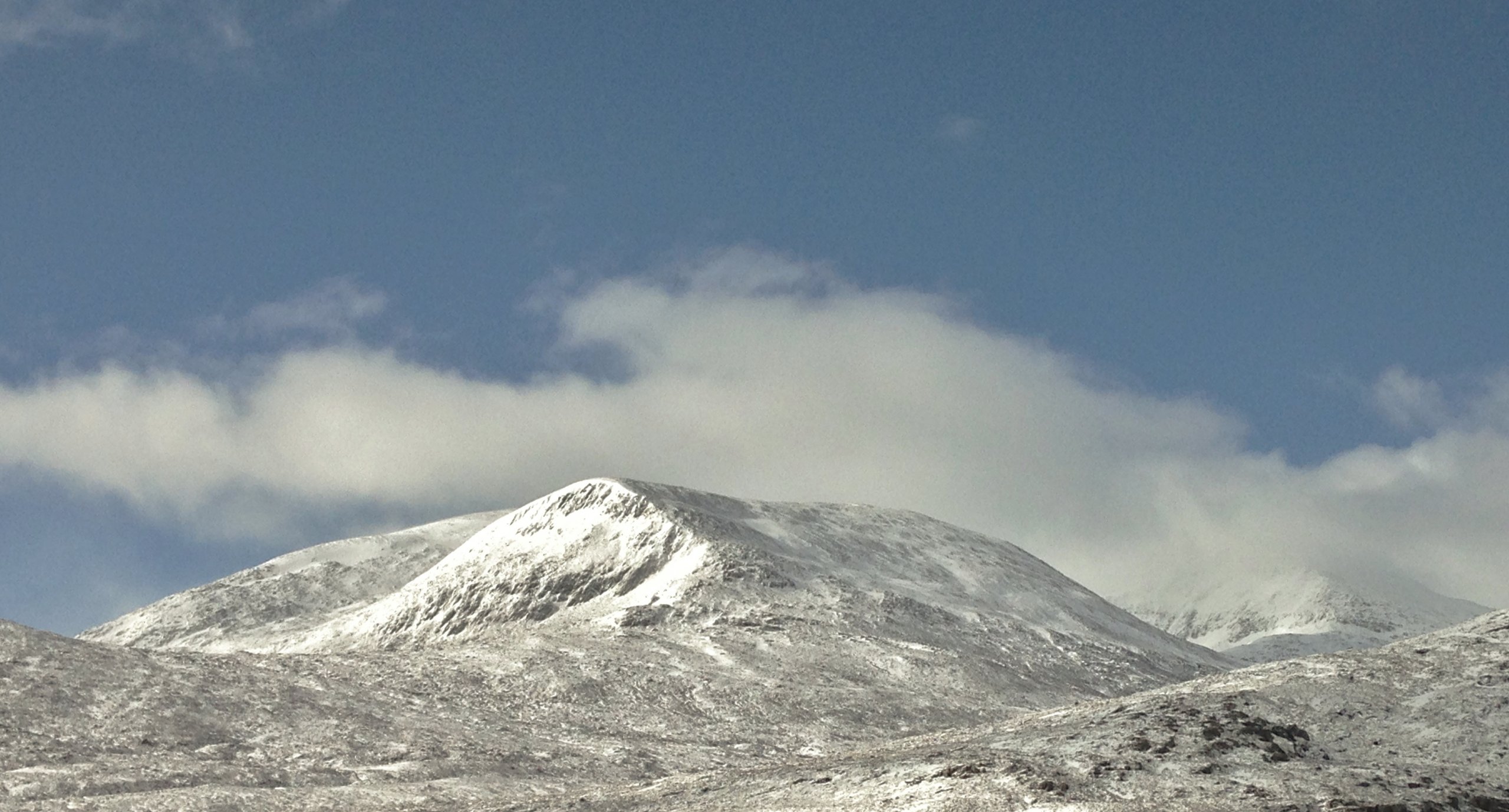
A day of frequent and heavy wintry showers feeding in from the North-West, but bright and occasionally sunny between the showers. There is a shallow cover of fresh snow on most aspects and at most levels. However, there is significant snow transportation in the strong NW wind where moderately bonded windslab is developing in wind sheltered terrain, particularly above 700m. and notably, where it overlies the older snow. (Above) North top of Beinn Liath Mhor Fannaich (820m.) and Sgurr Mor (1110m.) on the right. Such a contrast to the same shot from yesterday, but most of the new snow cover is shallow and superficial, particularly on windward terrain. There is warmth in the sun between showers.
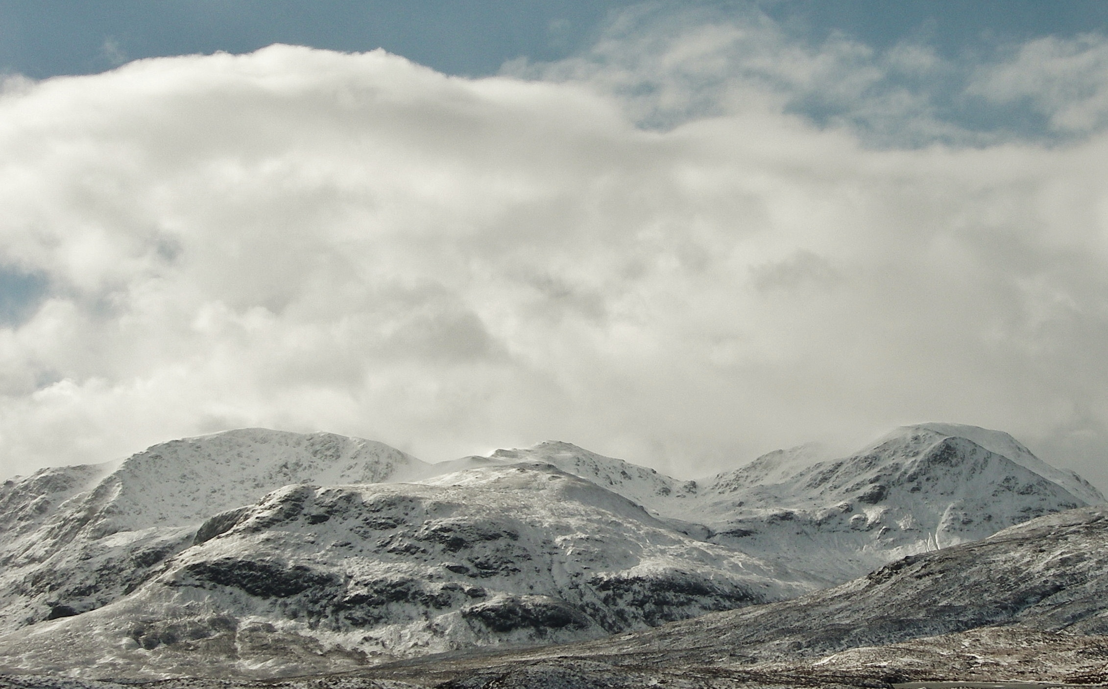
 (Above) The Fannaich mountains of – from left to right; Sgurr Breac (999m.), Toman Coinnich (935m.) and A’ Chailleach (997m.). Some spindrift is noticeable blowing off the more exposed summits and ridges.
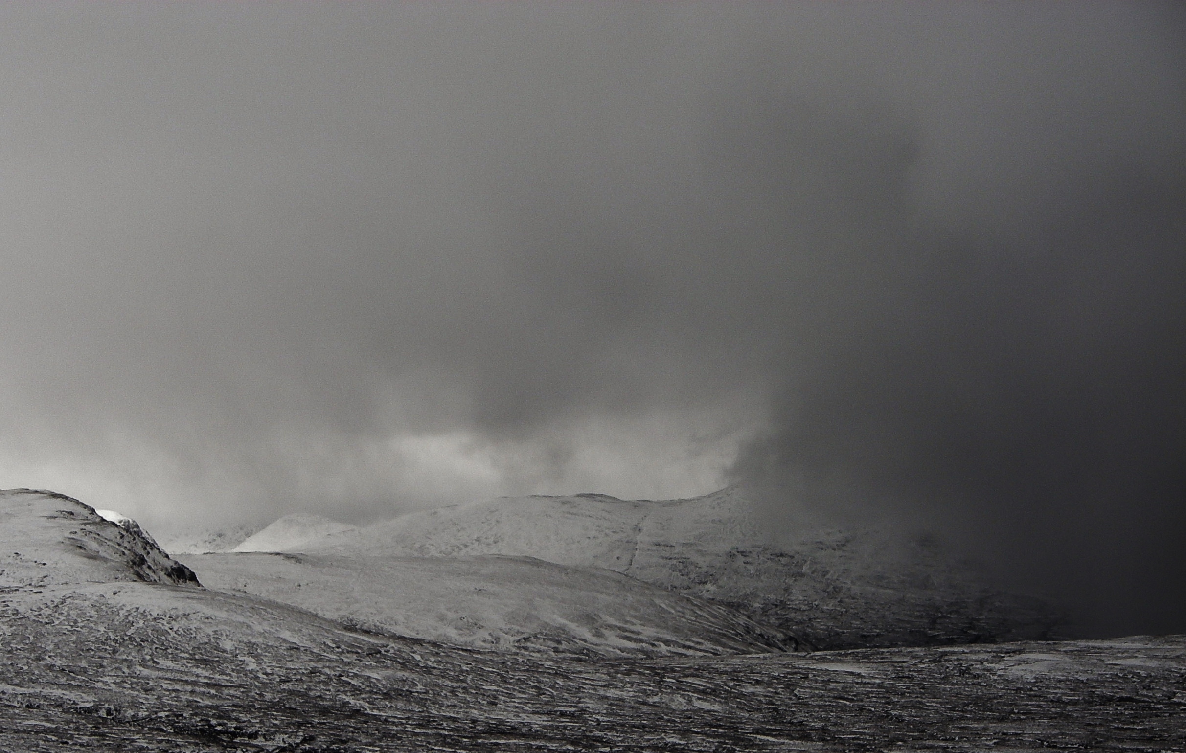
 (Above) Gloomy ahead of an approaching shower. Most of the precipitation initially was graupel (soft hail-like pellets), but turned more to snow as the shower passed overhead.
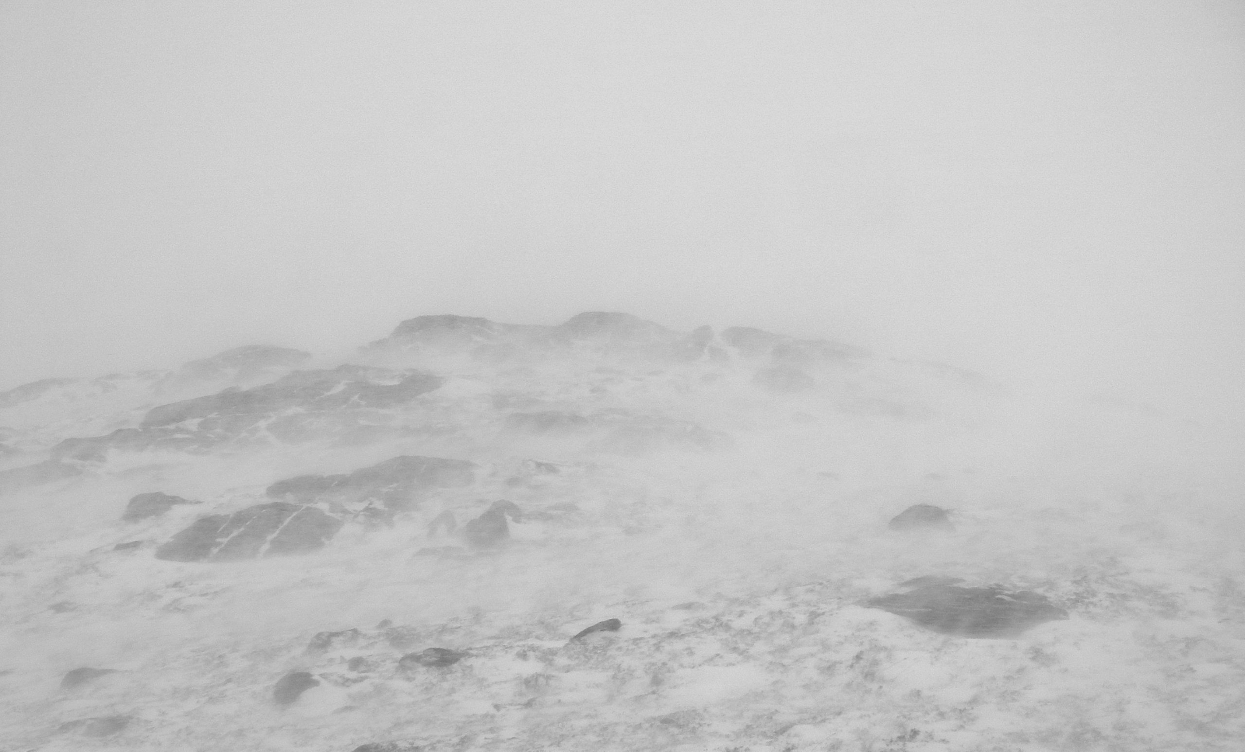
 (Above) Unpleasant, but short lived blizzard conditions during the more intense showers, particularly on exposed terrain.
Comments on this post
Got something to say? Leave a comment


