Cloudy, Wet and Windy
4th April 2021
Covid -19
The Scottish Avalanche Information Service issues information to support permitted activity under current Scottish Government guidance.
Please be aware of current mandatory travel restrictions in Local Authority areas within Scotland and respect local communities by referring to Scottish Government guidance and safe route choices for exercise. For further guidance please refer to the following information for hillwalkers and climbers and snowsports on ski and board.
This blog is intended to provide hazard and mountain condition information to help plan safer mountain trips.
Westerly gales combined with summit cloud, light rain and drizzle made for an unappealing hill walk! However, all change this evening behind a cold front, as a strong Arctic maritime airflow will bring bitterly cold conditions with frequent snow showers to all levels over the next two days. Check out the avalanche forecast for details of developing unstable windslab.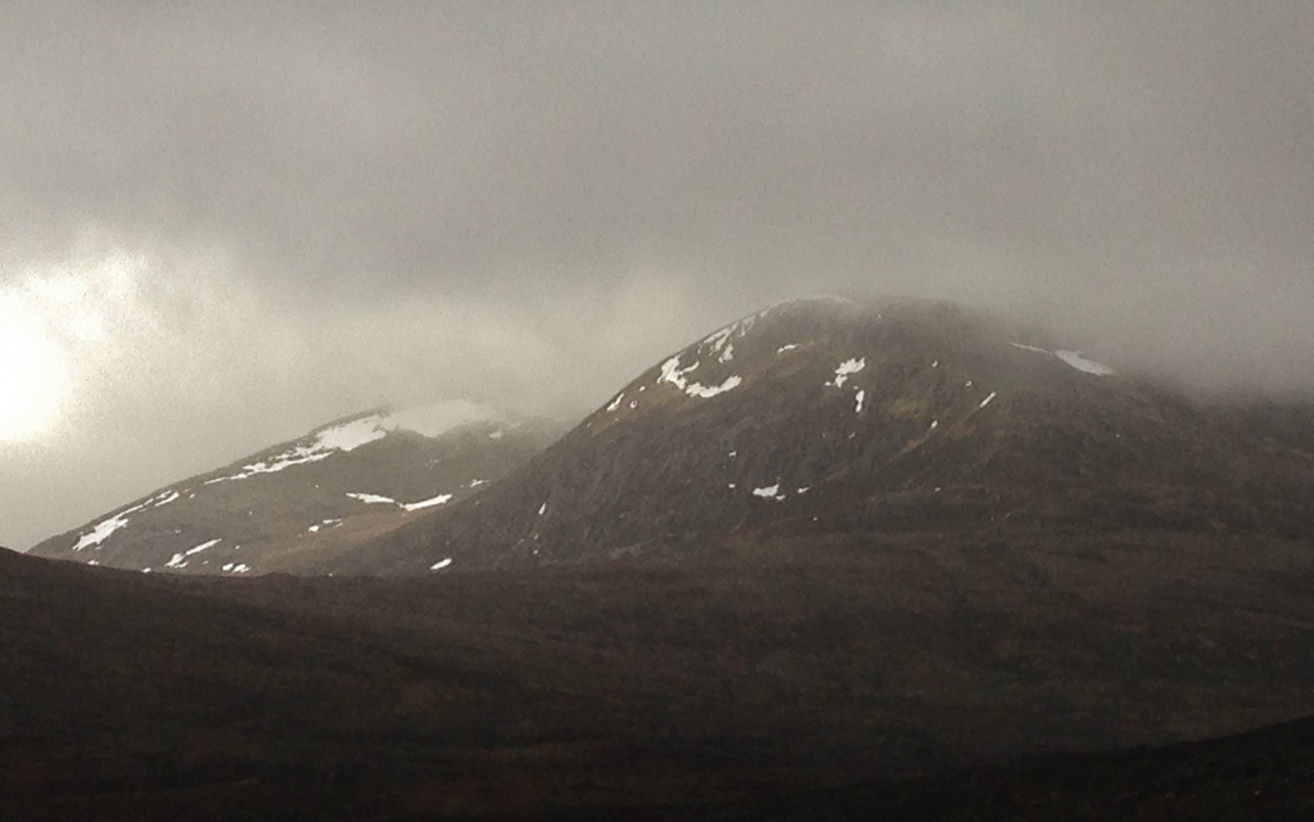
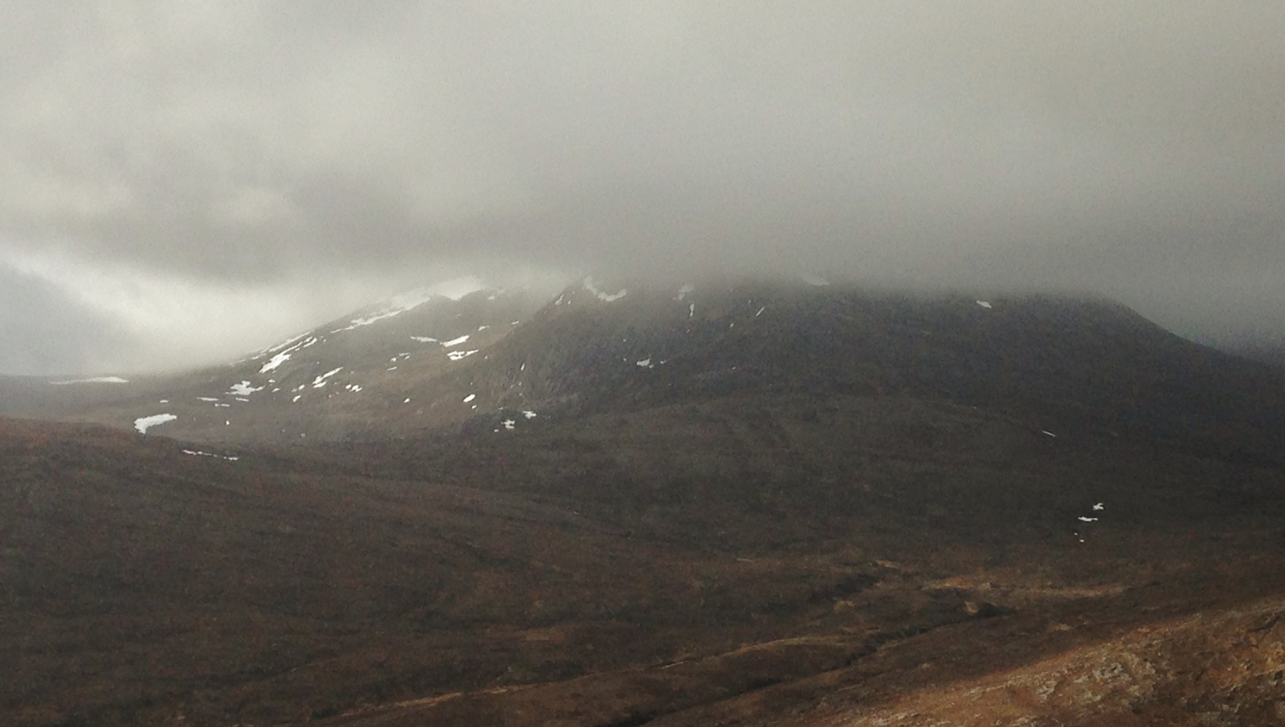 (Above 2 photos) Looking to Beinn Liath Mhor Fannaich (954m.). As good as it got before the bad weather arrived. Cloud base was around 650m., but lowering later as the rain intensified. The freezing level was around the summits, but forecast to drop like a stone behind the cold front!
Comments on this post
Got something to say? Leave a comment


