Scattered Snow Showers
23rd January 2021
Covid -19
The Scottish Avalanche Information Service issues information to support permitted activity under current Scottish Government guidance.
Please be aware of current mandatory travel restrictions in Local Authority areas within Scotland and respect local communities by referring to Scottish Government guidance and safe route choices for exercise. For further guidance please refer to the following information for hillwalkers and climbers and snowsports on ski and board.
This blog is intended to provide hazard and mountain condition information to help plan safer mountain trips.
Good sunny spells between wintry showers today, although the showers were occasionally prolonged with heavy snowfall at times and drifting in a moderate to strong Westerly wind. Although the snowpack shows some consolidation, areas of moderate to poorly bonded windslab exists in steep sheltered locations, mainly North-East to South-East aspects above 700 metres.

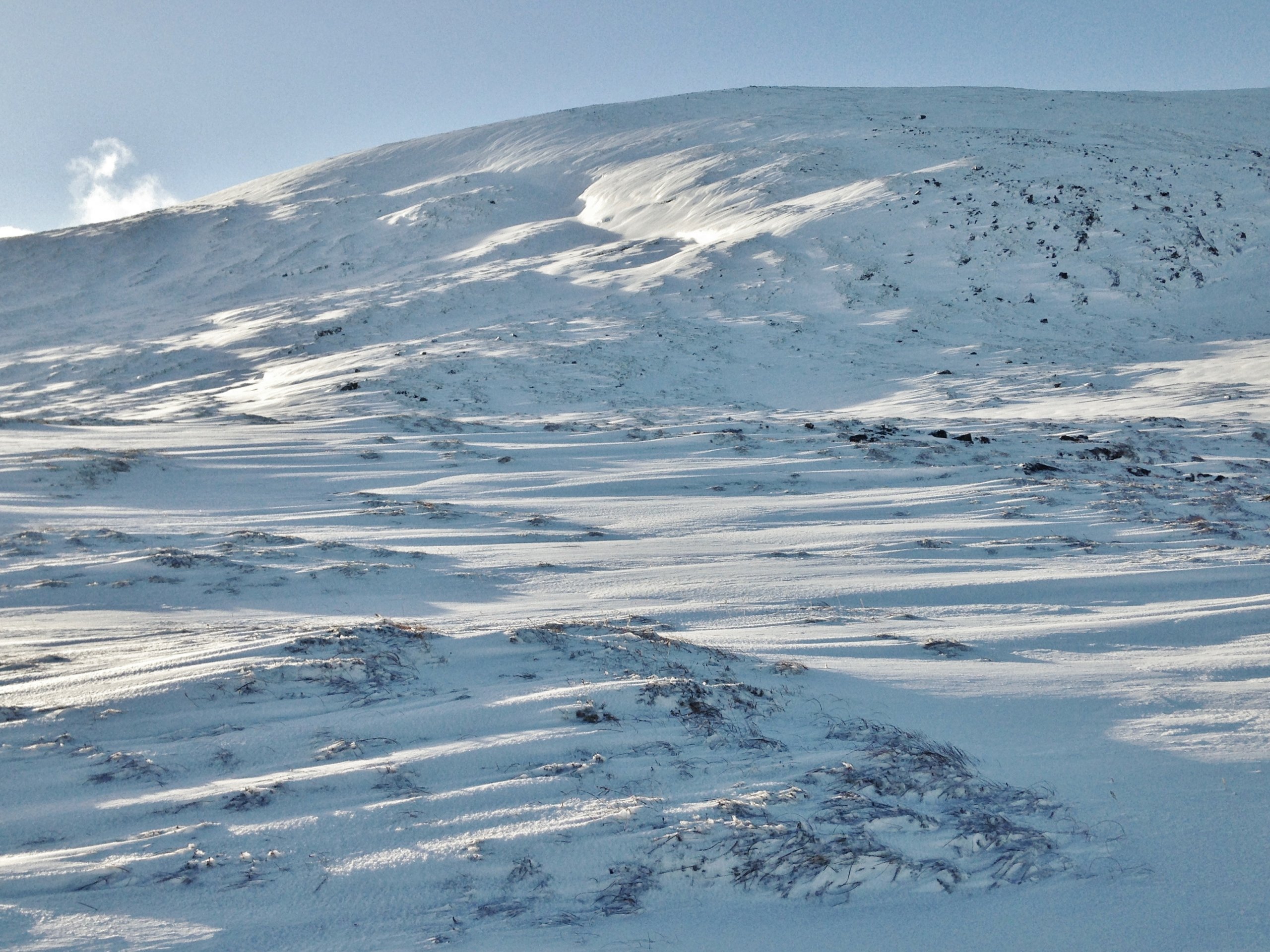
(Above) Beinn Liath Bheag in the Fannaichs and the location for today’s snowpack observations. Fresh ‘snowtails’ in the foreground indicating that there has been strong winds in recent times (blowing from right to left) and snow drifts noticeable on the hillside in sheltered locations at 550m elevation, North-East aspect.

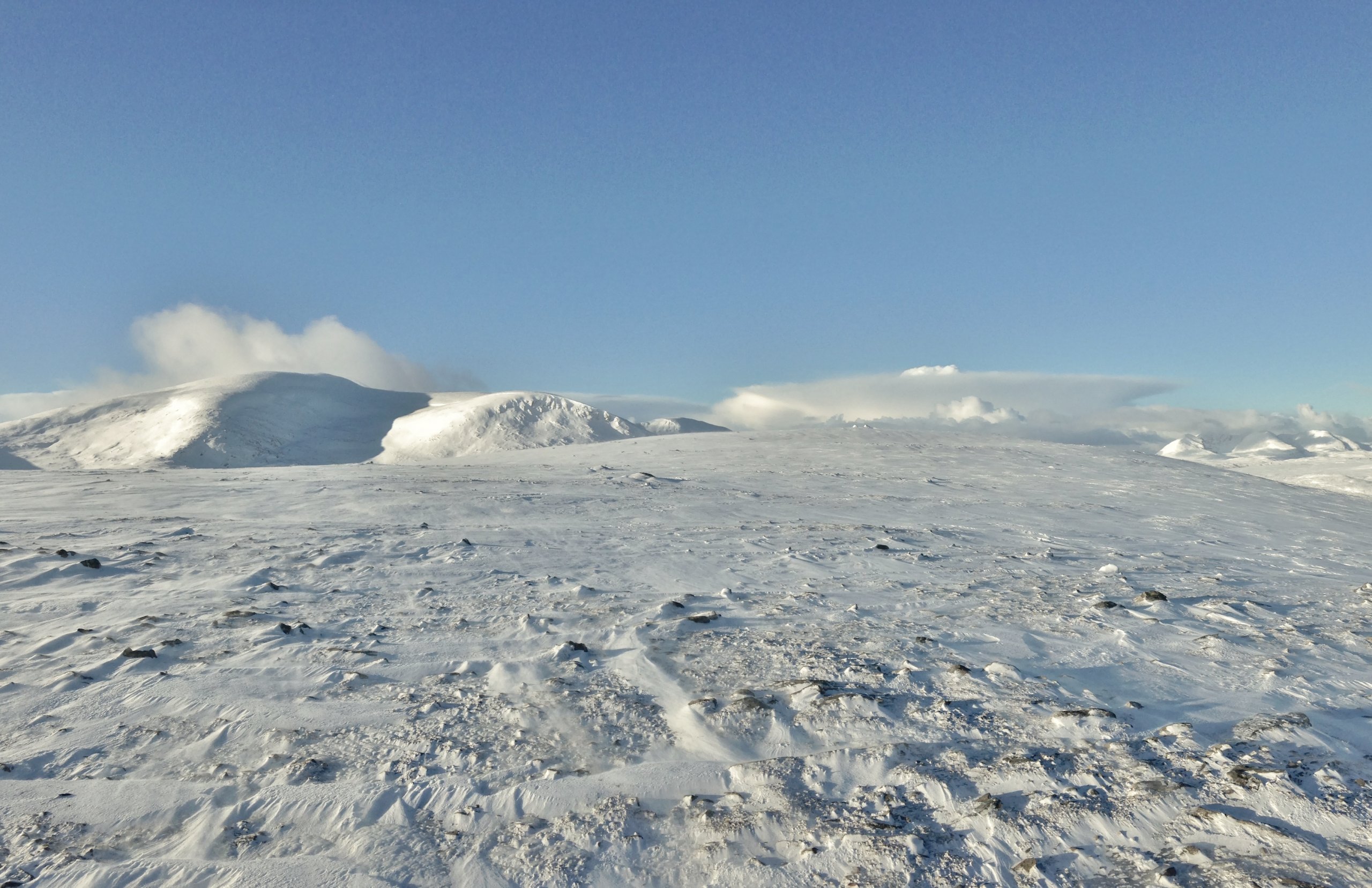
(Above) Looking from Bienn Liath Bheag to East aspects of Beinn Liath Mhor Fannaich. The flat topped Cumulo-nimbus cloud on the horizon is of an approaching snow shower.

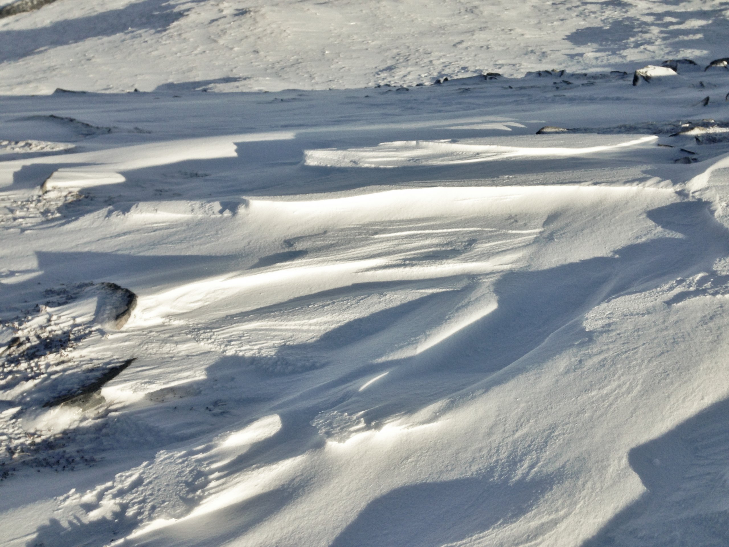
(Above) Sastrugi – snow erosion features as an indication of recent snow redistribution.

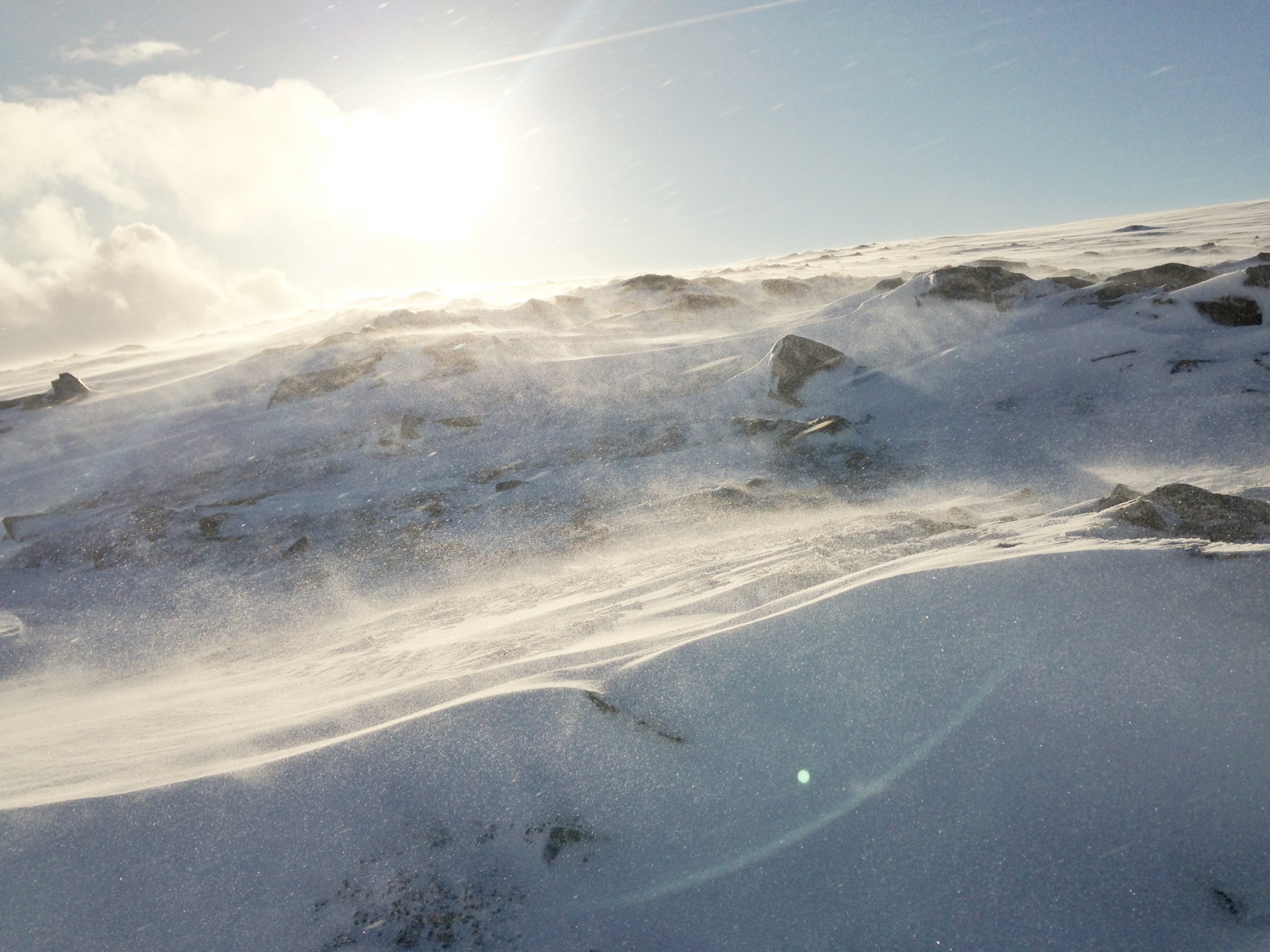
Above) Although there was generally light to moderate winds, stronger during showers, snow redistribution as low level spindrift was occurring.
Comments on this post
Got something to say? Leave a comment


