Wintry Showers
7th January 2021
Covid -19
The Scottish Avalanche Information Service issues information to support permitted activity under current Scottish Government guidance.
Please be aware of current mandatory travel restrictions in Local Authority areas within Scotland and respect local communities by referring to Scottish Government guidance and safe route choices for exercise.
This blog is intended to provide hazard and mountain condition information to help plan safer mountain trips.
Little change in the snowpack with good snow cover above 250m and hard going breaking trail. Small accumulations of fresh snow observed above 600m. Deep instabilities persist in localised areas of existing windslab, mainly steep locations above 800m, NE through SE to SW aspects. Avalanche hazard; Moderate. More snow forecast overnight, mainly light showers.

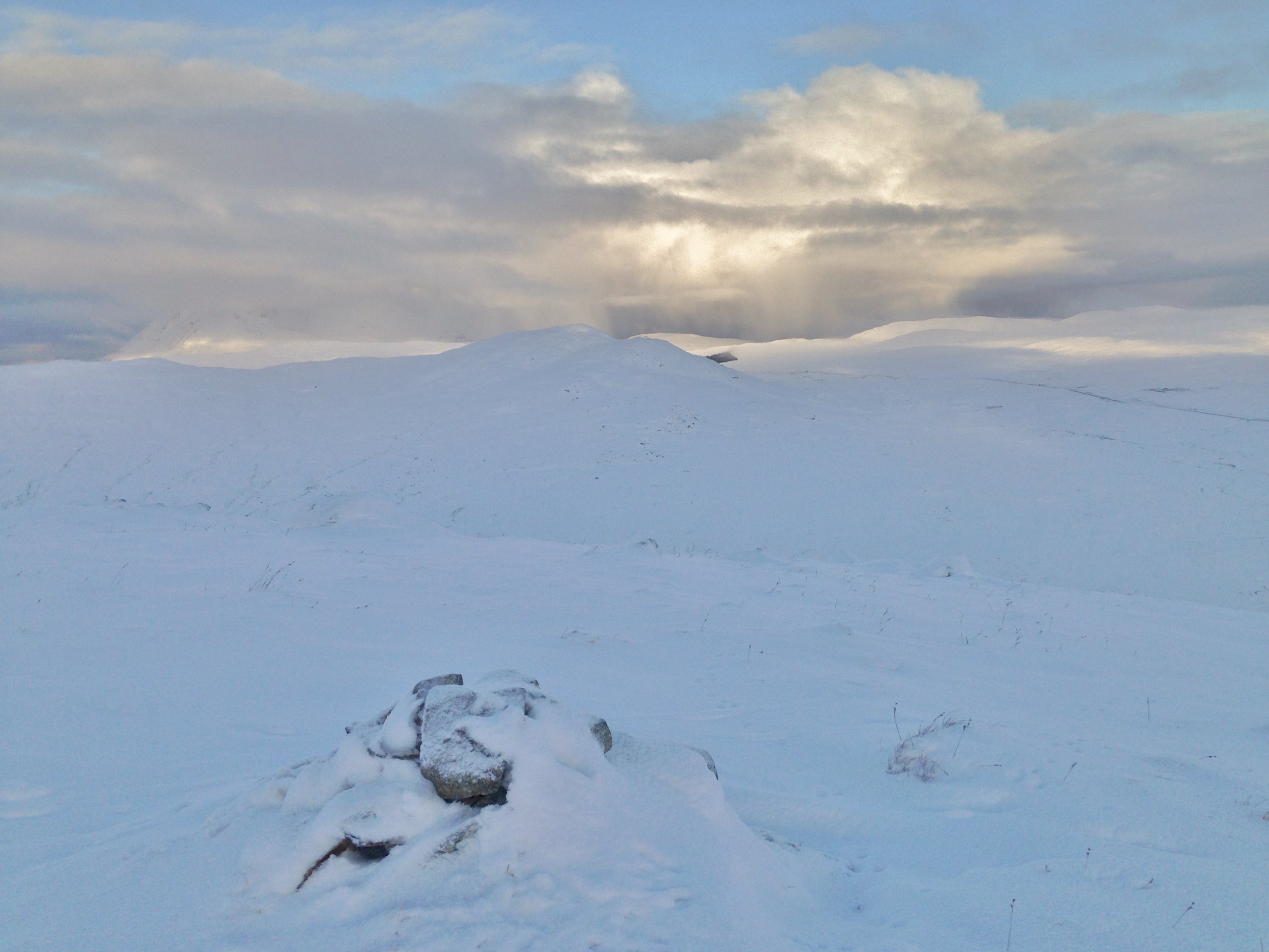
(Above) After a cloudy start, it began to break around mid morning. Deep snow cover, mostly lying on bare ground rather than a base of older snow. Snow showers on the coast drifted inland, especially in the afternoon, some prolonged.

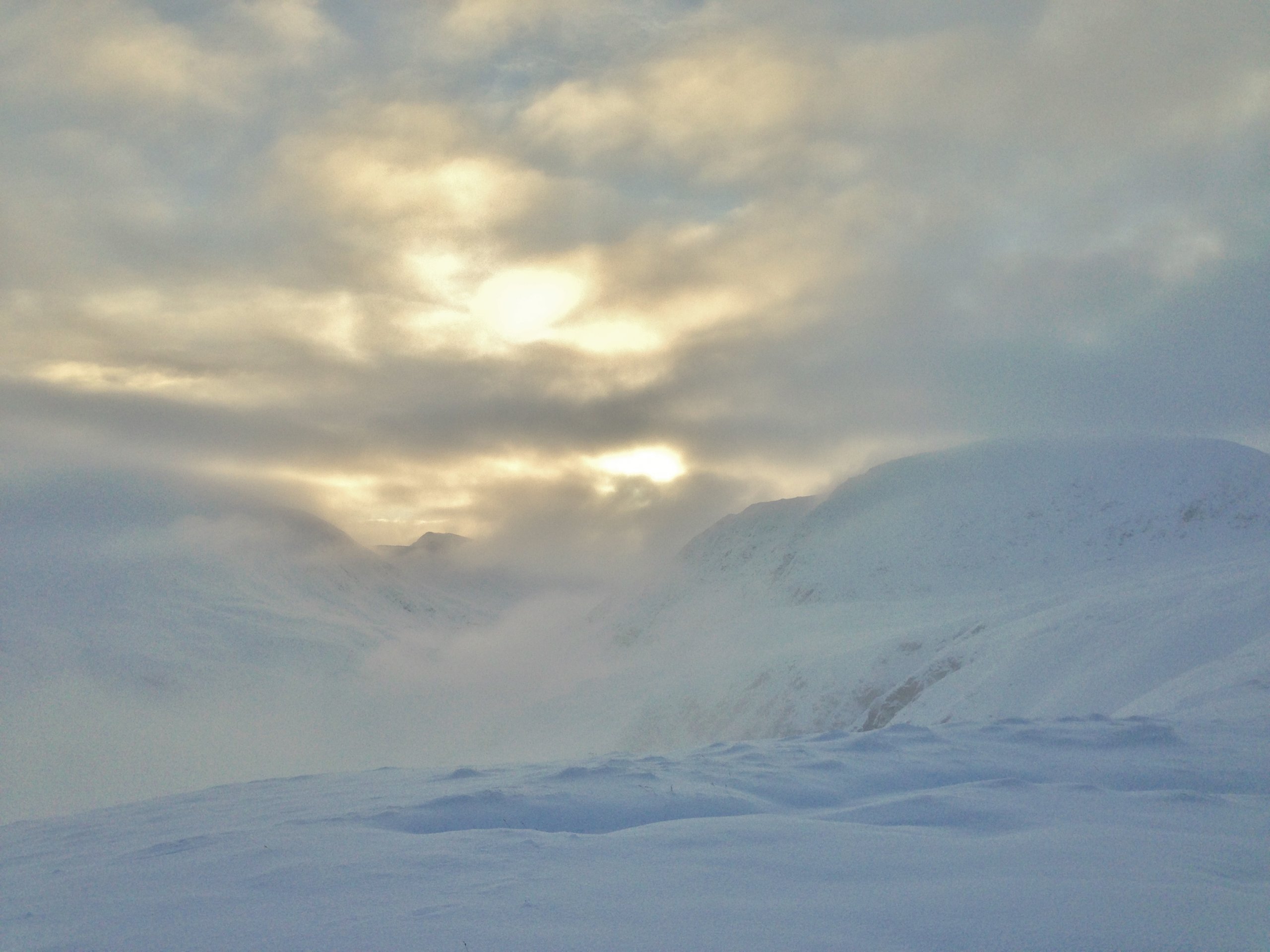
(Above) A white landscape in the Fannaichs today. Typically flat light most of the time with a teasing hint of white mountains as the cloud broke at times. Sgurr Breac (999m) on the right and Sgurr nan Clach Geala (1093m) on the left. Slow going on foot therefore allow extra timing for your trip. Good navigation is required in conditions of low cloud and flat light combined with full snow cover.
Comments on this post
Got something to say? Leave a comment


