Overnight snow
16th March 2026
Heavy showers overnight brought snow down to around 400 metres.
It was quite cold overnight and stability would have been poor as the new windslab was distributed.
The freezing level slowly crept up during the day and this has had a positive effect on the snow stability.
Another thaw-freeze weather event will really stabilise any existing weak layers and that’s looking like it’s on the cards for the next few days. Tonight will see the beginning of the thaw and associated period of instability as a warm front passes over.
A cold front will pass over later on Tuesday and the freezing level will lower. High pressure is forecast to build into Wednesday bringing some stability to the weather and snowpack.
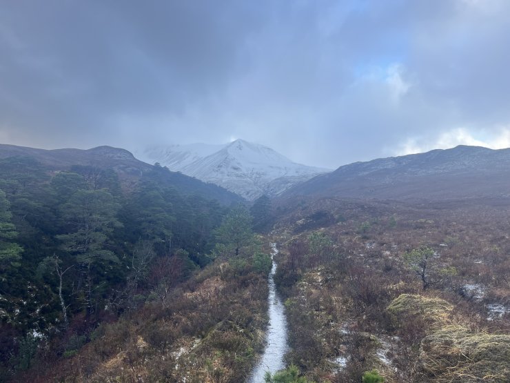
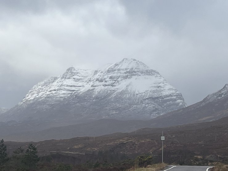
Creag Dhubh at the eastern end of the Beinn Eighe massif.
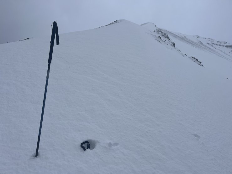
A rather large snow drift on an easterly ridge feature at around 700 metres. Probing with the right hand pole did not touch the ground.
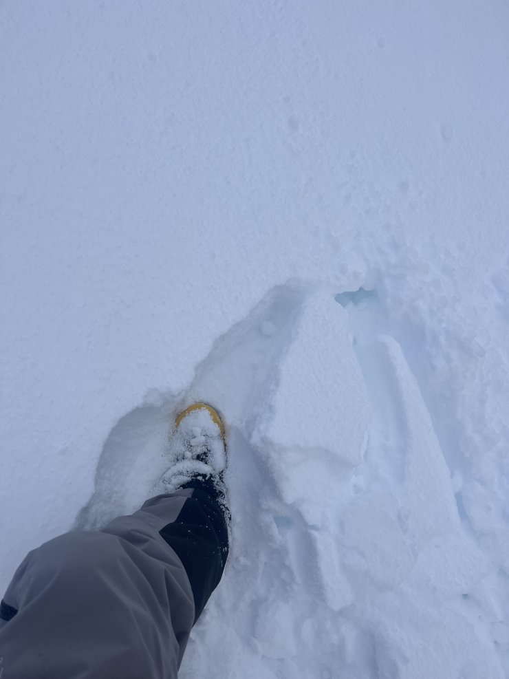
Instabilities in the new snow accumulations.
Looking towards Sgurr nan Fhir Duibhe from Creag Dhubh.

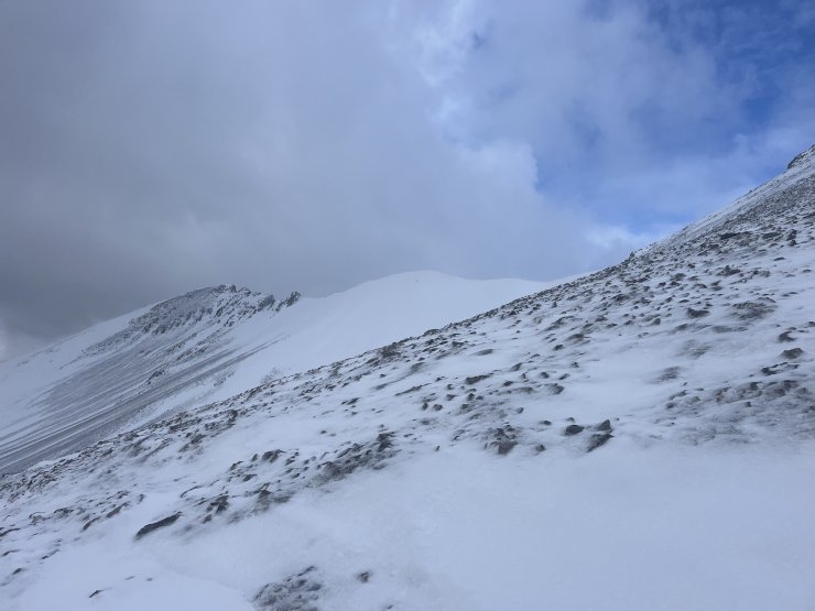
Summit photo looking West from Creag Dhubh.
Liatach today. Yesterday’s photograph was from a similar position and shows extent of new snowfall.
![]()
Comments on this post
Got something to say? Leave a comment