Wind chill
23rd January 2026
Another day of gale force winds, although it was more easterly today and noticeably colder compared to yesterday. The cloud lingered frustratingly around the tops making it difficult to see how much snow has survived the recent thaw. The snow level starts around 500 metres and is patchy, but improves with height with the greatest amounts above 800 metres.
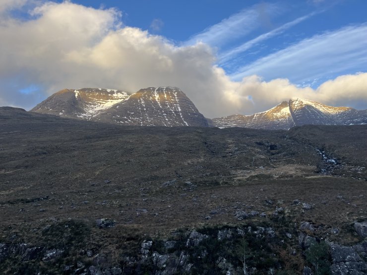
(Above) Slightly better visibility further west at Beinn Alligin.
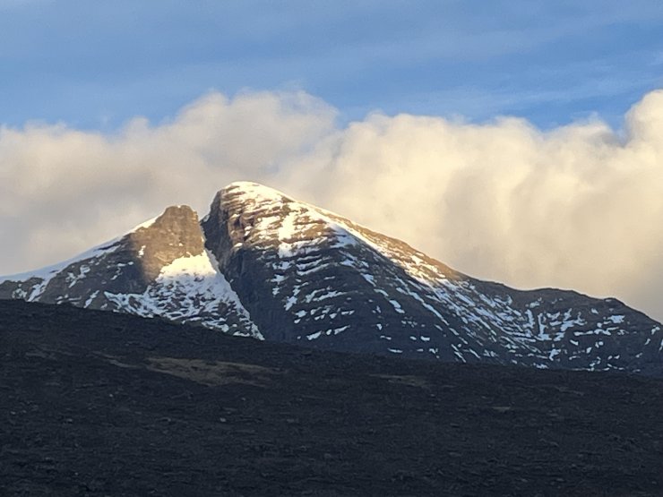
(Above) Sgurr Mhor (Beinn Alligin).
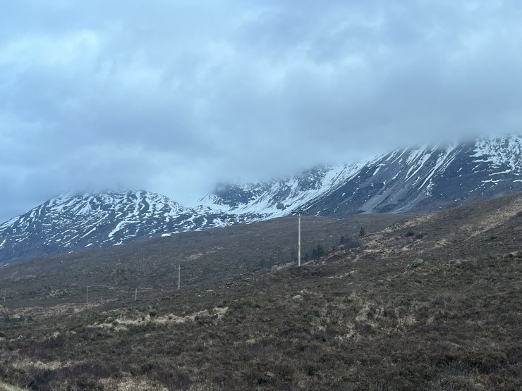
(Above) Lower slopes of Spider Coire nan Clach (Beinn Eighe).
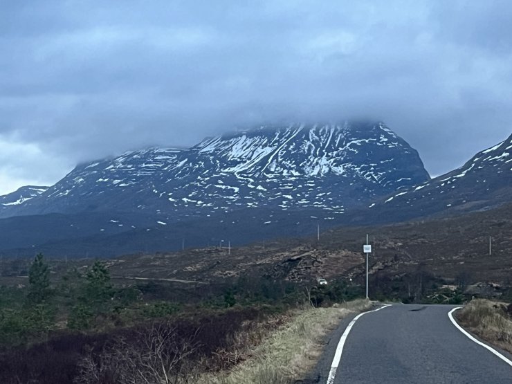
(Above) Patchy cover on the southerly slopes of Liatach.
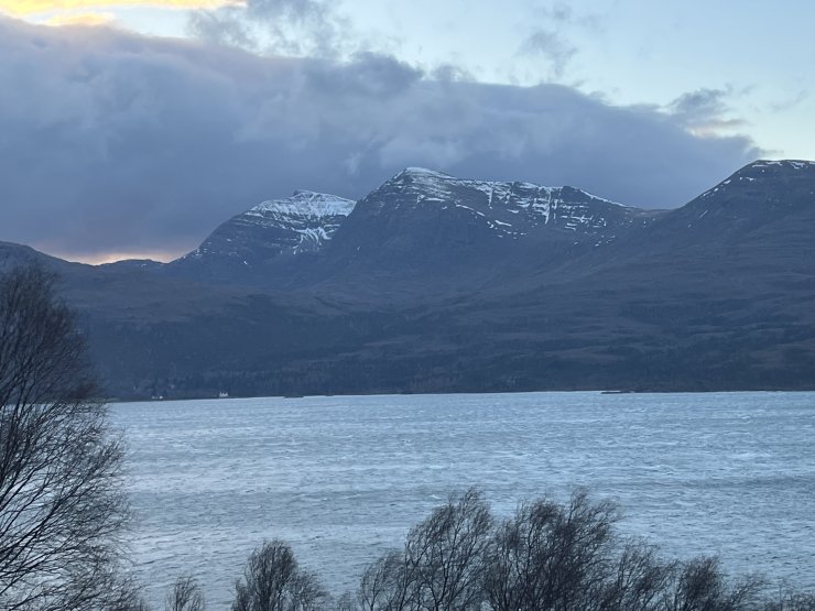
(Above) Looking across Loch Torridon towards Beinn Damph Forest.
Comments on this post
Got something to say? Leave a comment