Thaw conditions
21st January 2026
Strong overnight winds and milder temperatures have depleted the snowpack at lower elevations. The winds dropped during the day however below 900 metres the thaw continued, the snowpack remaining firm above this height.
The summits were in the cloud most of the day so photos from high up were limited today, a few photos from lower down during clearer spells give an idea of the remaining snow. The lowest significant snow patches are now around 500 metres with better cover above around 700 metres.
Further snowmelt is expected overnight Wednesday with the freezing level above the summits with Gale force winds. Above around 800 metres the snow surface will begin to refreeze as the freezing level falls during Thursday the afternoon. The South-Easterly airstream is forecast to bring relatively dry but overcast conditions through the next few days.
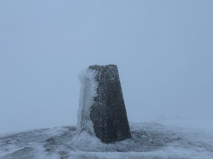
No views from the top of Fionn Bheinn (933m) today. The freezing level was around 900 metres, shown by the rime remaining on the trig point a this height. The snow was also firm near the summit.
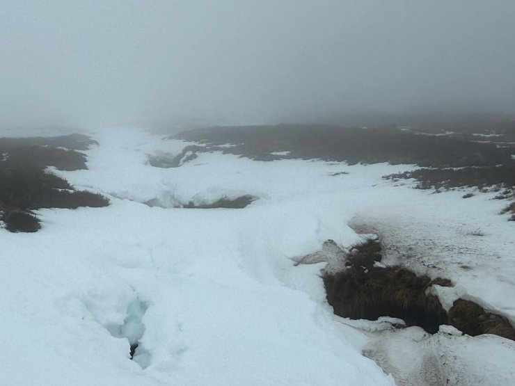
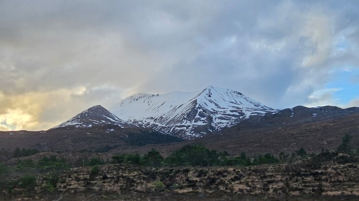
Snow at around 600 metres. Most of the snow is around burn lines at this height and thaw conditions here create an extra hazard.
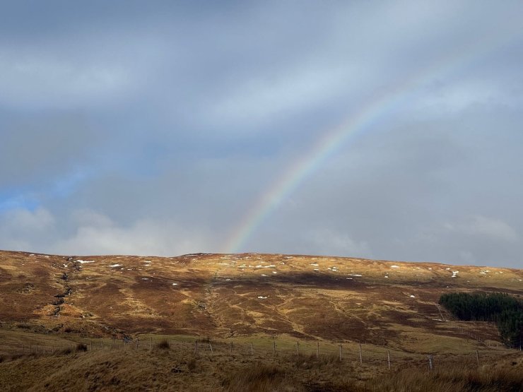
Looking up the lower slopes of Fionn Bheinn from Achnasheen, only small patches of snow remain.
Liathach
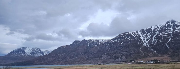
Beinn Alligin on the left, Liathach on the right
Creag Dhubh, Beinn Eighe
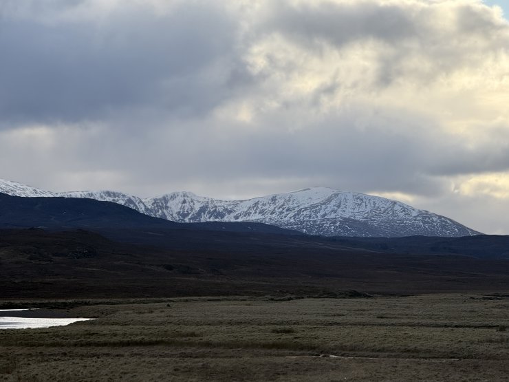
Moruisg on the South side of Glen Carron
Comments on this post
Got something to say? Leave a comment


