Bad Timing on BLMF
5th February 2025
Felt like winter returned today in the Fannaichs; snow showers, cloudy at times, strong winds and freezing level around 700m, with fresh snow drifting at higher elevations. New snow was settling around 450m this morning and there is a shallow covering on most aspects, although wind exposed terrain was scoured in the strong South-West wind. The old snow is refrozen and firm.
Isolated pockets of windslab has formed in wind sheltered locations, mainly on North to East aspects and most obvious above 800m., although it is generally shallow and limited in extent. Little change in the snowpack for tomorrow. High pressure will dominate our weather for the next few days, dry with hopefully some good sunny periods.
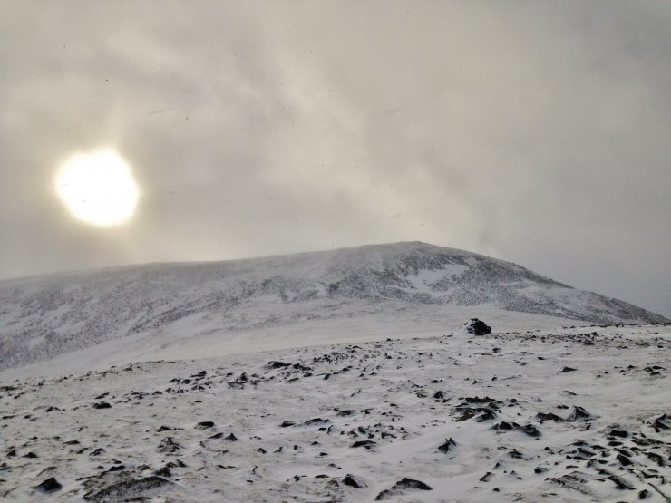
(Above) The summit of BLMF (Beinn Liath Mhor Fannaich), 954m. I was hoping for a view onto the East face of Sgurr Mor but mistimed it as a snow shower engulfed the tops. Typical that it cleared just as I was descending. There is an obvious shallow covering of fresh snow. Most of the larger areas of snow is of refrozen old snow.
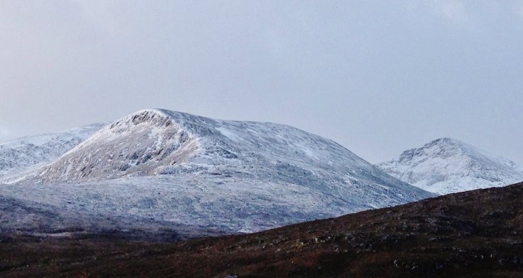
(Above ) New snow on Sgurr Mor (right) and the North top of BLMF (left).
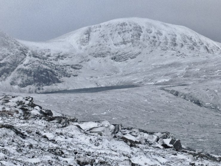
(Above) The NE aspect of Meall a’ Chrasgaidh (934m) above Loch a’ Mhadaidh. The winter climbing crags of Carn na Criche on the left.

(Above) Cloudy summits. A rare bit of sunshine between the snow showers over Beinn Dearg.
Comments on this post
Got something to say? Leave a comment


