Hill Fog
2nd April 2024
Persistent hill fog and mizzle in the Fannaichs today, so summit views were at a premium. Bitterly cold at height with a fresh to strong Easterly wind. Freezing level was above 900m so any precipitation on the highest tops was wintry. Litlle change to the snow cover from yesterday; it remains limited in extent, well consolidated and stable, refrozen around the highest summits.
Colder tomorrow and a stronger easterly airflow, reaching gale force on high exposed summits will produce a severe windchill. The light precipitation will persist overnight, mainly in the eastern ranges exposed to the east wind and wintry down to around 500m.
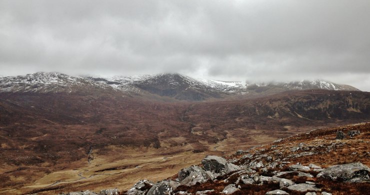 (Above) The cloud base fluctuated around 800m. in the northern Fannaichs.
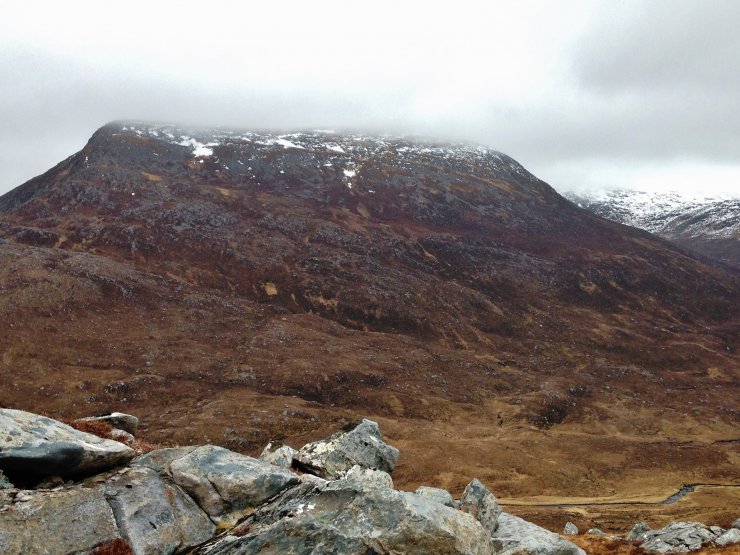 (Above) The NW aspect of the North top of Beinn Liath Mhor Fannaich (830m.).
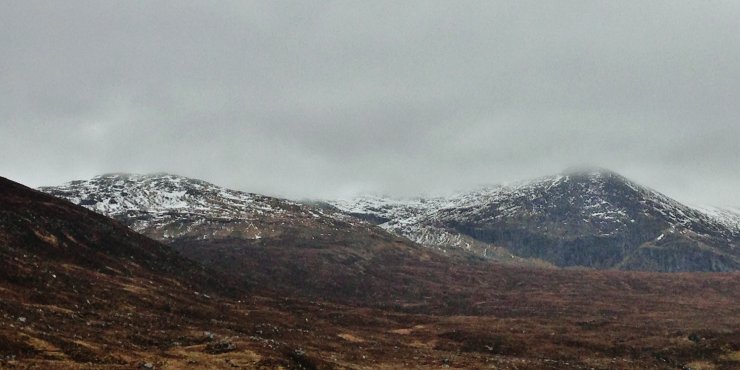 (Above) The lower slopes of Sgurr Mor on the left and Carn na Criche on the right. Cloud base at 840m.
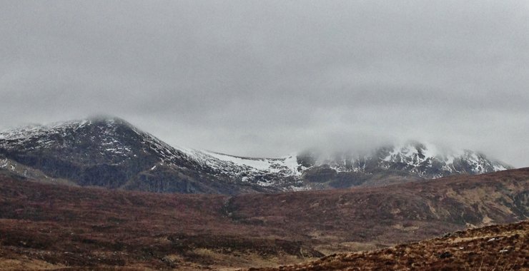 (Above) The NE aspect of Meall a’ Chrasgaidh on the right. The bealach between it and Carn na Criche on the left is at 800m.
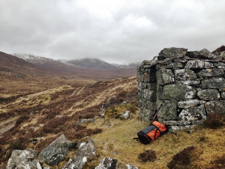
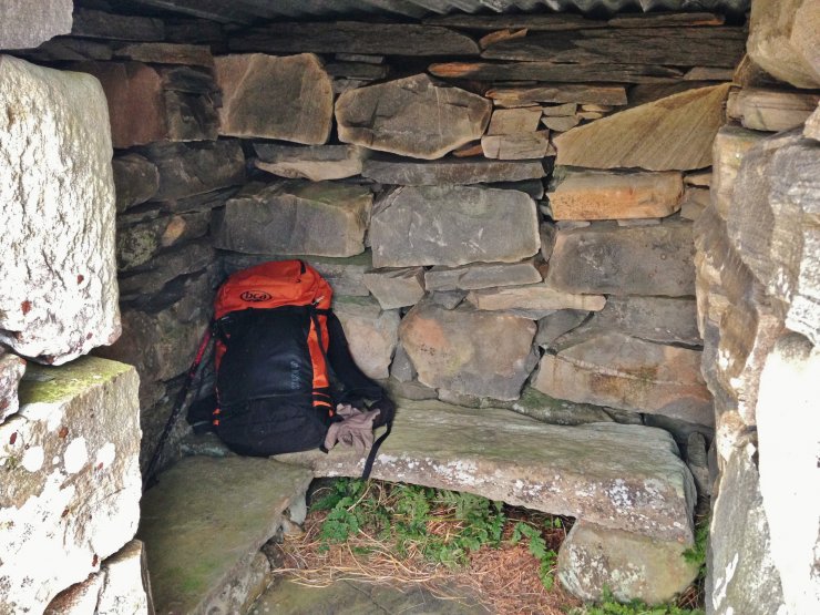
(Above 2 photos) One of many well constructed ‘howffs’ in the Fannaichs.
Comments on this post
Got something to say? Leave a comment


