Wintry on Inland Mountains
29th March 2024
A dusting of overnight new snow above 700m thawed throughout the day, particularly at lower elevations and on sunny aspects. Otherwise, the snowpack is generally well consolidated and stable throughout. Looking very wintry above 800m. on the more inland mountains. The snow at higher elevations remains very firm, icy in places with serious run-outs in the event of an un-arrested slide.
Below are a few photos/panoramas showing the general distribution of the snow cover across the Torridon forecast area, from North/inland to South/coastal mountains.
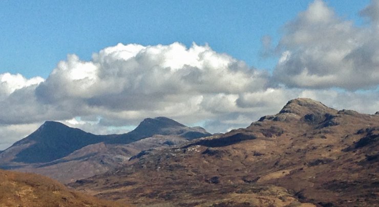
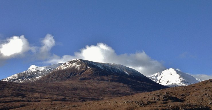 (Above) North top Beinn Liath Mhor Fannaich on the left and a wintry looking Sgurr Mor behind,
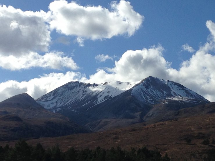
 (Above) The northern coires of the Moruisg hills from near Achnasheen.
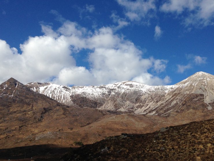
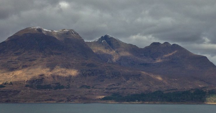
 (Above) The snowy NE to SE aspects of the east end of Beinn Eighe from near Kinlochewe.
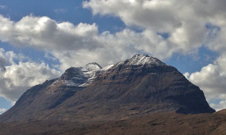
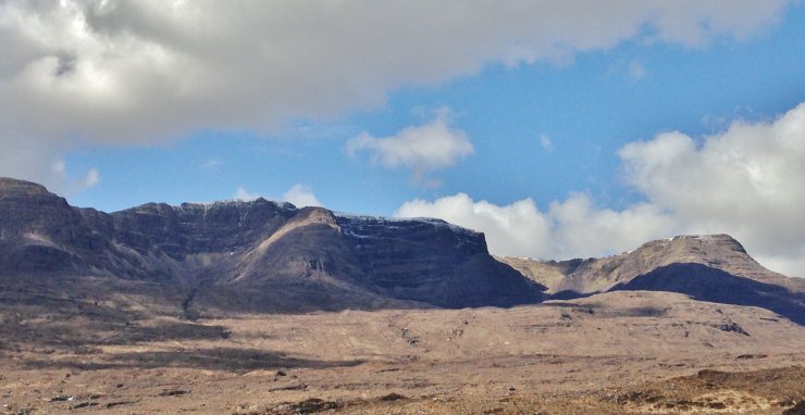
 (Above) South aspects of the Beinn Eighe ridge between Spidean Coire nan Clach on the left and Sgurr nan Fhir Duibhe on the right.
 (Above) Liathach from Glen Torridon.
 (Above) Beinn Alligin across Upper Loch Torridon. Snow is beginning to run out on the more coastal hills!
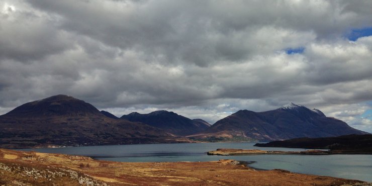 (Above) Looking up Loch Torridon to the south aspects of (left to right) Beinn Alligin, Beinn Dearg and Mullach an Rathain at the West end of Liathach.
 (Above) Spot the snow? The South-West aspects of the Achnashellach hills.
 (Above) The Eastern coires of Beinn Bhan of the Applecross hills.
 (Above) Springtime in Kishorn with Sgurr a’ Chaorachain behind. It was +13C at sea level this afternoon.
Comments on this post
Got something to say? Leave a comment