Go Compare
18th March 2024
Other comparison sites are available….! The snow cover continues to thaw at all elevations and is stable throughout. Most snow that remains is patchy old snow and largely restricted to mountains away from the coast such as the northern Fannaichs, Fionn Bheinn and the east end of Beinn Eighe, generally on N to E aspects above 850m. and even in these areas, there are bare slopes, ridges and summits.
Below are a few photos taken from similar locations in the Fannaich mountains showing the diminishing snow cover over the last three days. The last significant snowfall on Thursday overnight into Friday has mostly thawed.
Today’s wildlife highlight was seeing many frogs frolicking in the peat hag pools. A few clusters of frog spawn too.
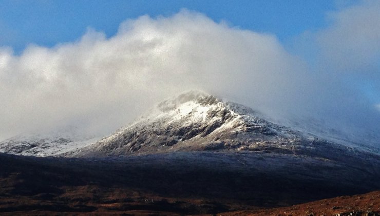
The first three photos below are of the North top of Beinn Liath Mhor Fannaich (830m.) – Sat 16th, Sun 17th and today, Mon 18th.

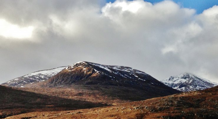 (Below) The next 2 comparison photos are of Sgurr Mor (1110m.) and Carn na Criche (961m.) taken yesterday 17th and today 18th.

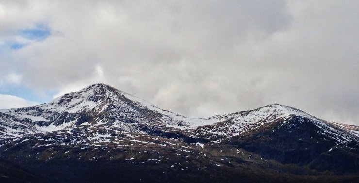 (Below) And finally, 2 photos of the NE aspects of Meall a’ Chrasgaidh (934m.), yesterday 17th and today the 18th.


Basically, there is a slow thaw and the snow cover is diminishing and bear in mind that these photos are showing the greatest amount of snow that remains in the Torridon forecast area.
Comments on this post
Got something to say? Leave a comment


