Deep Snow Cover
17th January 2023
A day of frequent and occasionally heavy snow showers with some thunder mixed in for good measure earlier in the morning. It is difficult walking (never mind roadside parking!) through deep unconsolidated snow from glen level upwards – 40 to 60cm fresh snow at mid elevations. Although the W to NW winds are not strong, there is enough snow transportation at higher elevations for a more widespread development of unstable windslab and new cornice growth. More of the same tomorrow.
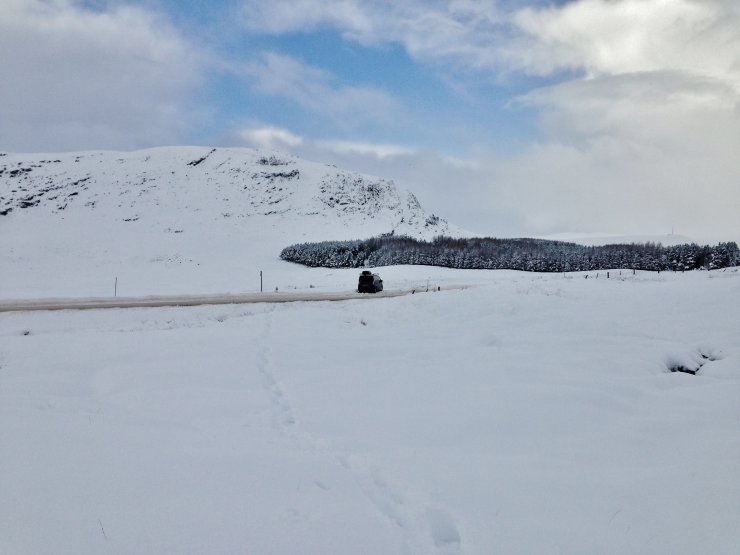
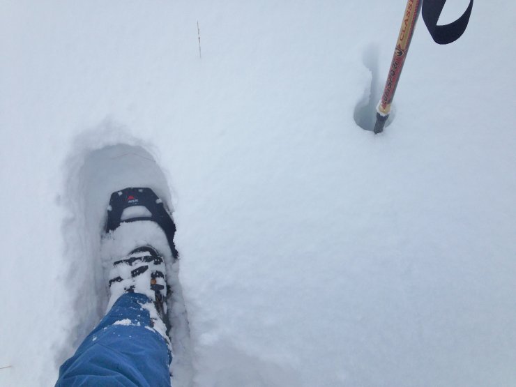
(Above 2 photos) Snowshoes necessary from the get go – after digging in the van to park! Much graupel features in the snow profile, typical of wintry showers on the current North-Westerly Arctic Maritime airflow.
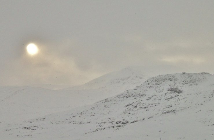
(Above) Although the summits were cloudy for most of the day, glimpses of the higher peaks of the Fannaich mountains were possible during the short breaks between showers. In the background is the NE face of the north top of Beinn Liath Mhor Fannaich where, through binoculars, spindrift, new cornice growth and fresh windslab was visible on/above the lee (North-East and East) aspects.
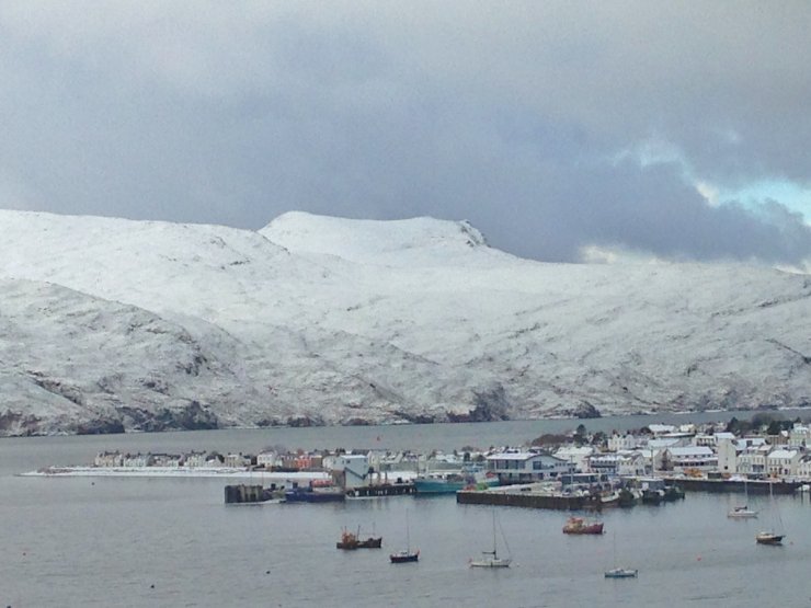
(Above) Cold. Snow to sea level. Ullapool has had snow on the beach now for a few days. The hill in the background is Beinn Ghobhlach (pron. Gowlach) at 635m.
Comments on this post
Got something to say? Leave a comment


