A Fine Morning
29th December 2022
A fine morning rapidly deteriorated by early afternoon as a band of rain, sleet and snow and strong West to North West winds crossed the Torridon area.
Although it looks very wintry above 500m, the snow cover is relatively shallow and has generally good stability throughout. However, poorer stability in pockets of windslab that have accumulated in steep easterly aspects at higher elevations. More snow forecast for the summits throughout the day tomorrow.
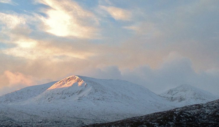
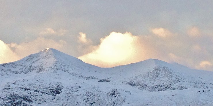
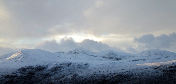
(Above 3 photos) Looking into the east aspects of the northern Fannaich mountains. The snowline is around 300m.
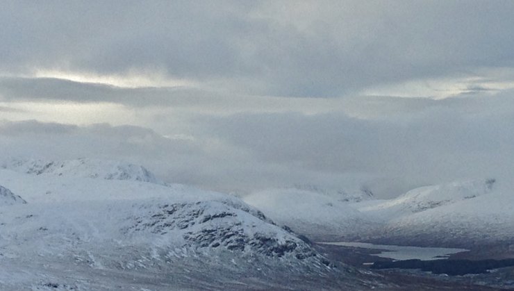
(Above) Clouding over from the SW. Loch a’ Bhraoin with Slioch behind and A’ Chailleach on the left.
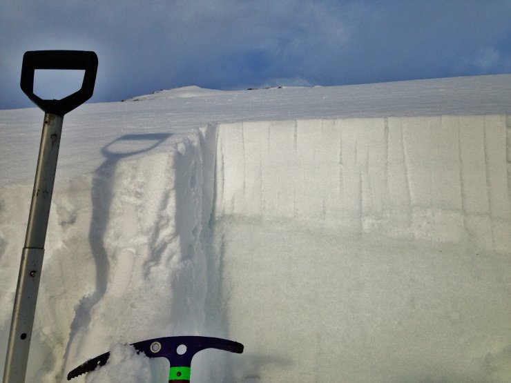
(Above) Collecting snowpack data – in the sun…. There are 2 obvious layers; the top lighter layer is more recent snow (windslab) lying on top of older and darker consolidated snow. Check out today’s snow profile page on our website for details.
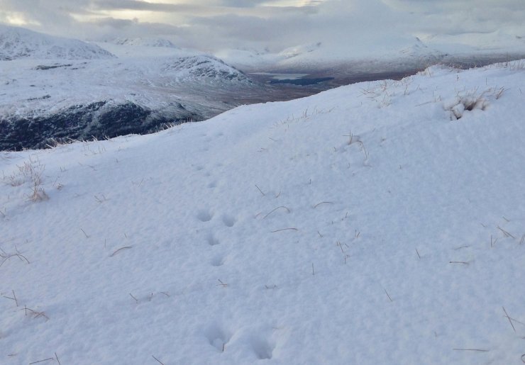
(Above) Always good to see evidence of Mountain Hares. And usually a sign of clement weather at the time…

(Above) Time to head down as dark clouds snub out the last of the sun on An Teallach. Beinn Dearg Mor and Beinn Dearg Bheag on the left.
Comments on this post
Got something to say? Leave a comment


