The Early Bird ……
3rd April 2022
With an early start and early finish today, I just managed to dodge the rain, wind and cloud which arrived in the North-West by late morning! The rain was preceded by some summit sleet and snow, but not in any significant amounts. It will become much milder this afternoon and the rain will be heavy for a time at all levels.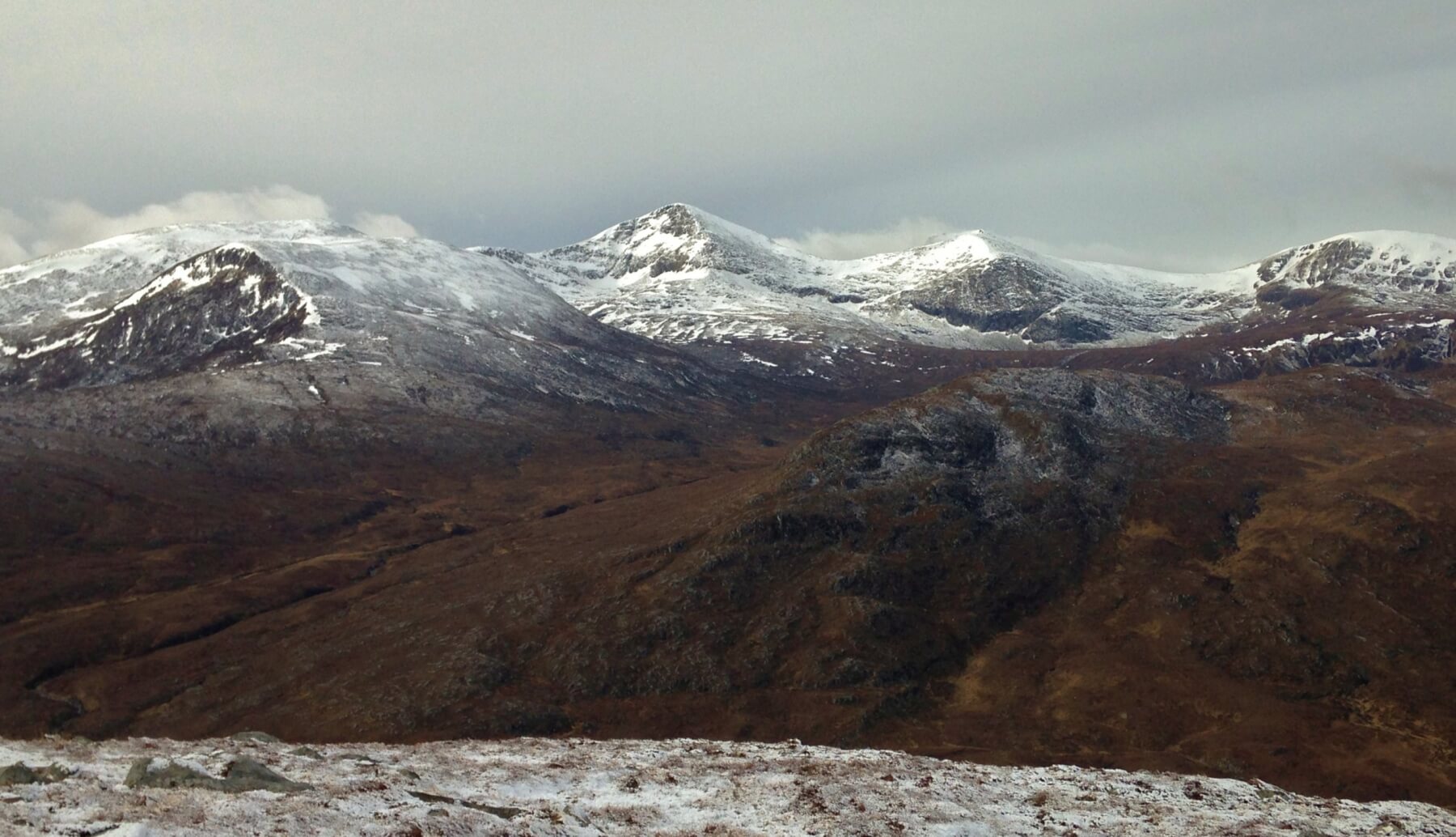 (Above) The Fannaichs first thing this morning. There is a dusting of recent snow on all aspects, some of which fell last night during a few remaining scattered showers. The new snowline this morning was around 450m. Thickening cloud was already moving in from the NW.
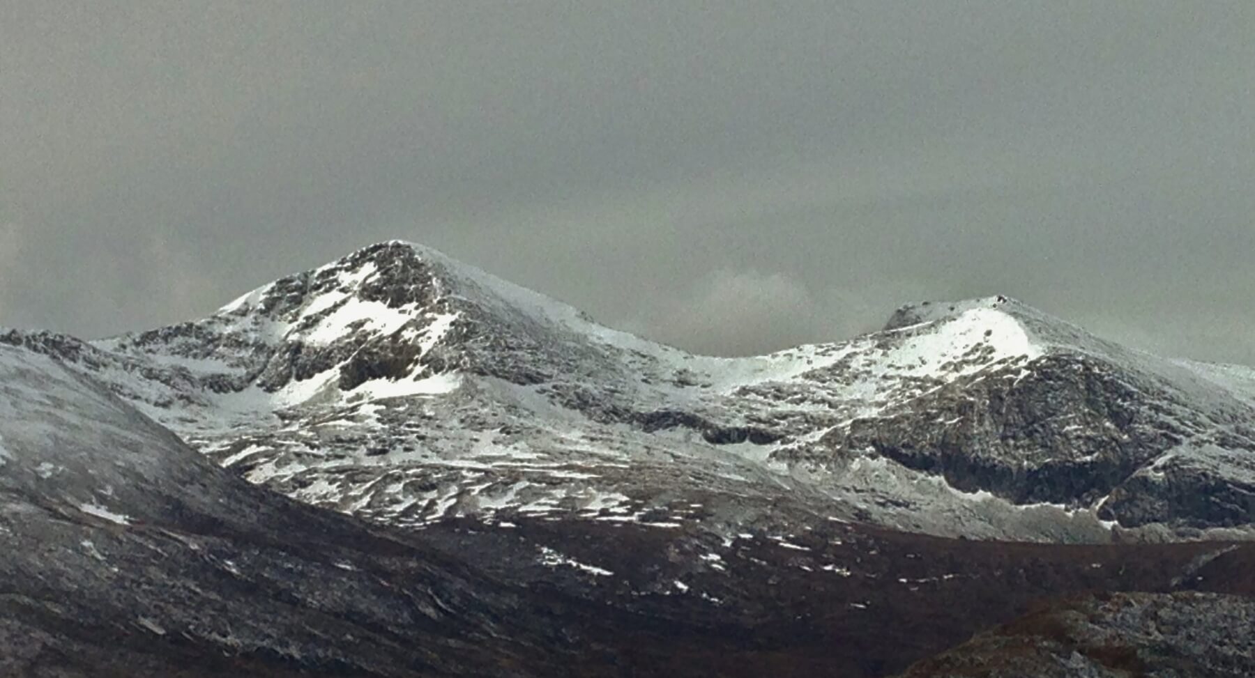 (Above) Sgurr Mor (left) and Carn na Criche. Some ice was forming on the upper crag of Carn na Criche which will quickly thaw as the freezing level is set to rise well above summits this afternoon and during tomorrow.
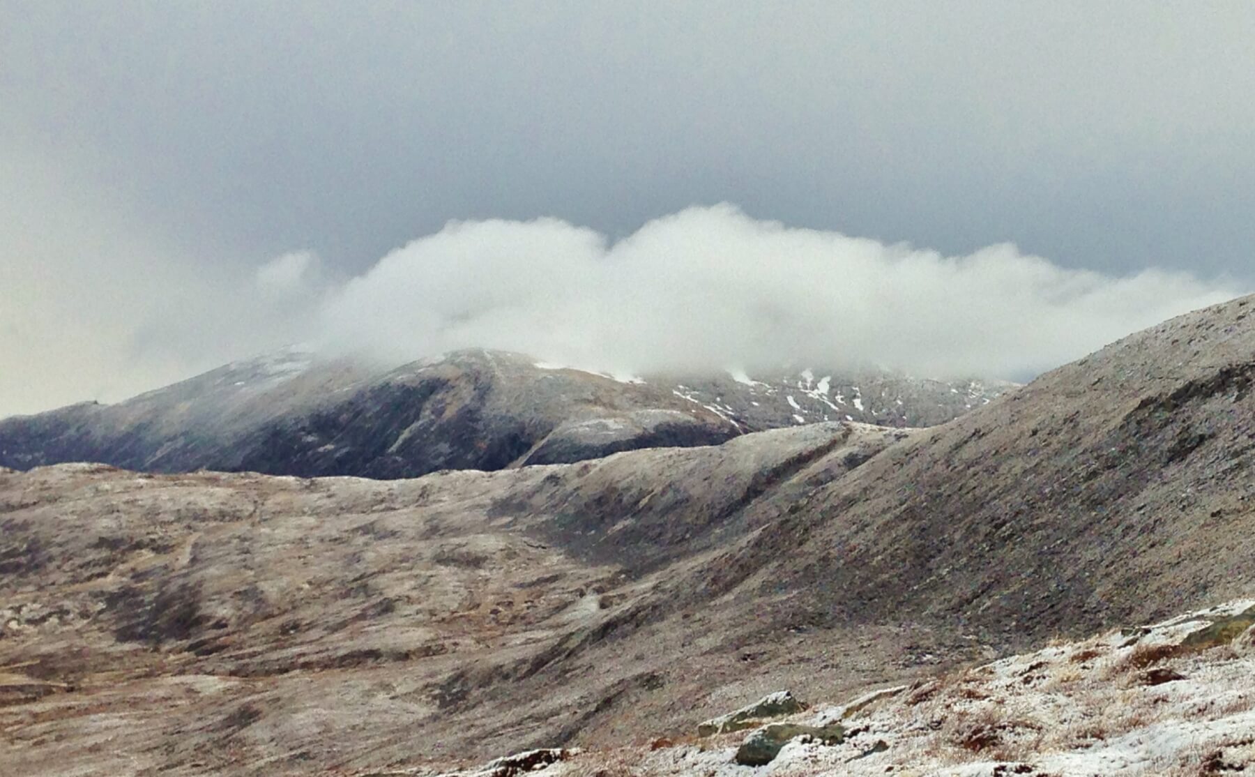 (Above) Summit cloud forming over Beinn Dearg ahead of the approaching front.
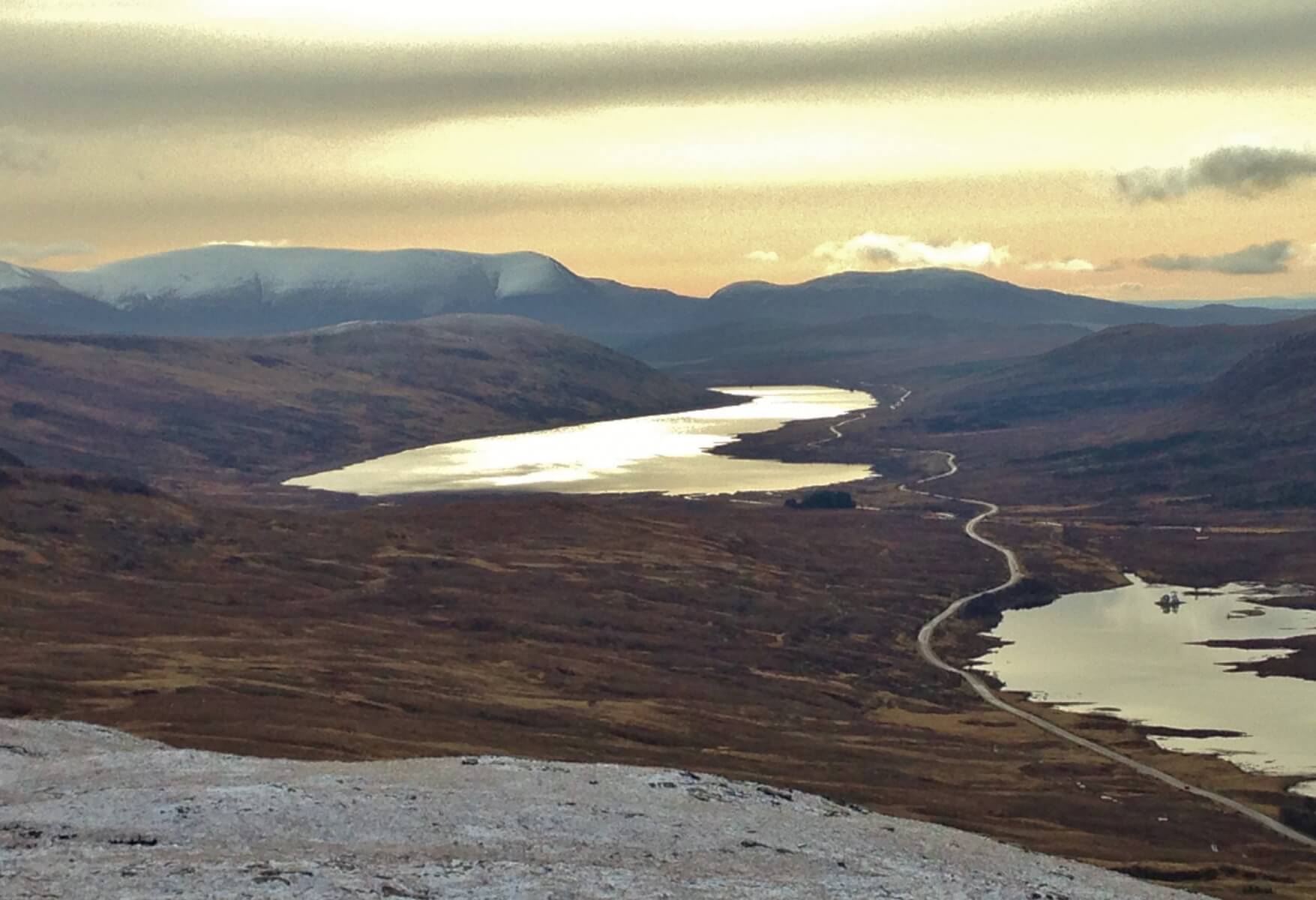 (Above) Some brightness in the east with the long summit ridge of Ben Wyvis in the background and Lochs Glascarnoch and Droma in the fore.
Comments on this post
Got something to say? Leave a comment


