Strong Wind, High Windchill
15th March 2022
A very windy day. Bright after light rain and summit snow cleared by mid morning. Clear summits exposed a light dusting of fresh snow above 600 metres initially, but the new snowline crept up the hill as the freezing level rose to around 750 metres by midday. The old snowpack is limited in distribution and is generally well bonded and stable throughout, refrozen at height and slowly thawing at lower elevations.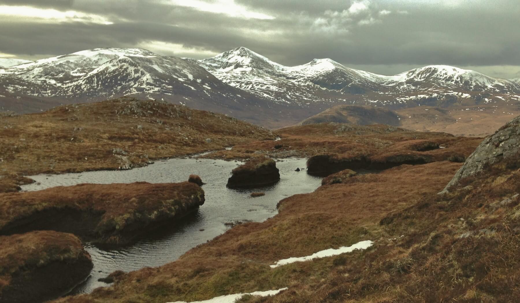 (Above) Peat hags at 600m. with the high Fannaich mountains in the background. Only shallow and isolated patches of old snow remain at 600m with most snow existing above 750m. on N through E to SE aspects.
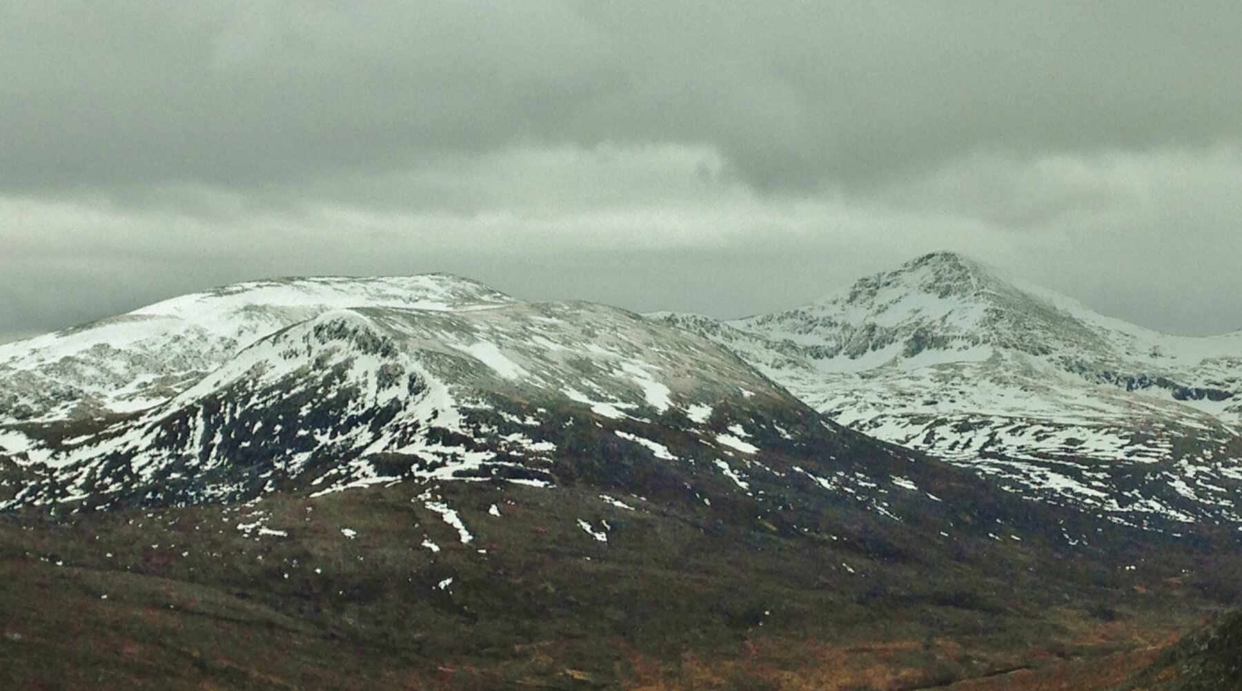 (Above) A light dusting of new snow is visible on the summits of Beinn Liath Mhor Fannaich and Sgurr Mor.
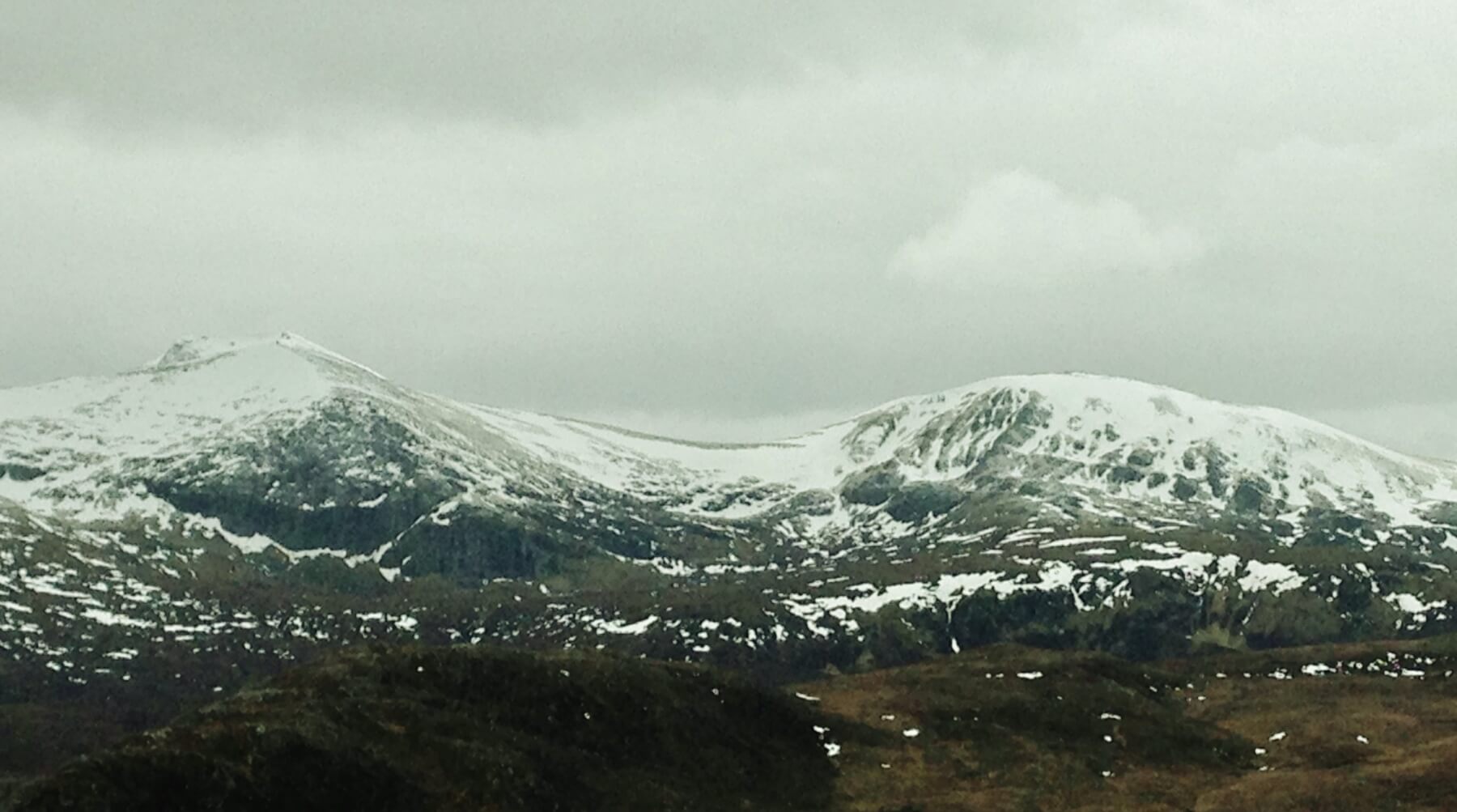 (Above) Looking onto the NE aspects of Carn na Criche and Meall a’ Chrasgaidh. The new snow line is around 700m.
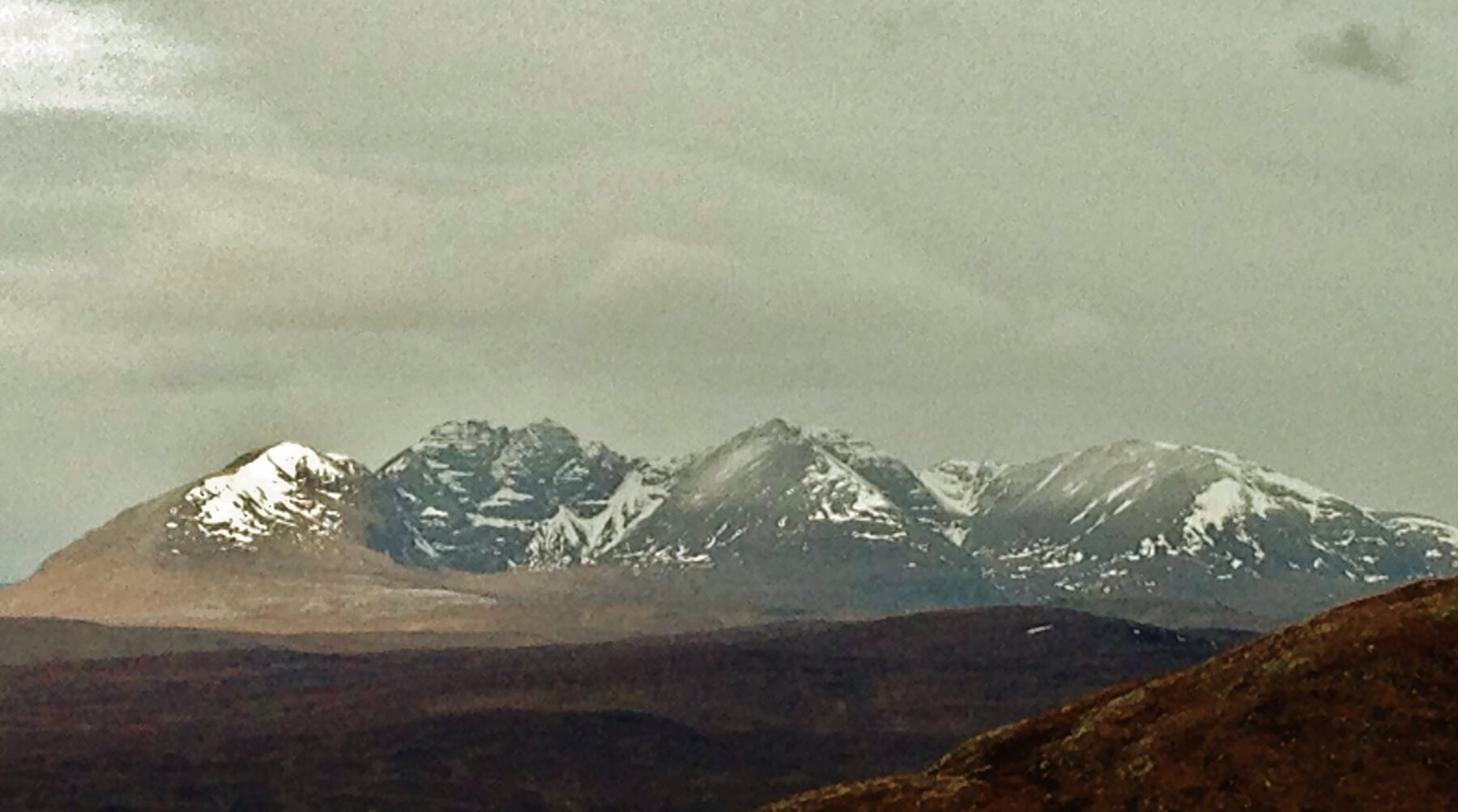 (Above) The eastern coires of An Teallach.
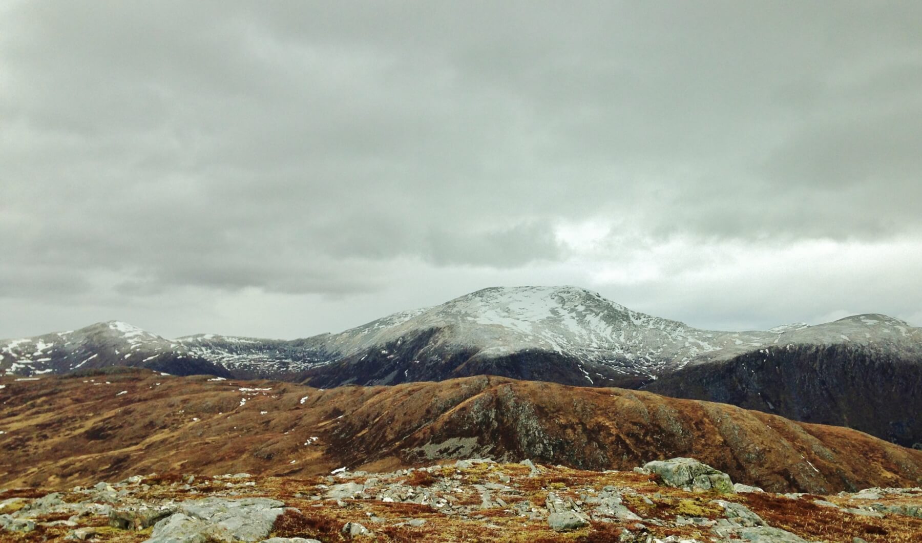 (Above) Looking onto the southern aspects of Beinn Dearg.
Comments on this post
Got something to say? Leave a comment


