Normal Service Resumed
3rd March 2022
Back to cloud and rain after two glorious days. However, high pressure is forecast to return to the North-West into the weekend. The snowpack was slowly thawing at all levels today, but remains well bonded and stable throughout.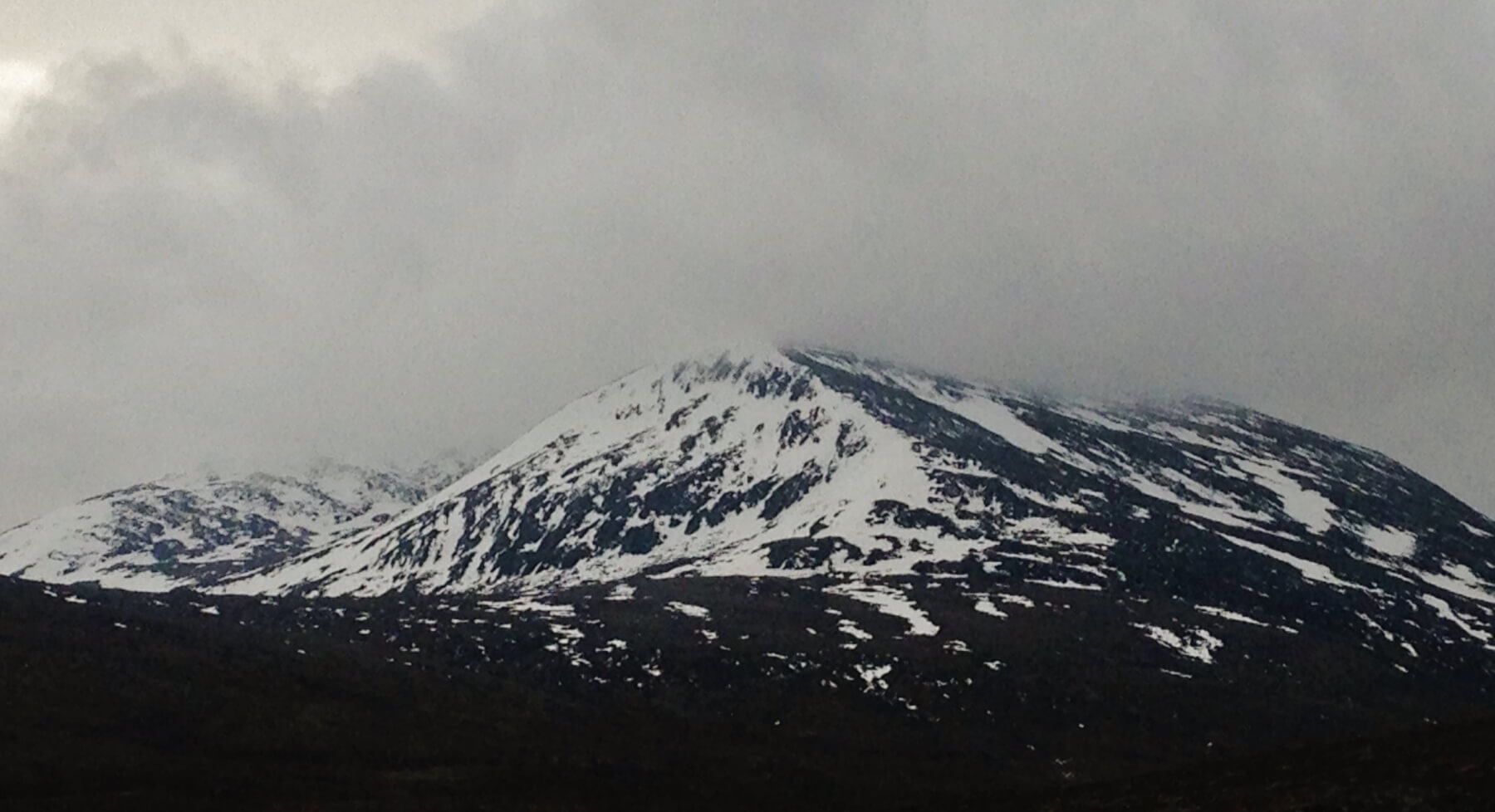 (Above) Beinn Liath Mhor Fannaich. Cloudy summits throughout the day. Most snow exists on North through East to South-East aspects above 700 metres, whilst snow on previously wind scoured West aspects is patchy at best.
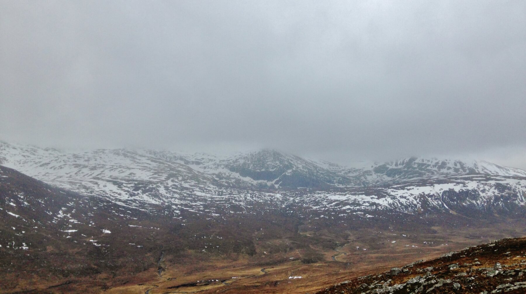 (Above) Of course it had to rain as I got to the observation site!
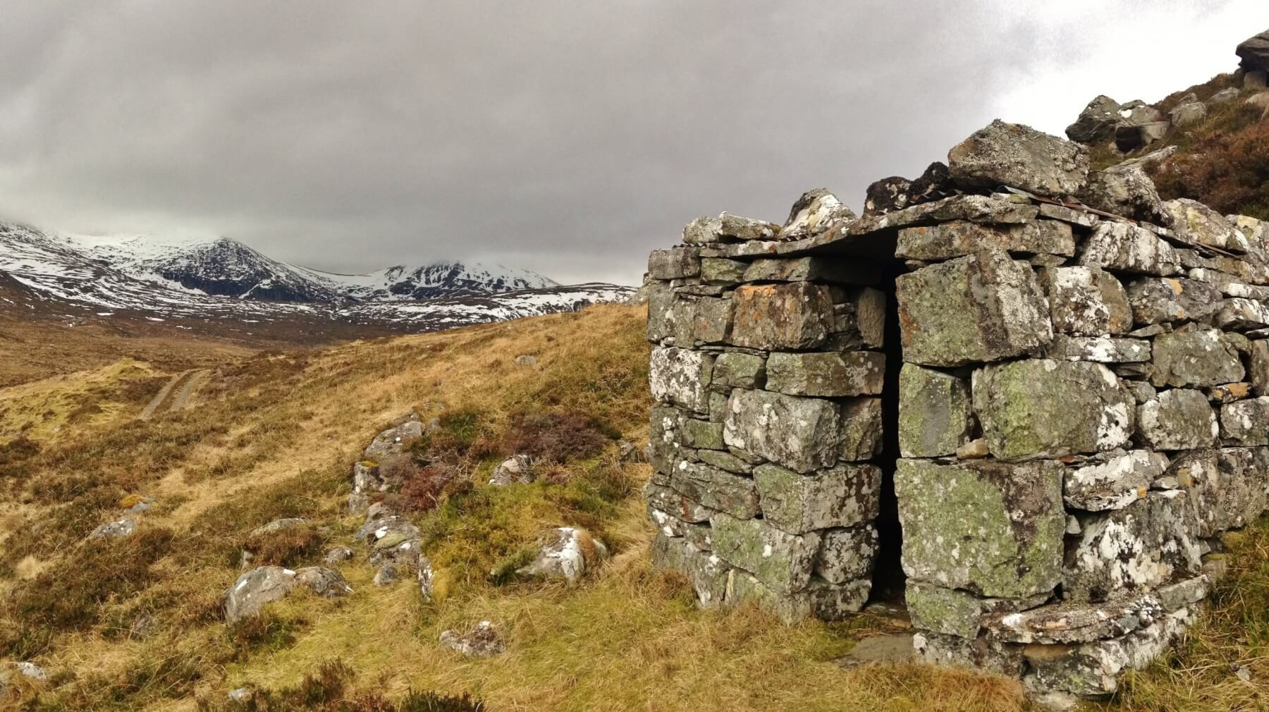 (Above) Howffs, or occasional shelters are common across much of the Highlands, especially so in the Fannaichs where stalker’s paths and drove roads lead through and over the mountain tops. These smaller howffs were used for a quick shelter or for safety if caught out in bad weather at higher elevations.
Comments on this post
Got something to say? Leave a comment


