Squally snow showers
9th February 2022
A cold and blustery day in the North West today. Â Squally snow showers in both Torridon and The Fannichs. Â Although new snow has fallen in both areas, it appears that the snow hasn’t gained much depth at higher elevations, preferring mid mountain level to settle. There are localised areas of moderately bonded windslab building throughout the area, mainly on steep wind sheltered locations.
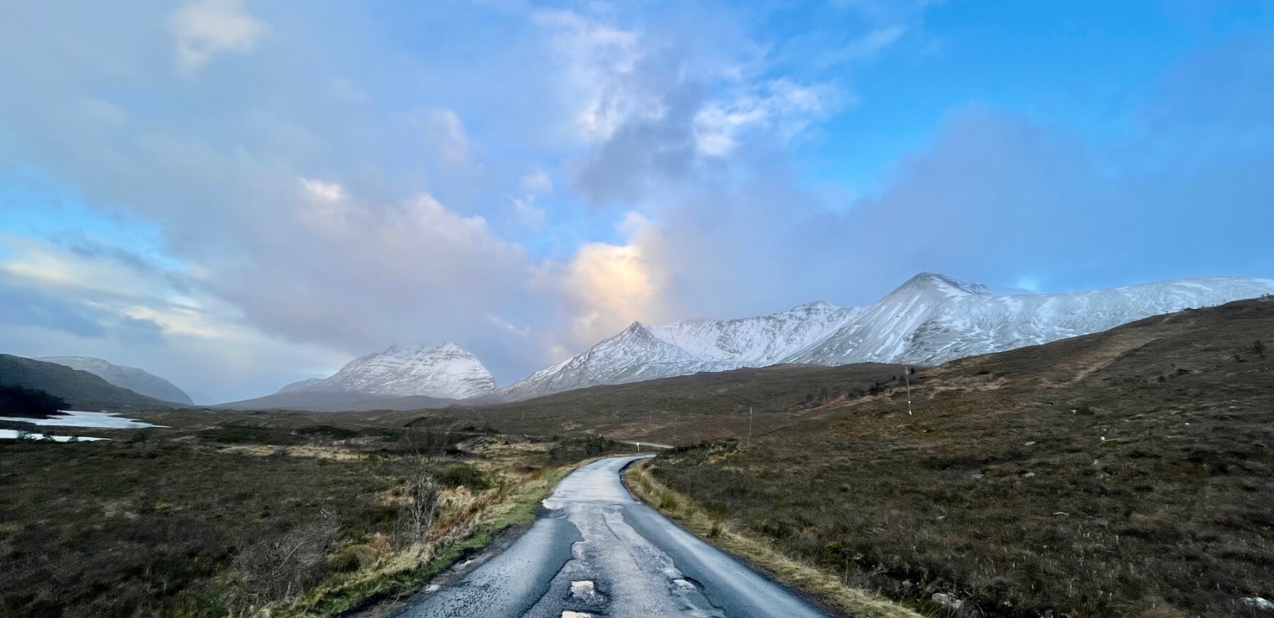
(Above) Always a nice drive to work. Â Liathach on the left and Beinn Eighe on the right from the A896.
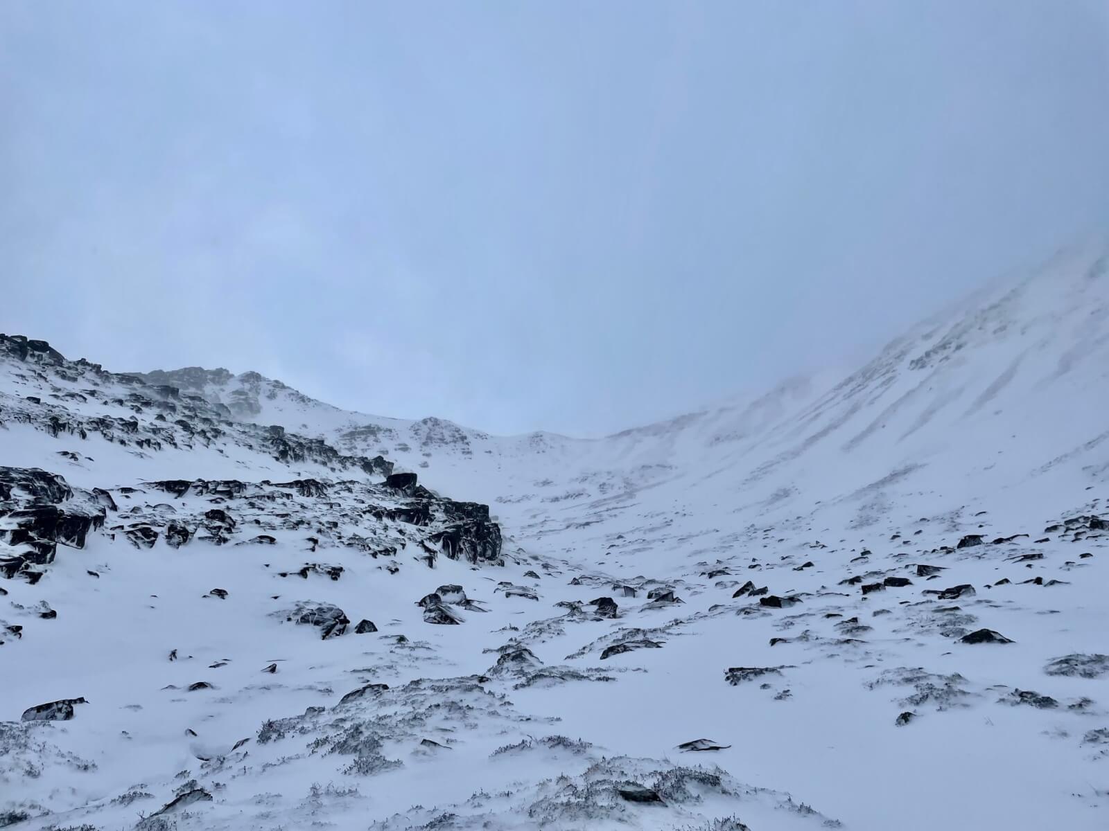
(Above) A blustery Coire an Laoigh. Â Winds were switching 180 degrees regularly today. Â Fresh snow overnight getting blown and older unconsolidated snow getting redistributed.
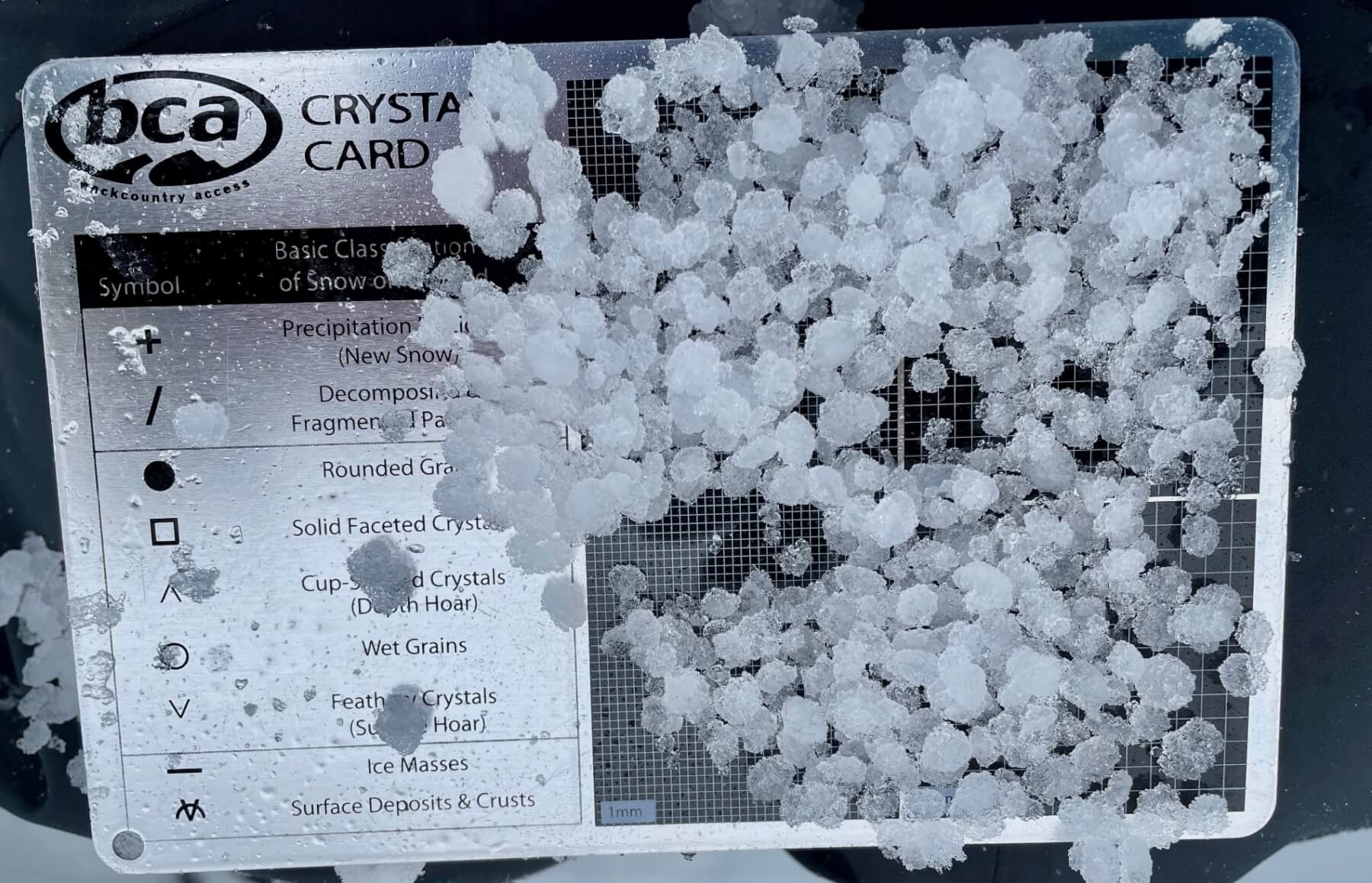
(Above)  My 3mm crystal card not big enough for these grains.  At the test site, this is a 10cm layer in the snow pack full of these.  This has now been bridged by a firmer layer above.
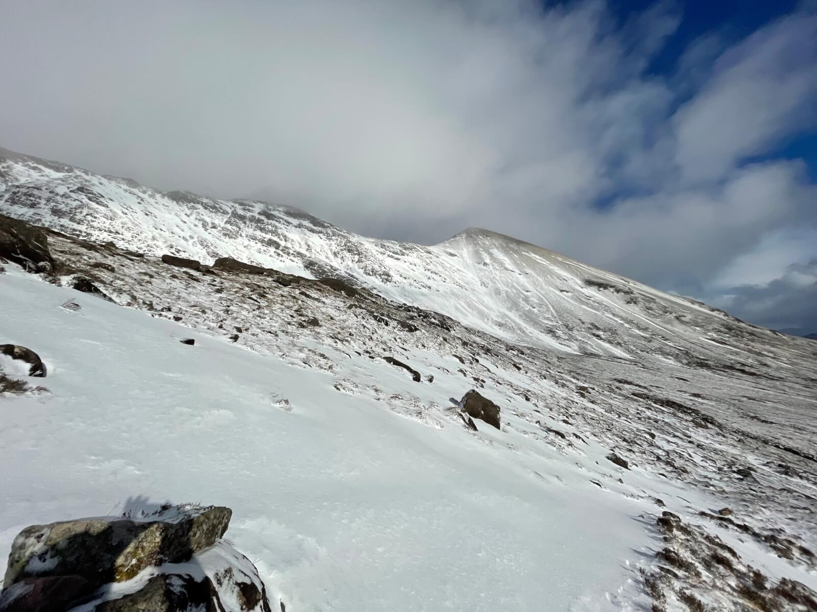
(Above) Looking towards Sgurr nan Fhir Duibhe (963m). Â Deeper drifts of snow around above 600 metres.
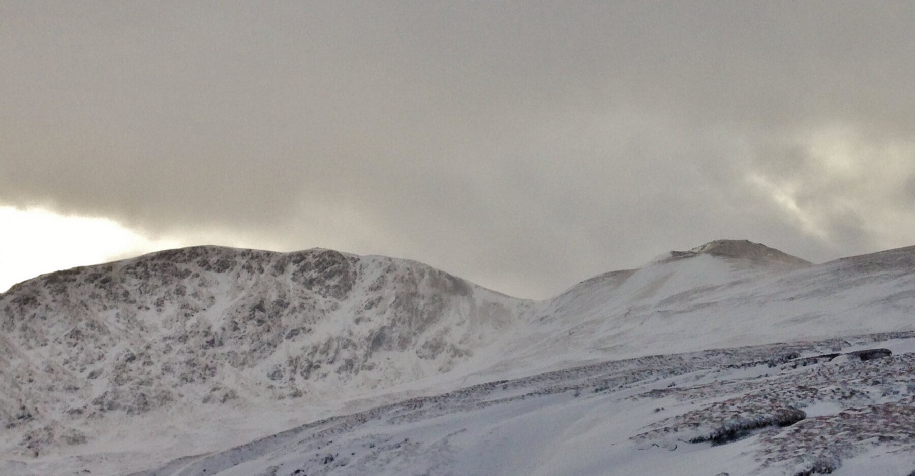
(Above) The more sheltered aspects of Sgurr Breac and Toman Coinnich. Pockets of windslab were building in wind sheltered locations on the East aspect of Druim Reidh on the right. However, much snow was being blown to lower elevations.
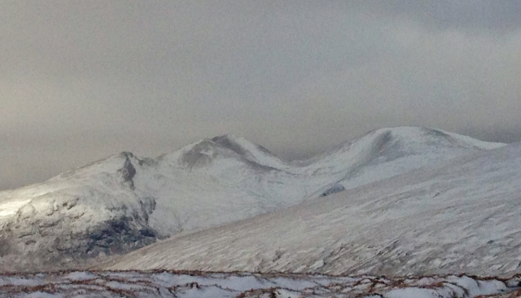
(Above) A windswept landscape in the Great Wilderness mountains of (L to R) Sgurr Dubh, Mullach Coire Mhic Fhearchair and Sgurr Ban.
Comments on this post
Got something to say? Leave a comment


