Baker’s half dozen of photos
8th February 2022
We seem to be travelling through numerous thaw-freeze cycles at the moment. Â Although its not much, it’s nice to see the hills looking more white than black. Â Tomorrow is another cold and windy one with snow showers throughout the day. Â With a low freezing level the hills will hopefully start to look even whiter tomorrow (but knowing our luck, the cloud will be down and we will miss it). Â Windslab will start to form on North East to South East aspects above 700 metres – more specific information on the Avalanche Hazard Report.
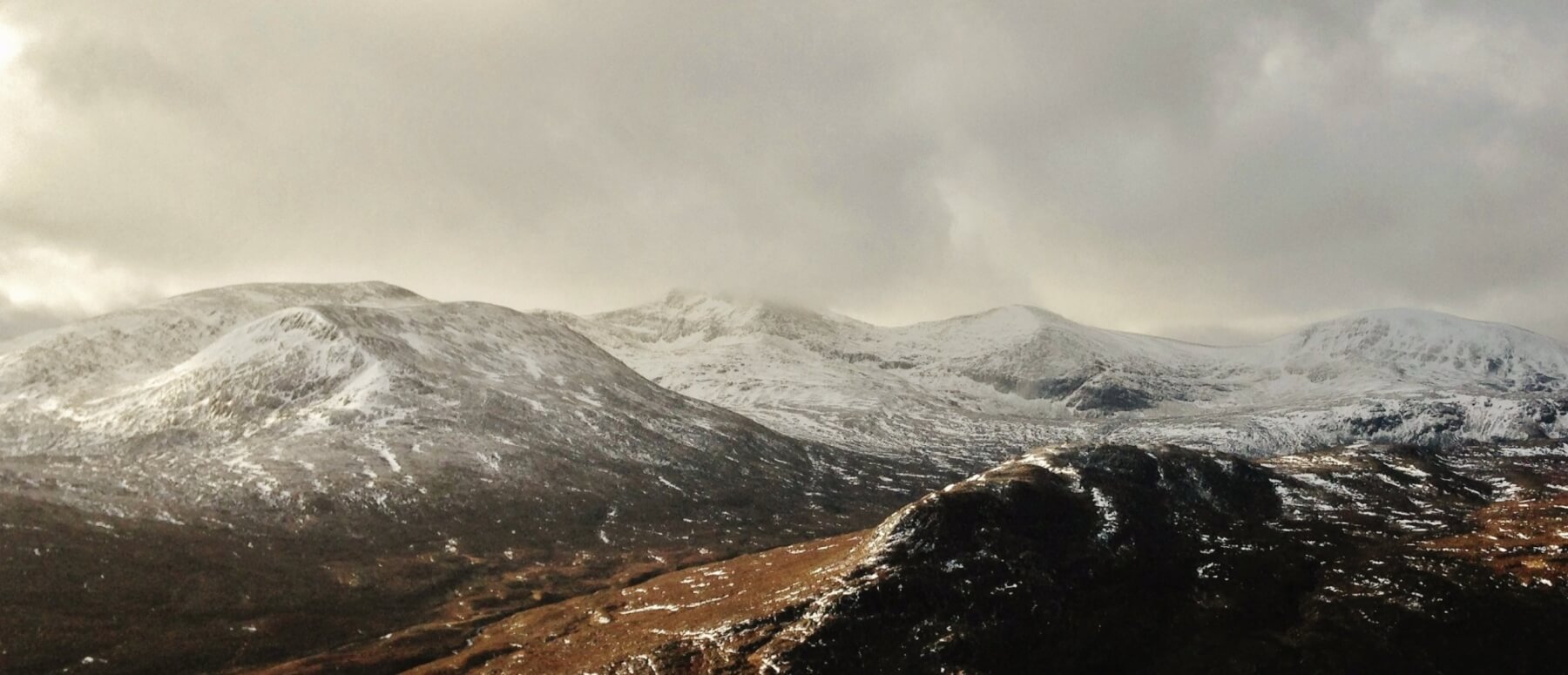
(Above) Snow distribution in the main Fannaich mountains. Left to right; Beinn Liath Mhor Fannaich (954m), Sgurr Mor (1110m) with cloud covered summit, Carn na Criche (961m) and Meall a’ Chrasgaidh (934m). There is a dusting fresh snow with the new snowline around 550m.
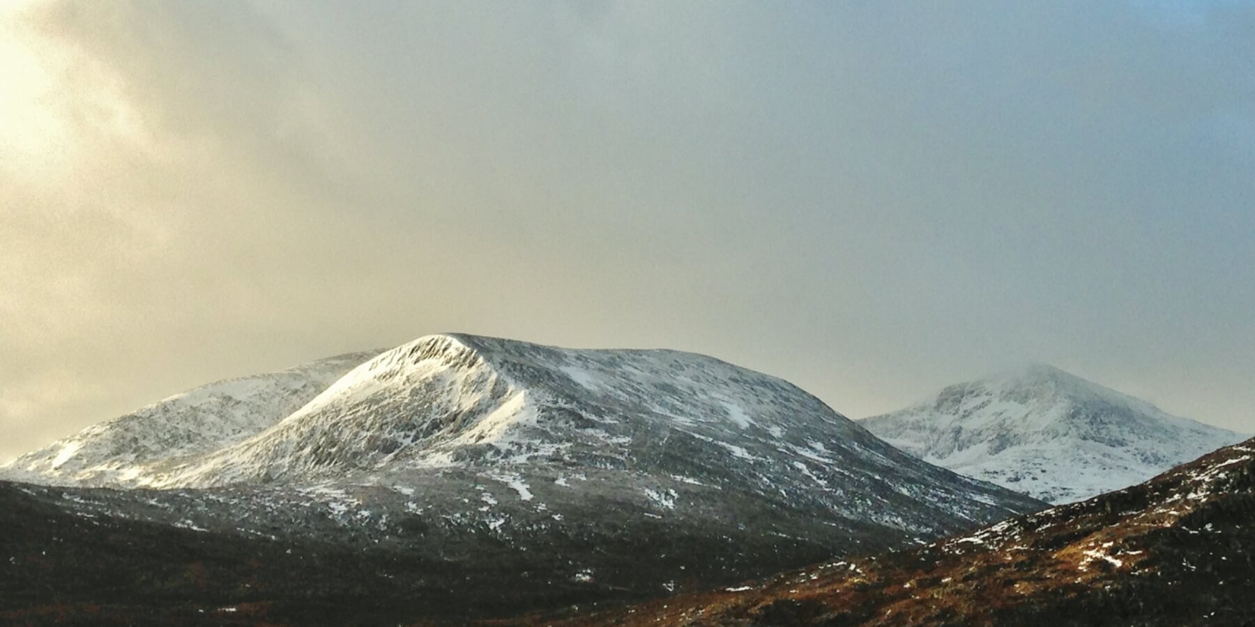
(Above) Beinn Liath Mhor Fannaich north top (around 850m) and Sgurr Mor on the right. Most existing refrozen snow lies on NE to SE aspects and isolated shallow pockets of new windslab is building in similar locations.

(Above) Snow distribution on NE aspect of a lower lying hill (summit at 712m) with previously wind exposed scoured terrain now bare of snow due to yesterday’s thaw.
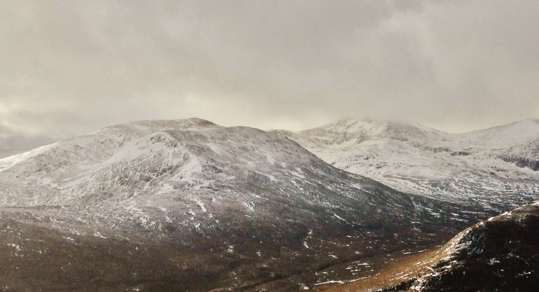
(Above) Current snow distribution on Beinn Liath Mhor Fannaich, Sgurr Mor and Carn na Criche.
(Above) Creag Dhubh showing snow coverage on North – East aspects.
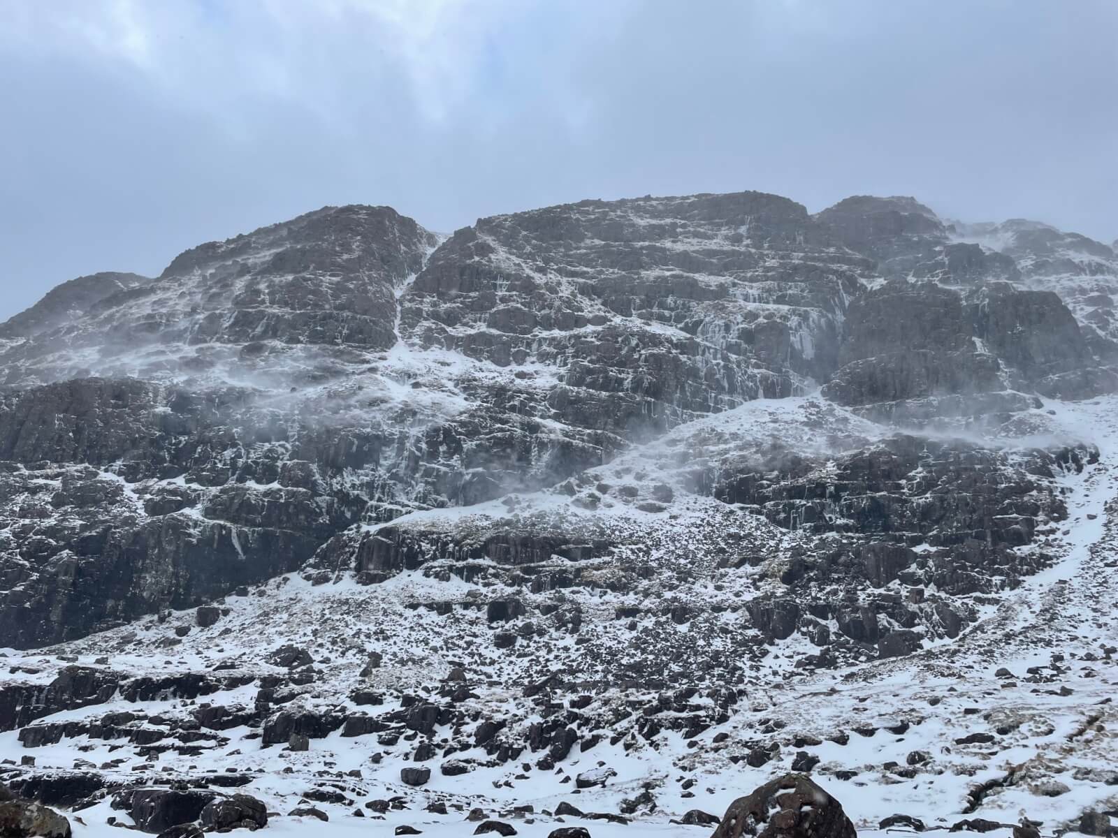
(Above) Coireag Dubh Beag with some fairly feisty spindrift.
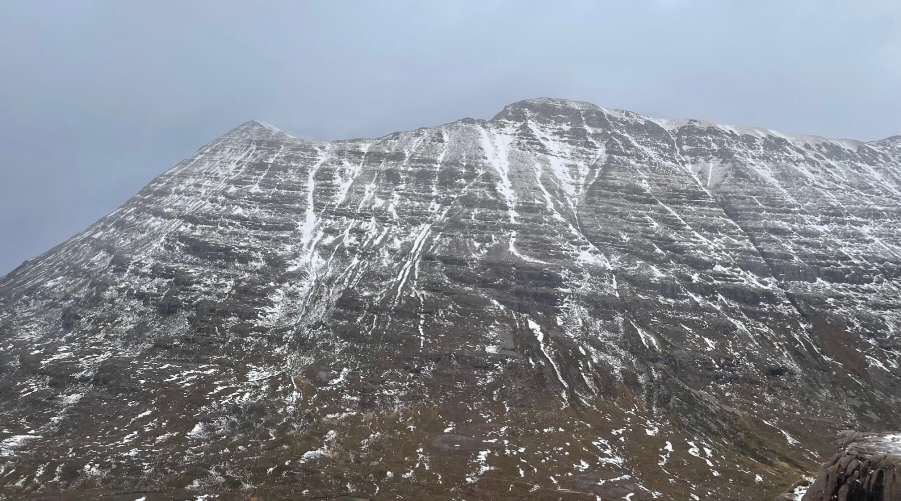
(Above) The Western end of Beinn Eighe showing Sail Mhor (980m) on the left) and Coinneach Mhor (976m) in the centre.
Comments on this post
Got something to say? Leave a comment


