Overcast, Rain Later.
18th January 2022
After a bright start today, cloud bases lowered onto the summits mid morning, ahead of light rain by early afternoon. Strong winds at height persisted through the day. There is little change in the patchy and depleted snowpack with a slow thaw at all levels and remaining snow is consolidated and stable throughout. Colder through the day tomorrow with overnight rain turning wintry as the freezing level lowers to 400m by the end of the day. Snow amounts will be small.
Below are a few landscape photos showing the current limited snow distribution on some of the northern Fannaich mountains.
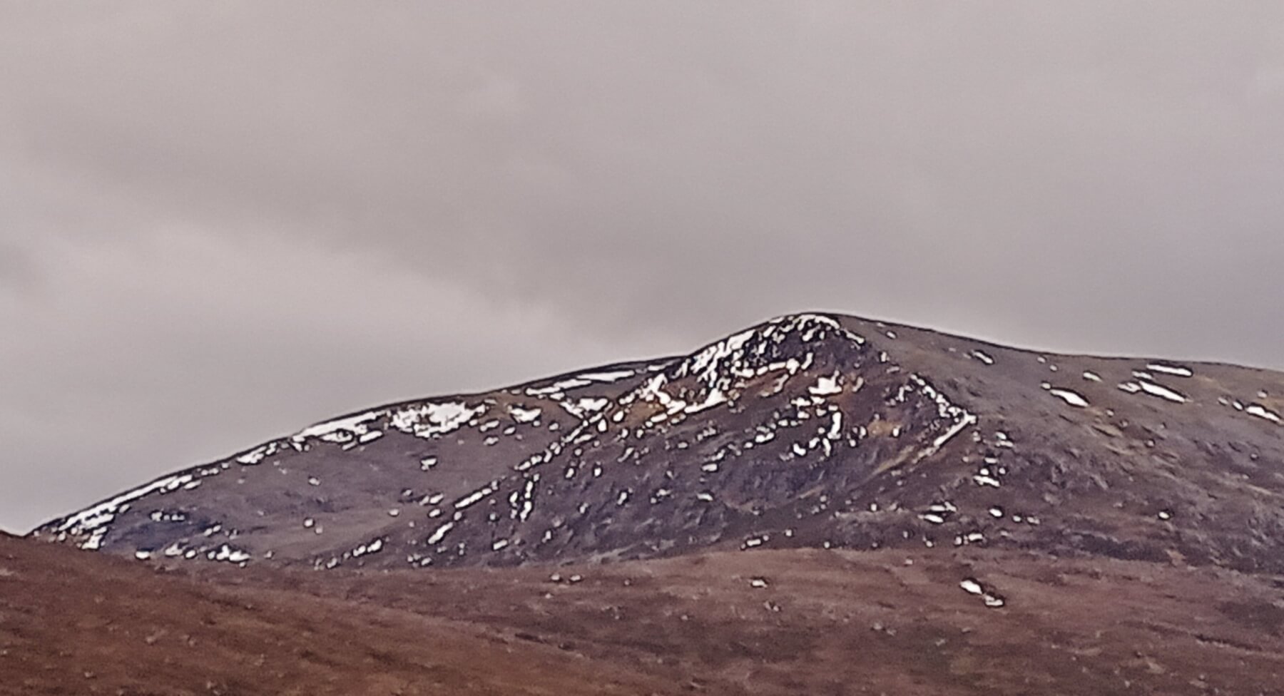
(Above) NE aspects of Beinn Liath Mhor Fannaich (954m). The North Top (830m) is in the foreground
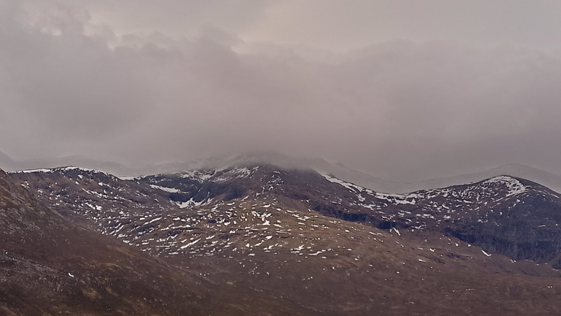
(Above) NE aspects of Sgurr Mor (1110m) and Carn na Criche (961m). Cloud descended onto the summit of Sgurr Mor by mid morning.
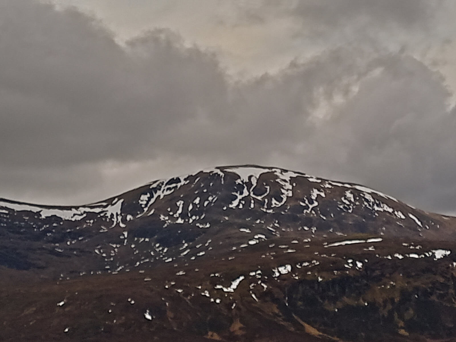
(Above) NE aspect of Meall a’ Chrasgaidh (934m).
Comments on this post
Got something to say? Leave a comment


Judith Hill
19th January 2022 11:09 am
Many thanks for these updates, very useful
Judith
torridonadmin
19th January 2022 2:22 pm
Thanks Judith. The photos say it all as regards current snow distributions…!