Depleted Snowpack – Again!
12th January 2022
It remains unseasonably mild with a thawing snowpack at all levels. The snow cover is becoming patchy, particularly at lower elevations and on previously wind exposed scoured terrain. Most snow exists above 800m, mainly on North to East aspects where it gains depth on ridge flanks, round coire rims and in gullies and runnels. Although the snowpack is generally soft and wet, it has good stability throughout. Little change expected tomorrow.
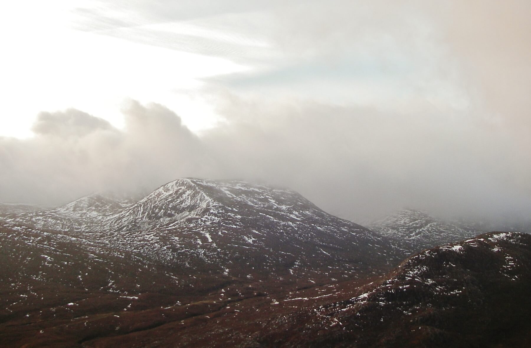
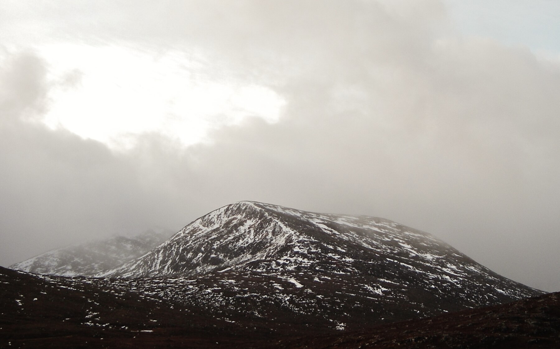
(Below 2 photos) A fragmented snow cover in the northern Fannaich mountains.
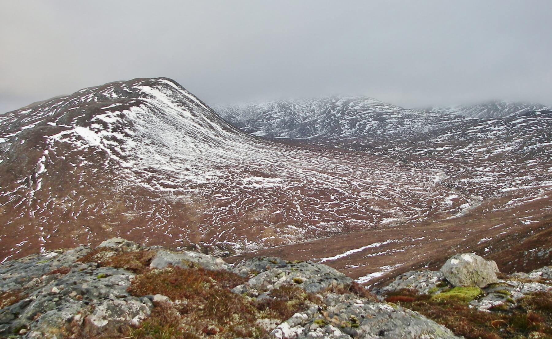
(Below) Looking onto a NE aspect on the foreground hill, with a 700m summit. The cloud base fluctuated around 700 to 800 metres today. The ground at lower levels is unfrozen and wet – again. And the burns are full with melt water – again.
Comments on this post
Got something to say? Leave a comment


