Murky in the Fannaichs
2nd April 2021
Covid -19
The Scottish Avalanche Information Service issues information to support permitted activity under current Scottish Government guidance.
Please be aware of current mandatory travel restrictions in Local Authority areas within Scotland and respect local communities by referring to Scottish Government guidance and safe route choices for exercise. For further guidance please refer to the following information for hillwalkers and climbers and snowsports on ski and board.
This blog is intended to provide hazard and mountain condition information to help plan safer mountain trips.
Mist and patchy drizzle was the theme for the day and more so on the mountains closest to the coast. It did brighten up in the afternoon. The photos below are typical of the current snow distribution in the North West. The limited snowpack is consolidated and stable throughout, slowly thawing at all levels after a cold start to the day.
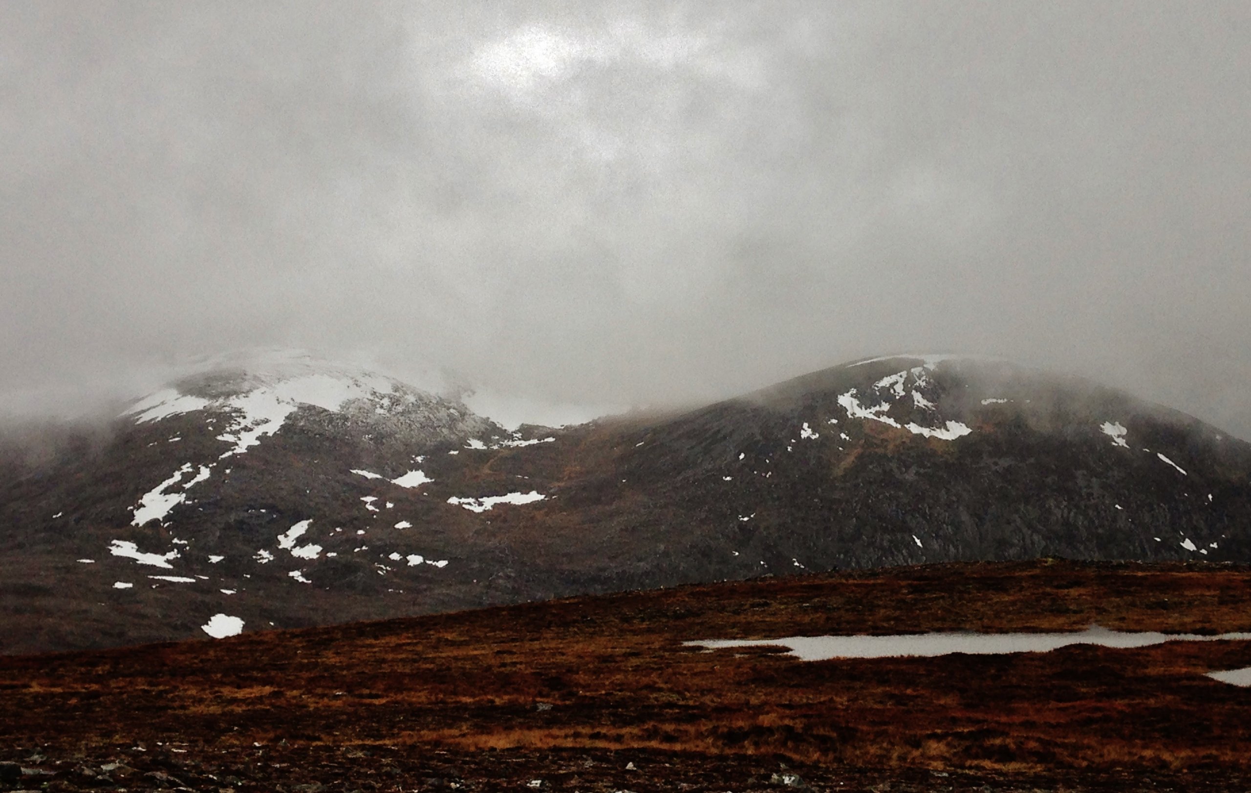
(Above) Summit clag on Beinn Liath Mhor Fannaich with the main top (954m) hidden on the left and the north top (820m) on the right. Some evidence of the more recent snow remaining above 800m, but thawing and very shallow.

(Above) Looking from the summit of Beinn Liath Bheag (665m) to Meall Gorm (949m on the right) and An Coileachan (923m) at the southern end of the Fannaich range. Most snow seen in the photo is the patchy remains of the old snowpack.
Comments on this post
Got something to say? Leave a comment


