Hill Fog and Drizzle
18th March 2021
Covid -19
The Scottish Avalanche Information Service issues information to support permitted activity under current Scottish Government guidance.
Please be aware of current mandatory travel restrictions in Local Authority areas within Scotland and respect local communities by referring to Scottish Government guidance and safe route choices for exercise. For further guidance please refer to the following information for hillwalkers and climbers and snowsports on ski and board.
This blog is intended to provide hazard and mountain condition information to help plan safer mountain trips.
With high pressure currently centred west of Ireland, the airflow that influences the weather in the NW of Scotland is very moist and relatively warm, producing mild temperatures, plenty of low cloud and drizzle over our mountains, which in turn means a moist and thawing snowpack at all levels. I clung to the notion that I may rise above the mist by going high on the mountain, but quickly gave up on that idea after getting soaked in heavy drizzle in the first 15 minutes!
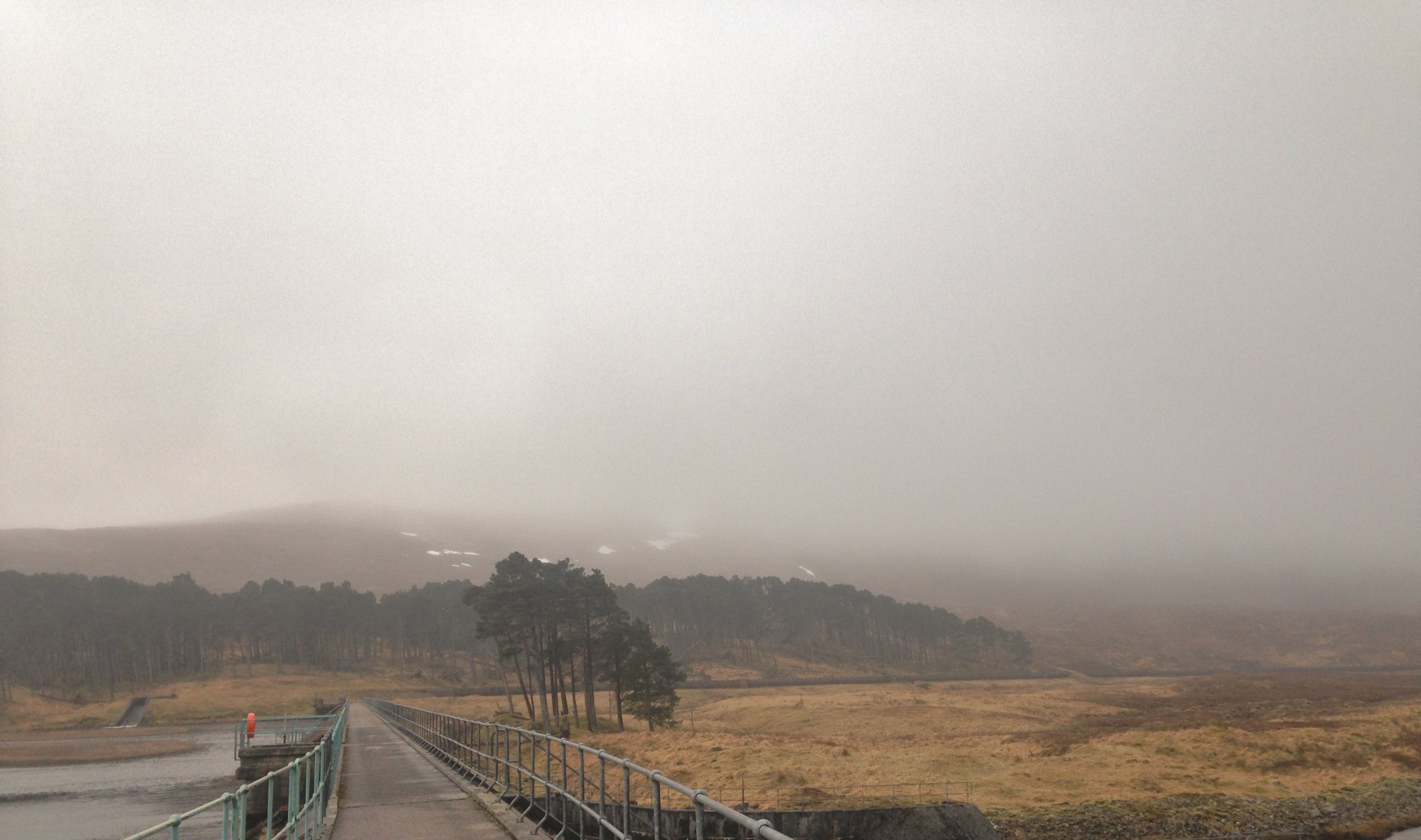
(Above) As good as it got in the Fannaichs today. During a brighter interlude, the cloud base rose to 450m. to reveal some lingering snow patches on Beinn Liath Bheag at the NE end of the Torridon forecast area.
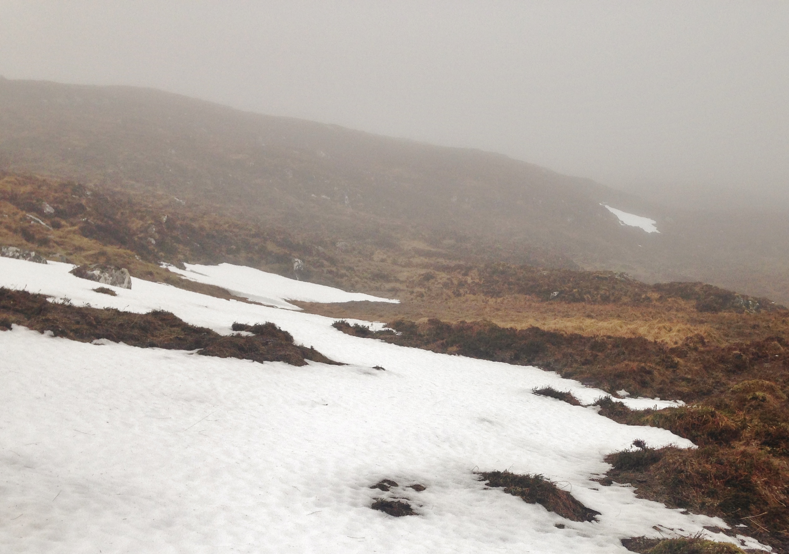
(Above) Although thawing with a soft wet surface, old snow patches remain relatively firm underfoot.
Comments on this post
Got something to say? Leave a comment


