Stormy and Thawing
16th February 2021
Covid -19
The Scottish Avalanche Information Service issues information to support permitted activity under current Scottish Government guidance.
Please be aware of current mandatory travel restrictions in Local Authority areas within Scotland and respect local communities by referring to Scottish Government guidance and safe route choices for exercise. For further guidance please refer to the following information for hillwalkers and climbers and snowsports on ski and board.
This blog is intended to provide hazard and mountain condition information to help plan safer mountain trips.
A modified plan for the hill today due mainly to storm force winds (94mph gust recorded at 770m this morning) and driving rain during heavy blustery showers. Rain at all levels first thing, but expected to turn wintry at Munro level later as the freezing level lowers. Wet and thawing snowpack generally, much depleted at lower levels.
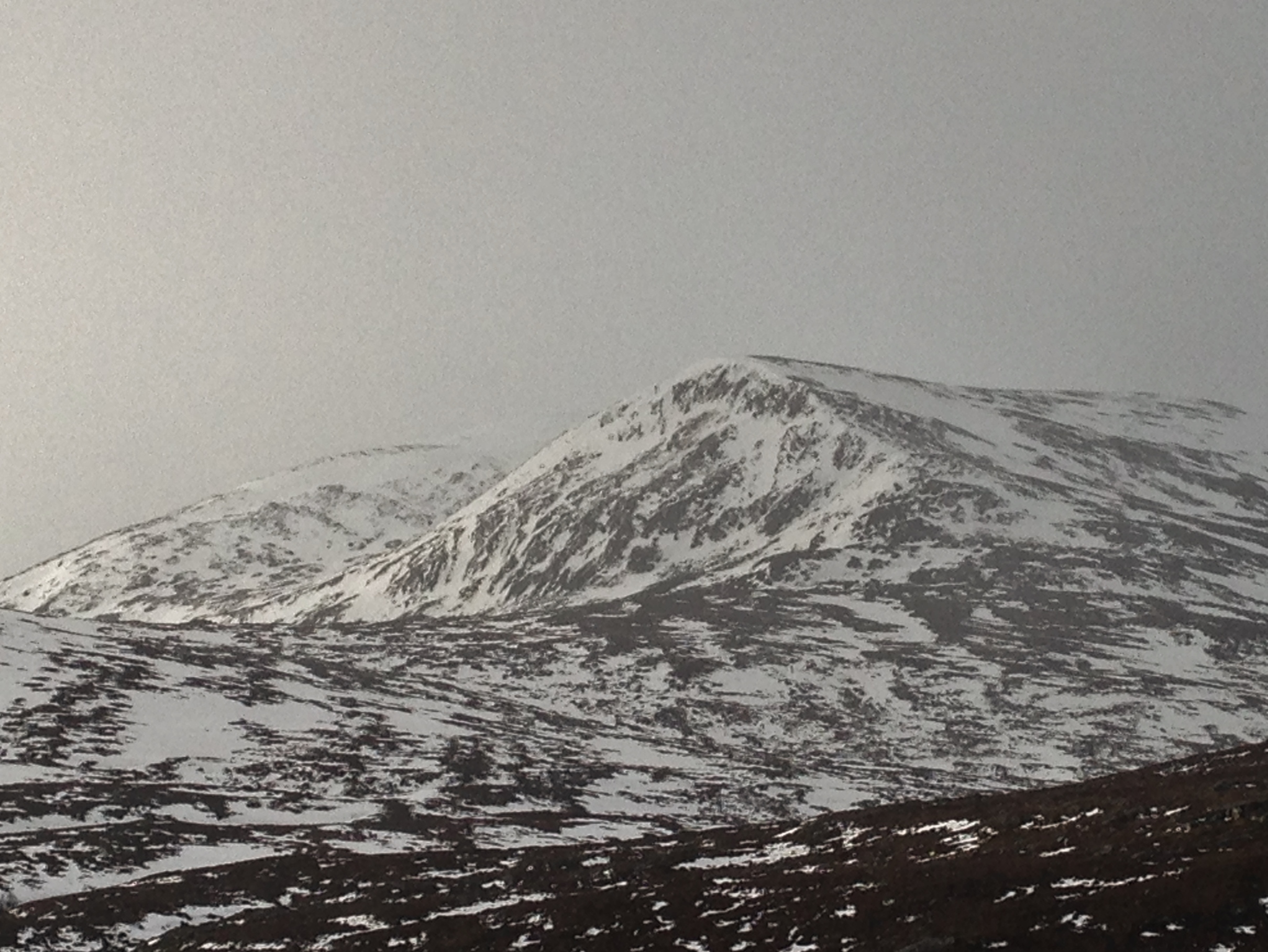
(Above) Beinn Liath Mhor Fannaich this morning. Between showers there was good visibility. Note the snow free ground on the north top at 850m. elevation.
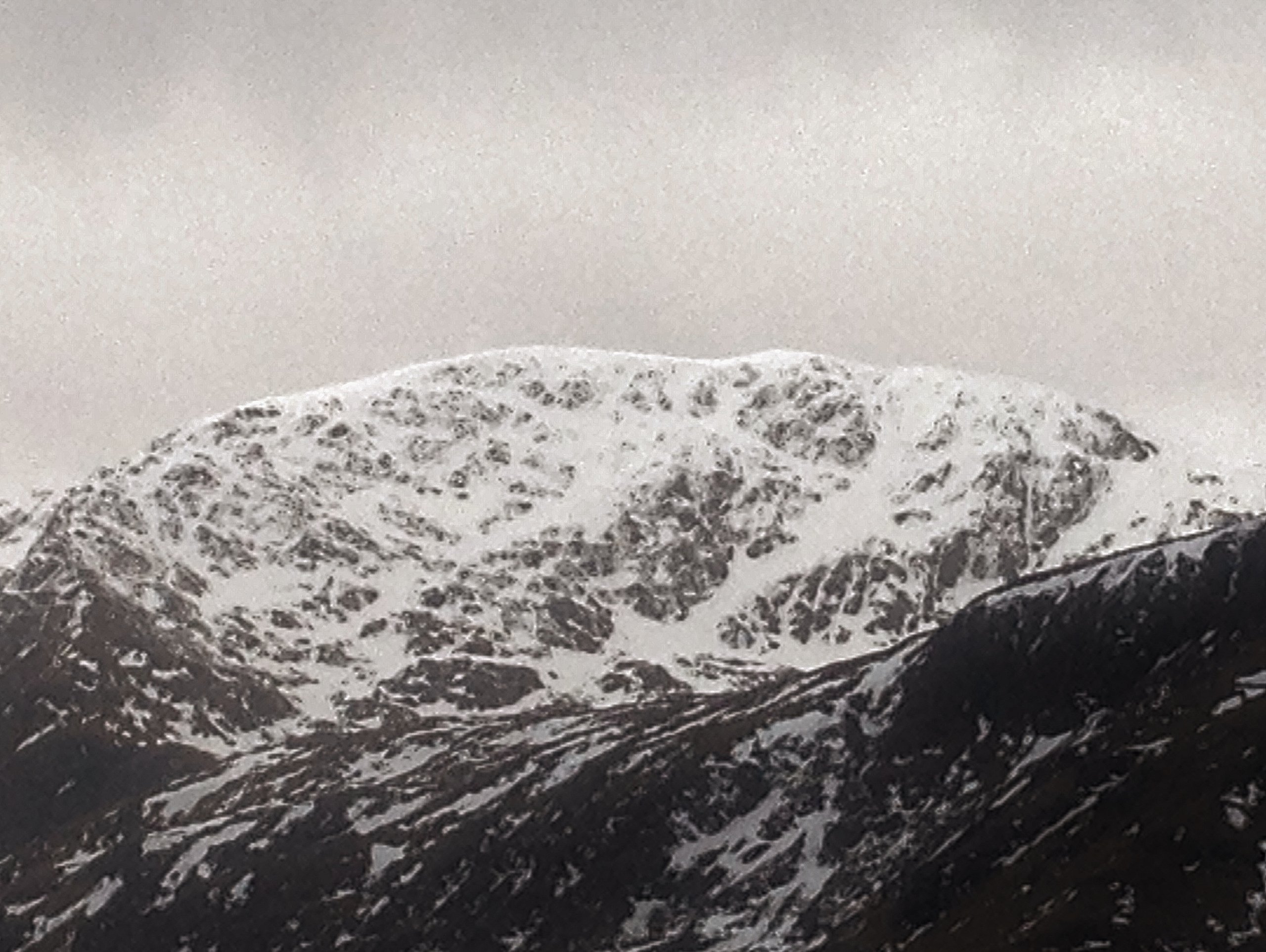
(Above) Sgurr Breac; northerly aspects. No new snow observed at summit level by late morning. The snowpack is consolidating and is generally stable. Accumulations of fresh windslab are expected later, on sheltered NW to NE aspects at higher elevations.
Comments on this post
Got something to say? Leave a comment


