Grey and driech
9th January 2021
Covid -19
The Scottish Avalanche Information Service issues information to support permitted activity under current Scottish Government guidance.
Please be aware of current mandatory travel restrictions in Local Authority areas within Scotland and respect local communities by referring to Scottish Government guidance and safe route choices for exercise.
This blog is intended to provide hazard and mountain condition information to help plan safer mountain trips.
We have a thaw at present with the freezing level lowering later so we can expect some refreezing of the existing wet snow pack tonight. This evening moderate showers of snow are expected with strong West to West-South-West winds so some wind slab will form on wind sheltered aspects. By the morning the freezing level rises to above summit levels, so showers will turn to rain and sleet so we have quite a complex picture forming with wet snow instabilities likely.
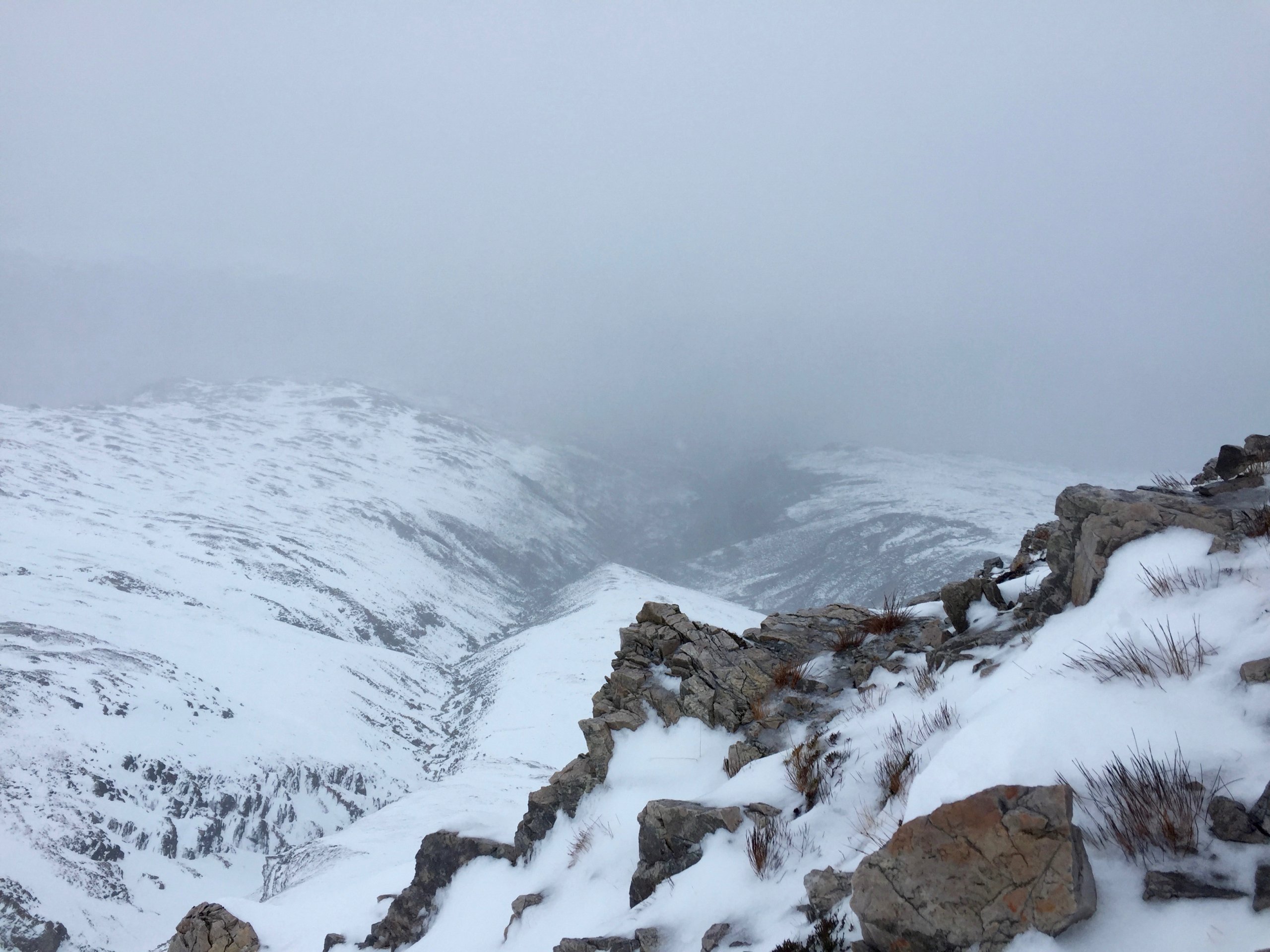
View down the glen.
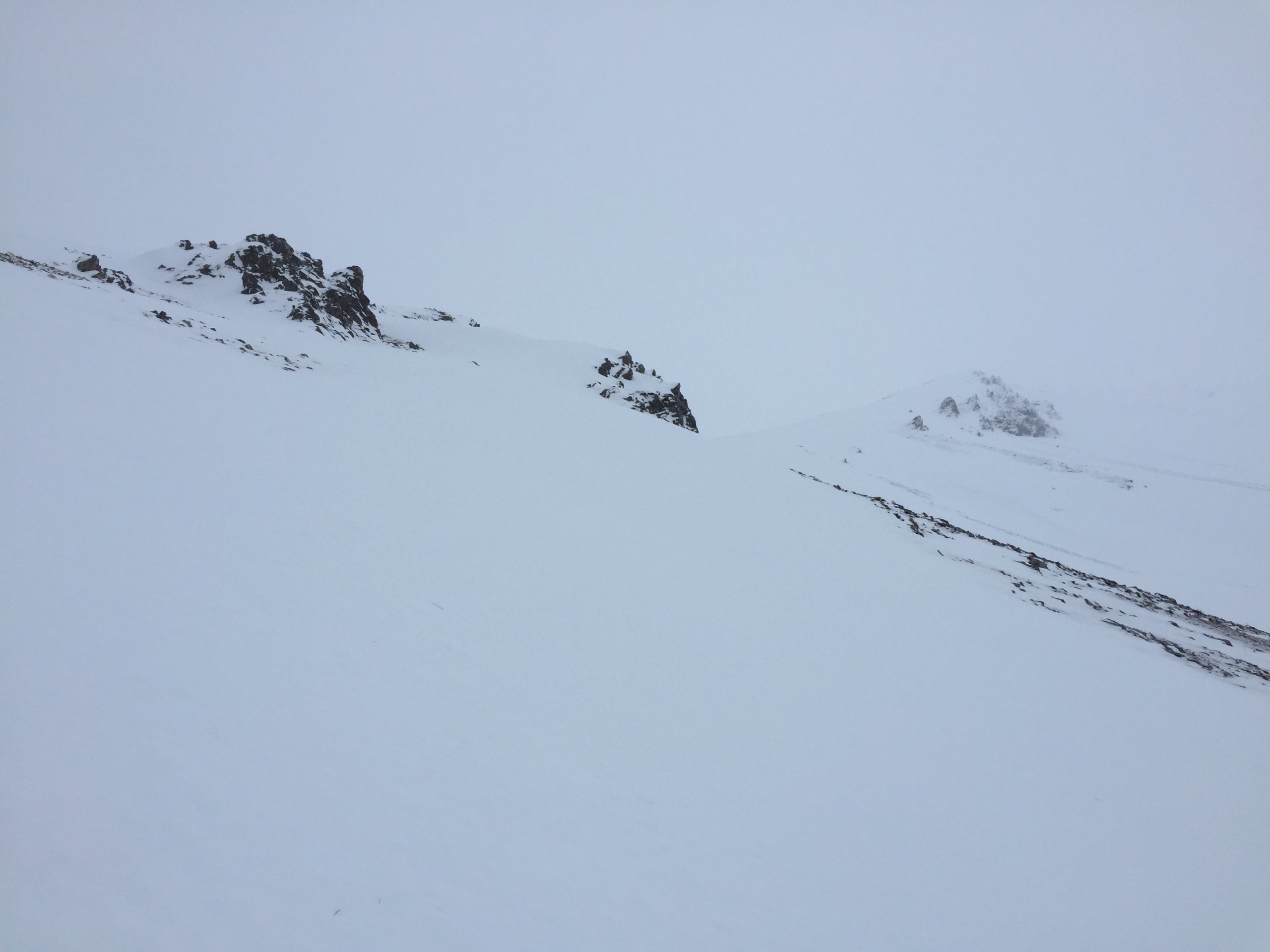
Summit view.

Wet snow pack and a depletion of snow at lower levels.
Comments on this post
Got something to say? Leave a comment


