Cold East Wind
27th January 2021
Covid -19
The Scottish Avalanche Information Service issues information to support permitted activity under current Scottish Government guidance.
Please be aware of current mandatory travel restrictions in Local Authority areas within Scotland and respect local communities by referring to Scottish Government guidance and safe route choices for exercise. For further guidance please refer to the following information for hillwalkers and climbers and snowsports on ski and board.
This blog is intended to provide hazard and mountain condition information to help plan safer mountain trips.
Another cold day with a fresh East wind ensuring a high wind chill. There remains good snow cover in the North West mountains, but that pesky breakable crust is persisting at lower levels and at higher elevations, the wind packed snow is barely weight bearing! Despite a dry bright day today, recent snow redistribution continues, with localised moderately bonded windslab accumulating in steep sheltered South through West to North aspects, mainly above 800 metres. Exposed areas of refrozen old snow are very firm and icy.
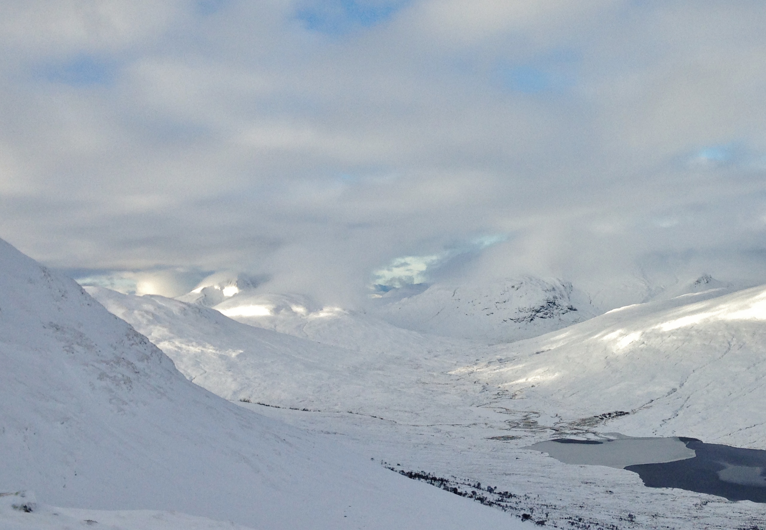
(Above) Looking South-West to sunlit slopes of Slioch in the background. Good sunny spells developing more widely in the afternoon.

(Above) Easterly aspects of A’ Chaileach are now windward aspects and are generally slowly consolidating. Wind eroded cornices are visible on the skyline.
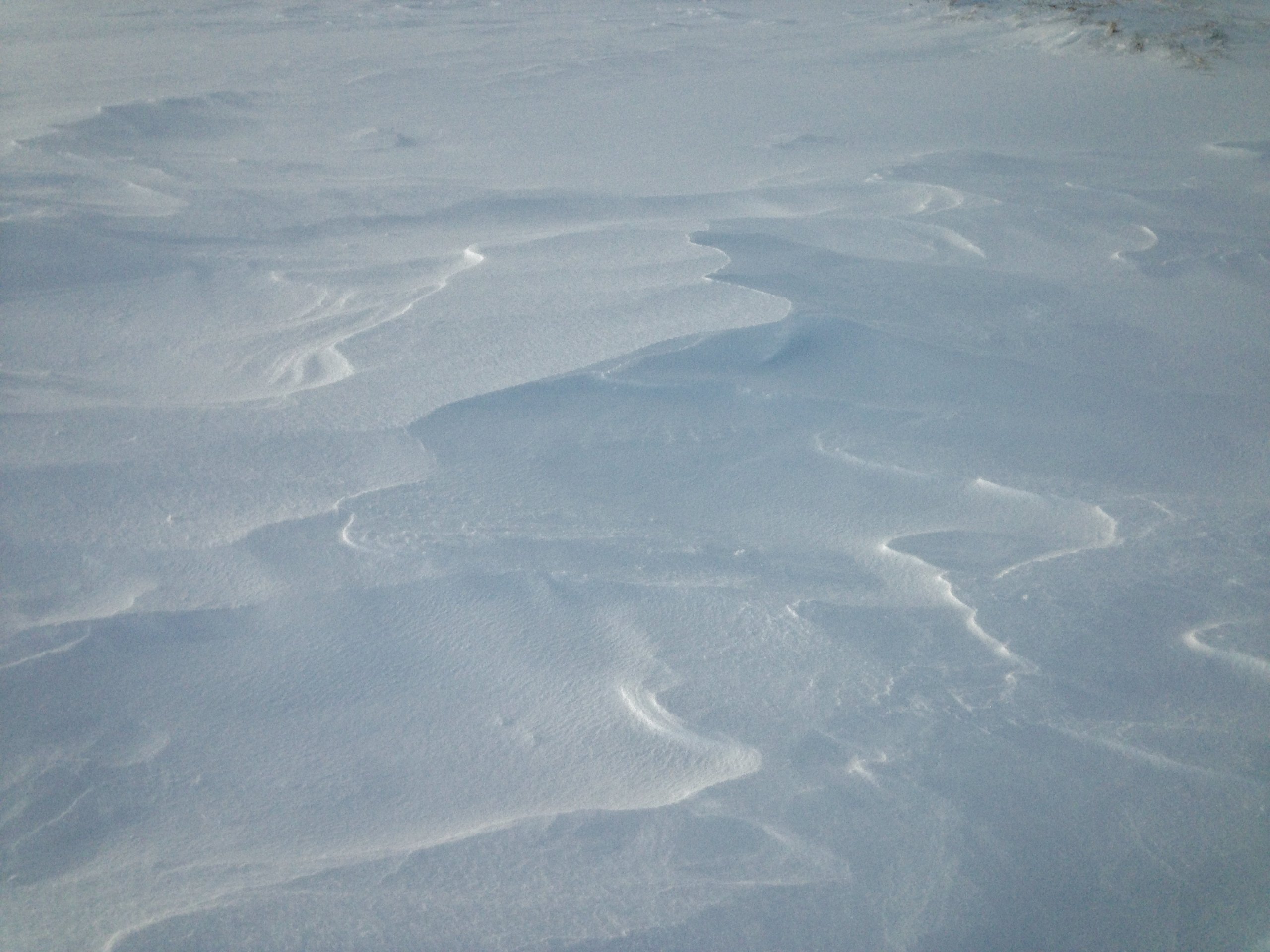
(Above) Wind erosion features in the snow (Sastrugi) at 650m. The wind currently is blowing from Left to right, from the East, but there is evidence of recent snow erosion from a Westerly wind, blowing from right to left. Deep snow drifts remain on many aspects above 600m.
Comments on this post
Got something to say? Leave a comment


