A Bright Day
15th January 2021
Covid -19
The Scottish Avalanche Information Service issues information to support permitted activity under current Scottish Government guidance.
Please be aware of current mandatory travel restrictions in Local Authority areas within Scotland and respect local communities by referring to Scottish Government guidance and safe route choices for exercise. For further guidance please refer to the following information for hillwalkers and climbers and snowsports on ski and board.
This blog is intended to provide hazard and mountain condition information to help plan safer mountain trips.
A dry bright day, with more cloud over the coastal mountains. Despite the general slow thaw, there is good snow cover remaining above 600m, particularly on mountains away from the coast. The snowpack is generally well consolidated and stable, although some localised windslab persists on steep summit slopes above 850m, NW through N to NE aspects. More new snow is expected in the next 24 hours.
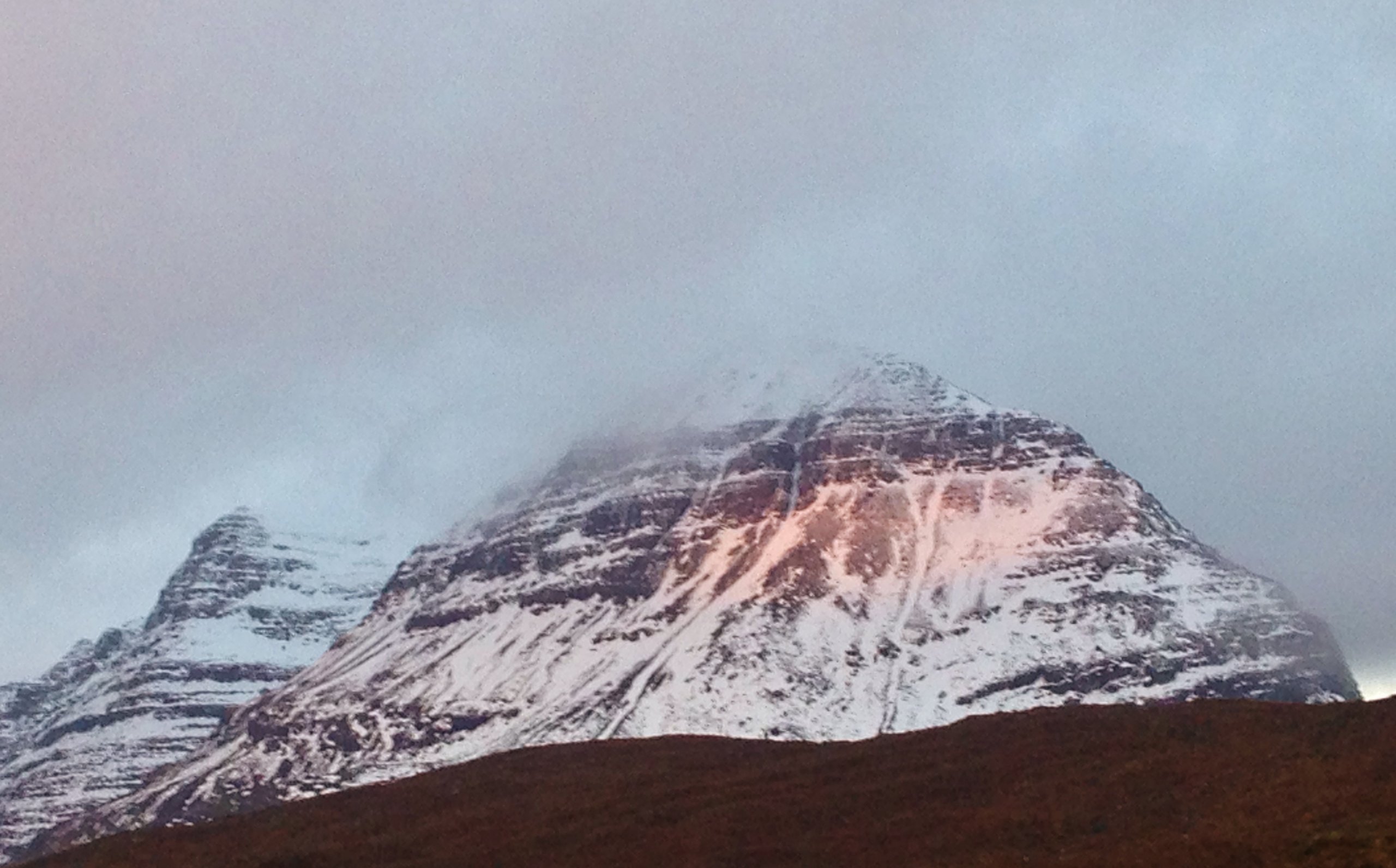
(Above) Remaining snow cover on southerly aspects of Liathach this morning.
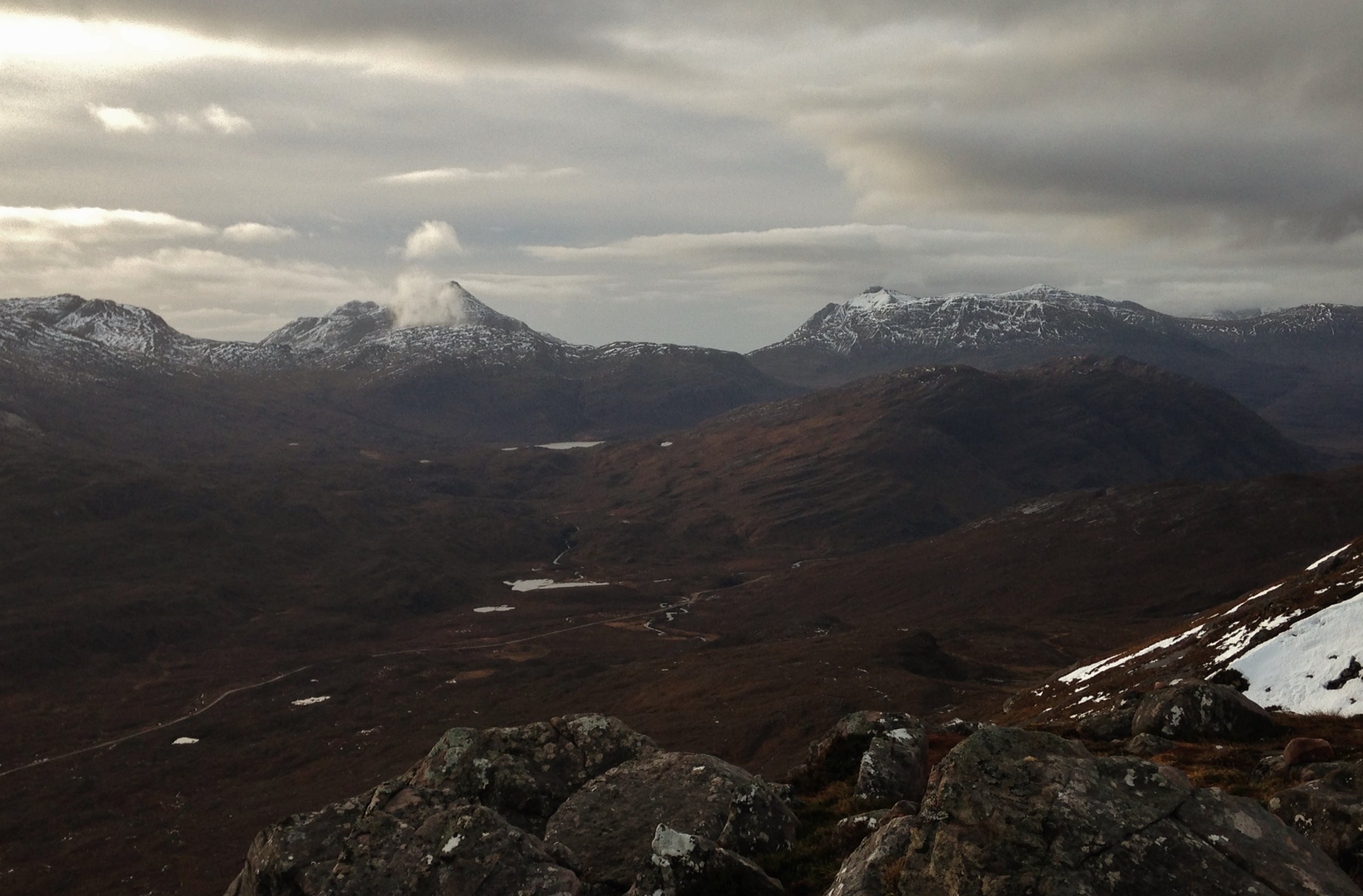
(Above) Less snow evident on the more coastal mountains and on mountains in the south of our forecast area. From left to right; Sgorr Ruadh, Maol Chean-dearg, Beinn Damh and Beinn Bhan in the background far right. Thickening cloud moving in from the west ahead of the next frontal system.
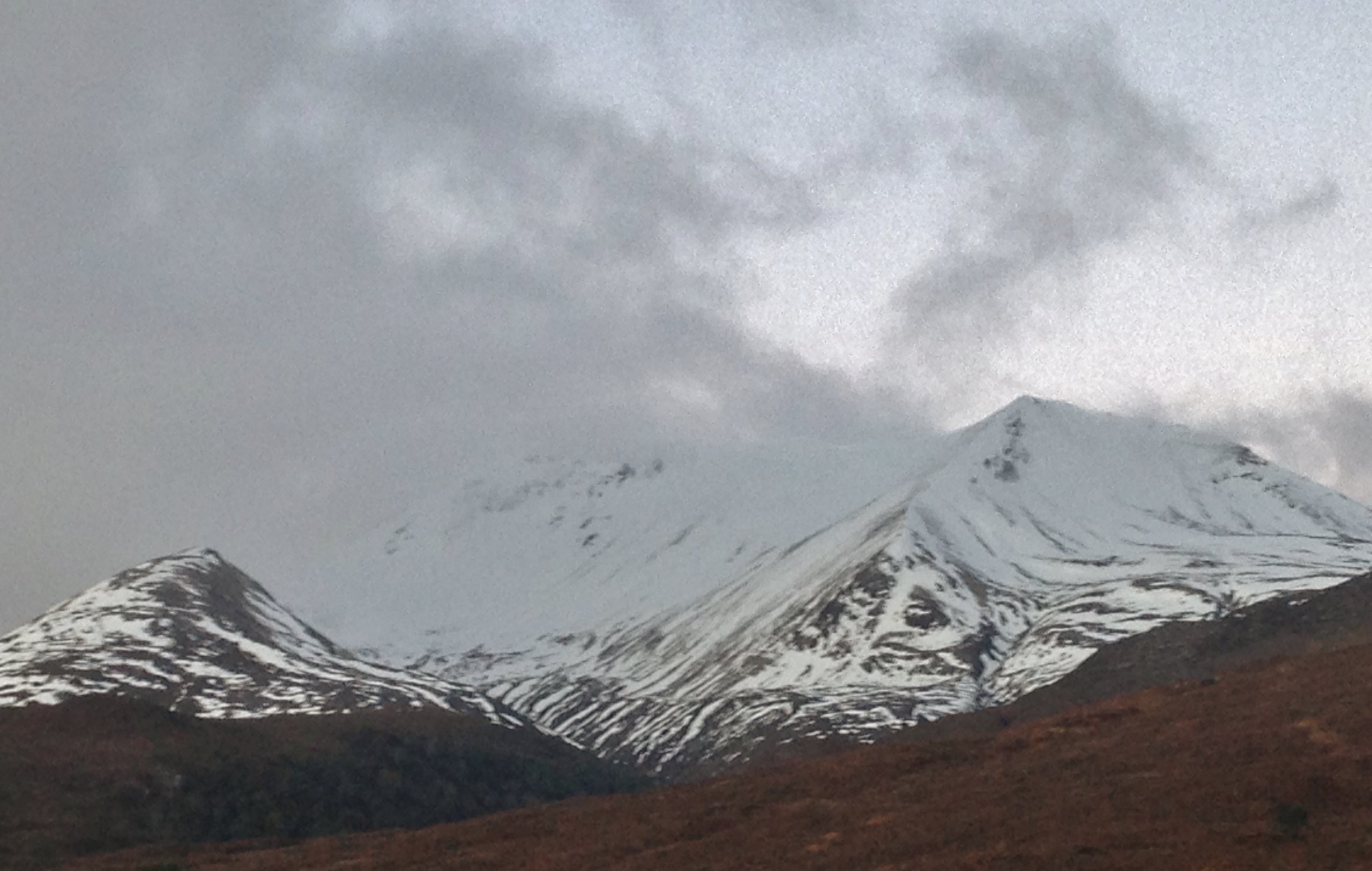
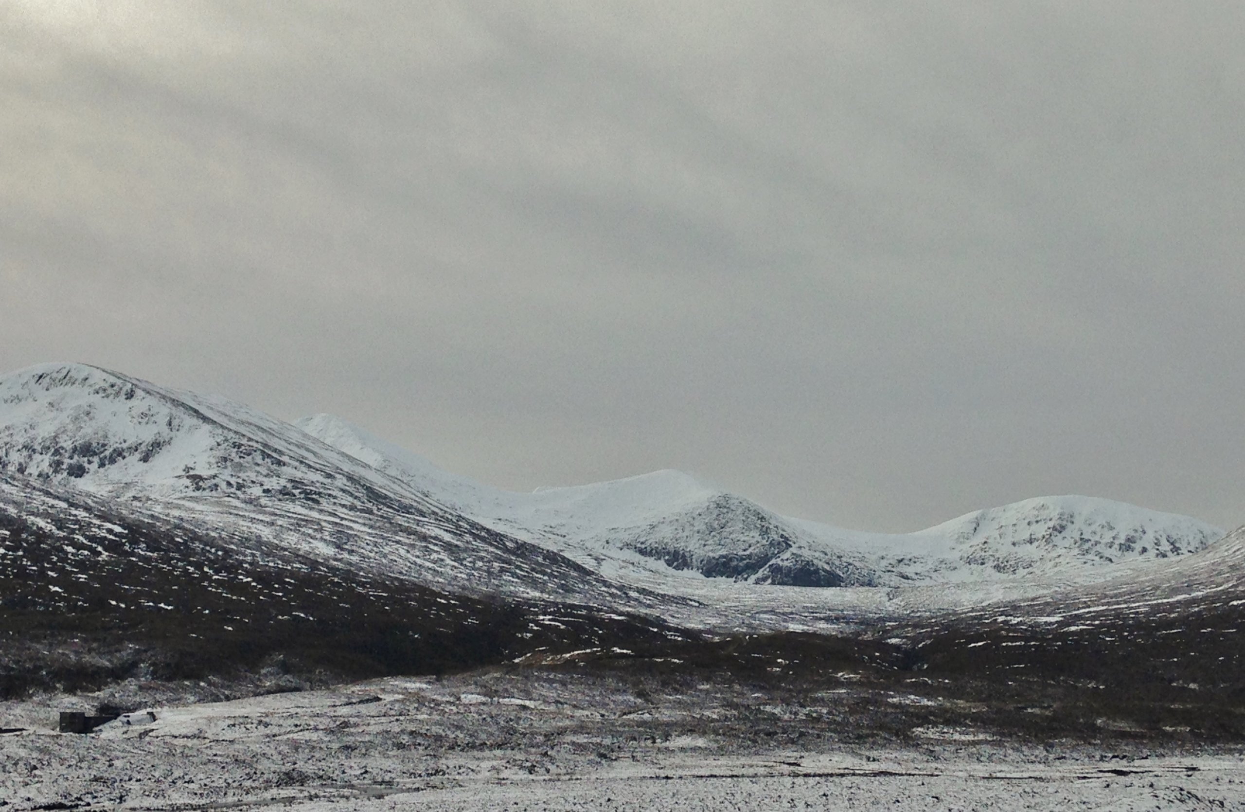
Greater accumulations of snow remains on the more inland mountains such as the east end of Beinn Eighe (above) or in the Fannaichs (below).
Comments on this post
Got something to say? Leave a comment


