Deja Vu!
15th February 2020
A similar day to yesterday, but much heavier and a more prolonged period of rain! Thought I’d beat the heaviest rain by setting off a bit earlier. Wrong! I was furthest from the road when the worst wind and rain hit the Torridon hills. Just as well the wood stove was burning hot in the Torridon café later.
Heavy thaw conditions affecting a much depleted and saturated snowpack. Some summit sleet and snow later in the afternoon.

Beinn Eighe holds the most snow in the Torridon mountains, particularly on North through East to South-East aspects.

Less snow and bare areas on previously wind exposed South and West aspects on Beinn Eighe.

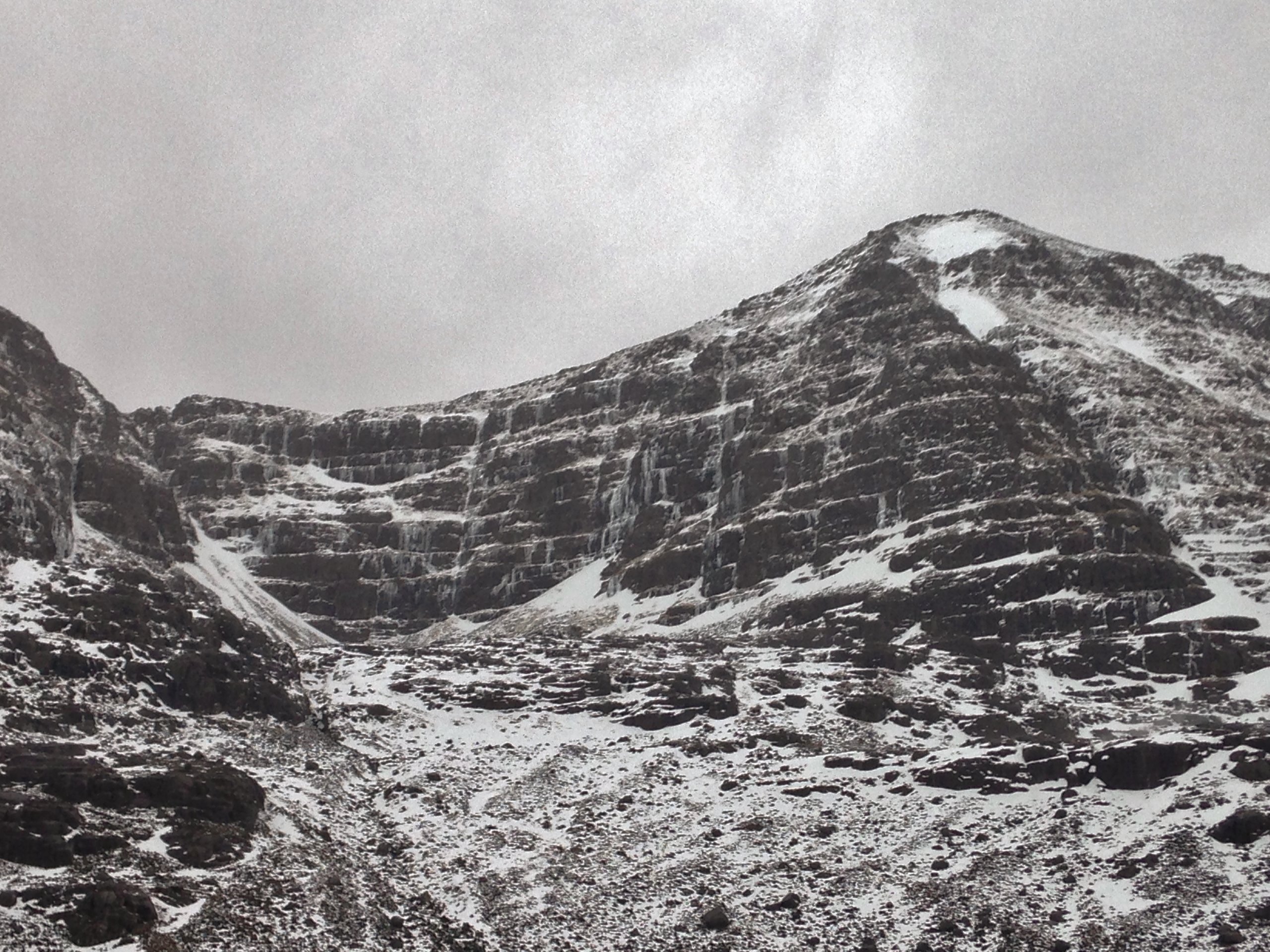
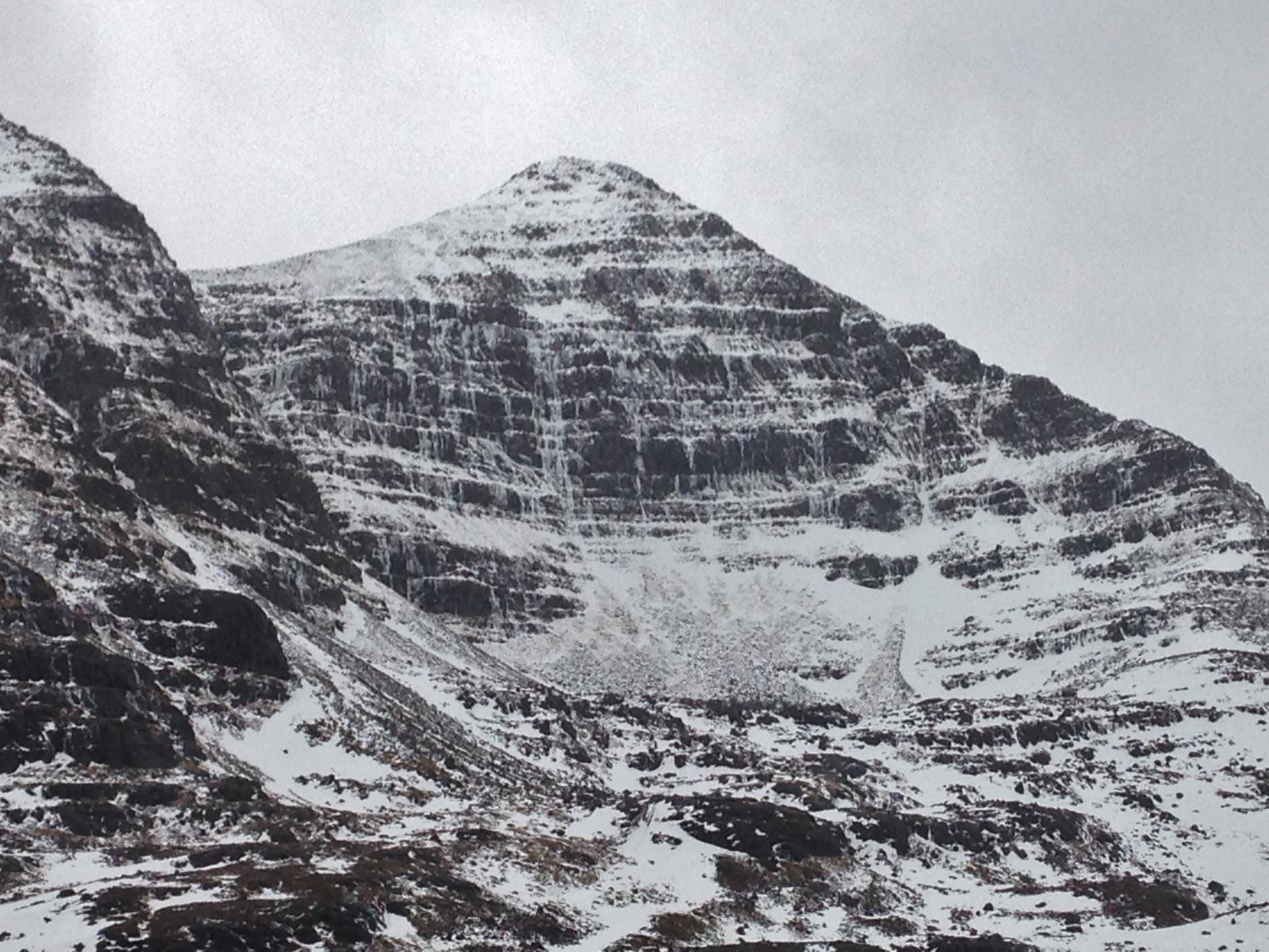
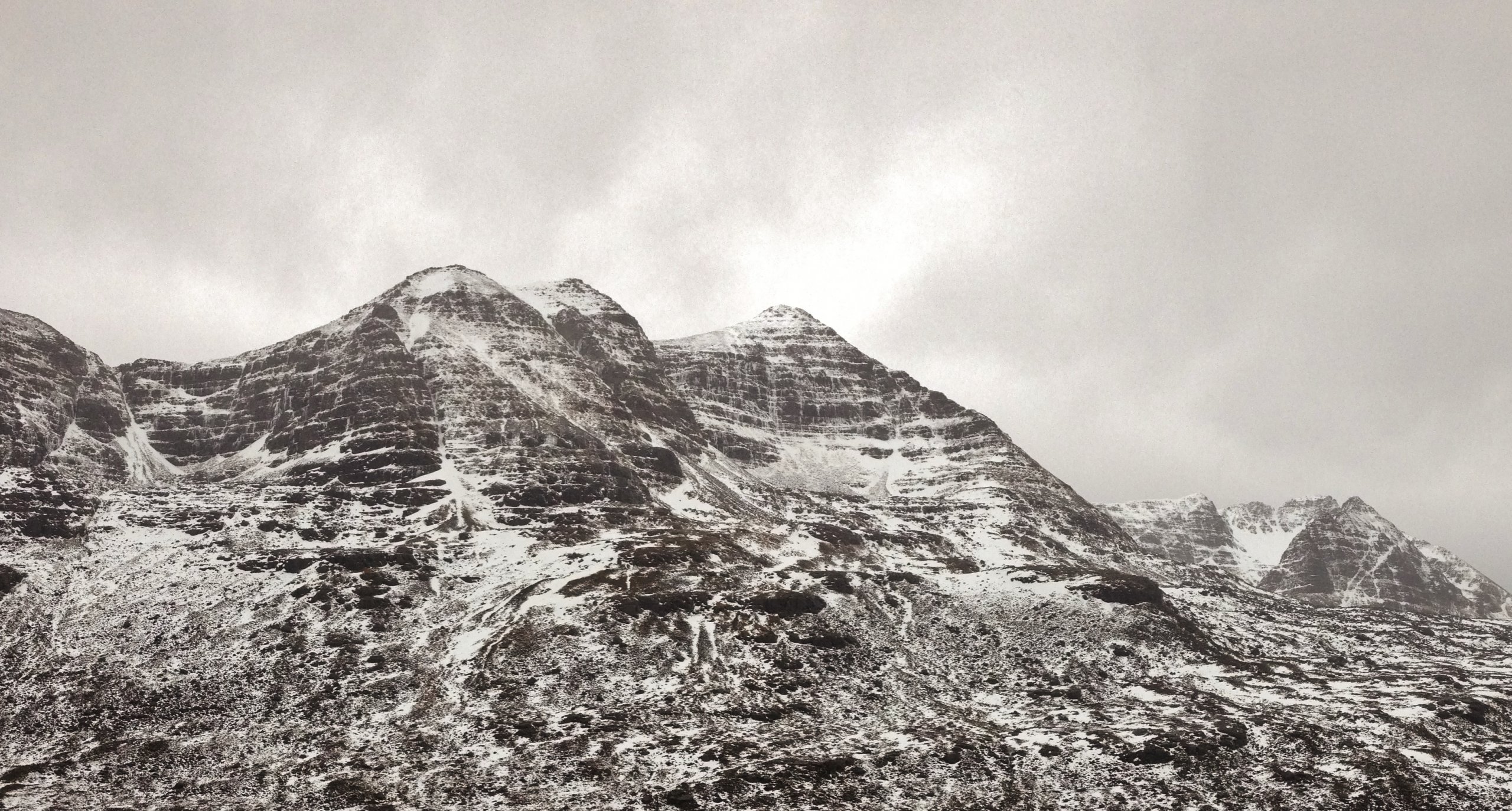
Heavy rain and thawing snow cover at all levels on Liathach.
Below are three photos of the north side of Liathach showing limited snow cover in the northern coires, North-West to North-East aspects. Many ice slivers remaining in all the usual places – but for how long?

Beinn Alligin and Beinn Dearg just as the worst weather of the day arrived!
Comments on this post
Got something to say? Leave a comment


