Ciara; Wild, Wet and Windy
9th February 2020
Storm Ciara certainly delivered in the North West. Overnight snow followed by heavy rain and storm force Southerly winds produced a rapid thaw particularly of lower lying snow, although it reached the summits mid morning. There consequently was a period of greater instability in areas of windslab that had accumulated yesterday and overnight in wind sheltered locations.
The Met station at Sgurr a’ Chaorachain (Bealach na Ba, Applecross) stopped recording for a while at 9.00am, but showed a sudden rise in temperature (5C in 2 hours) and wind speed from 07.00 to 09.00.
07.00; -1C/SE/15mph, gusting 44.
09.00; +4/SSW/63mph, gusting 98.
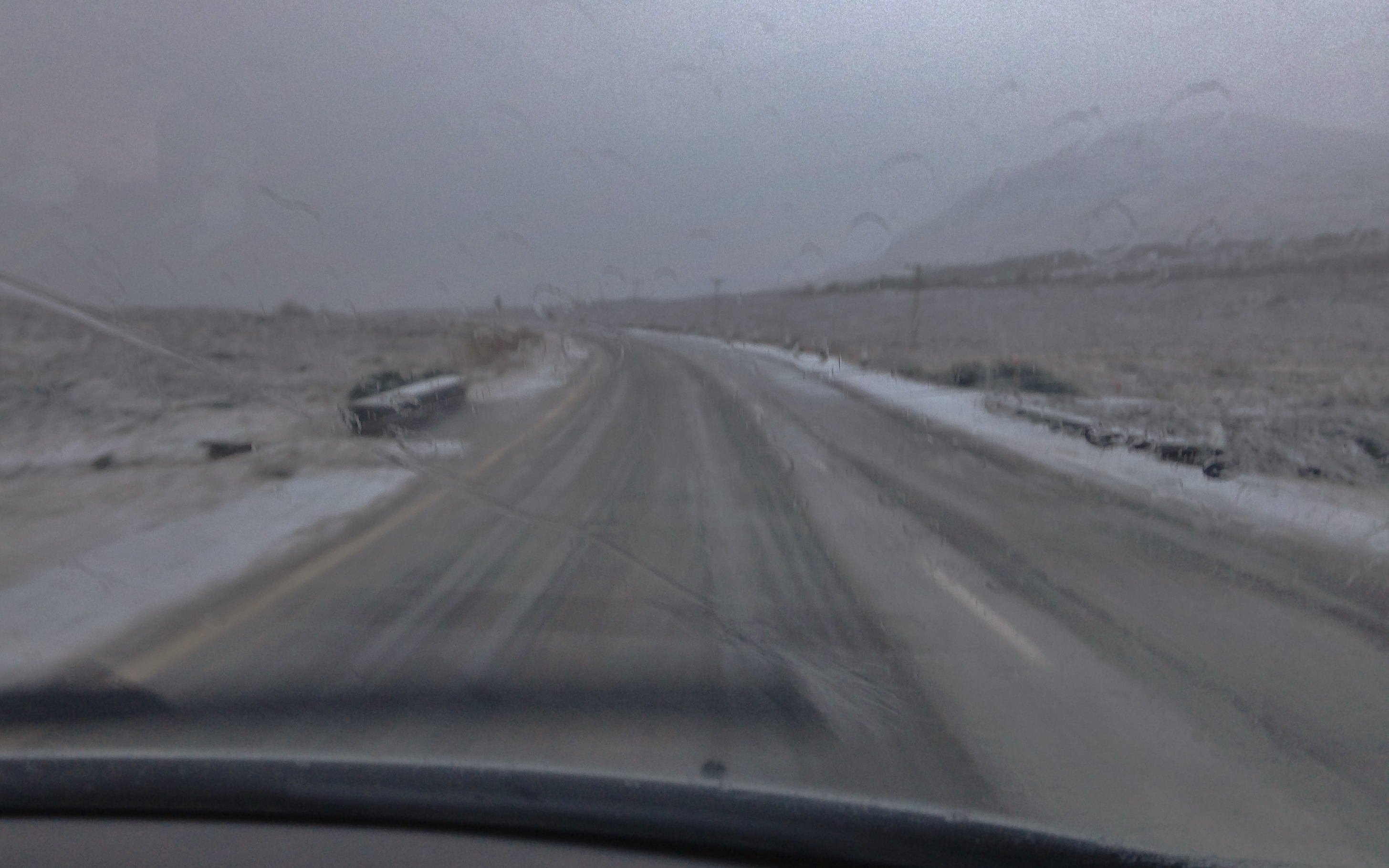
Severe gales, lashing rain and overnight snow on the Dirrie turning to slush at 280m height, 8.45 this morning.

Severe gales, lashing rain and +8C in Lochcarron at 10.00am this morning.
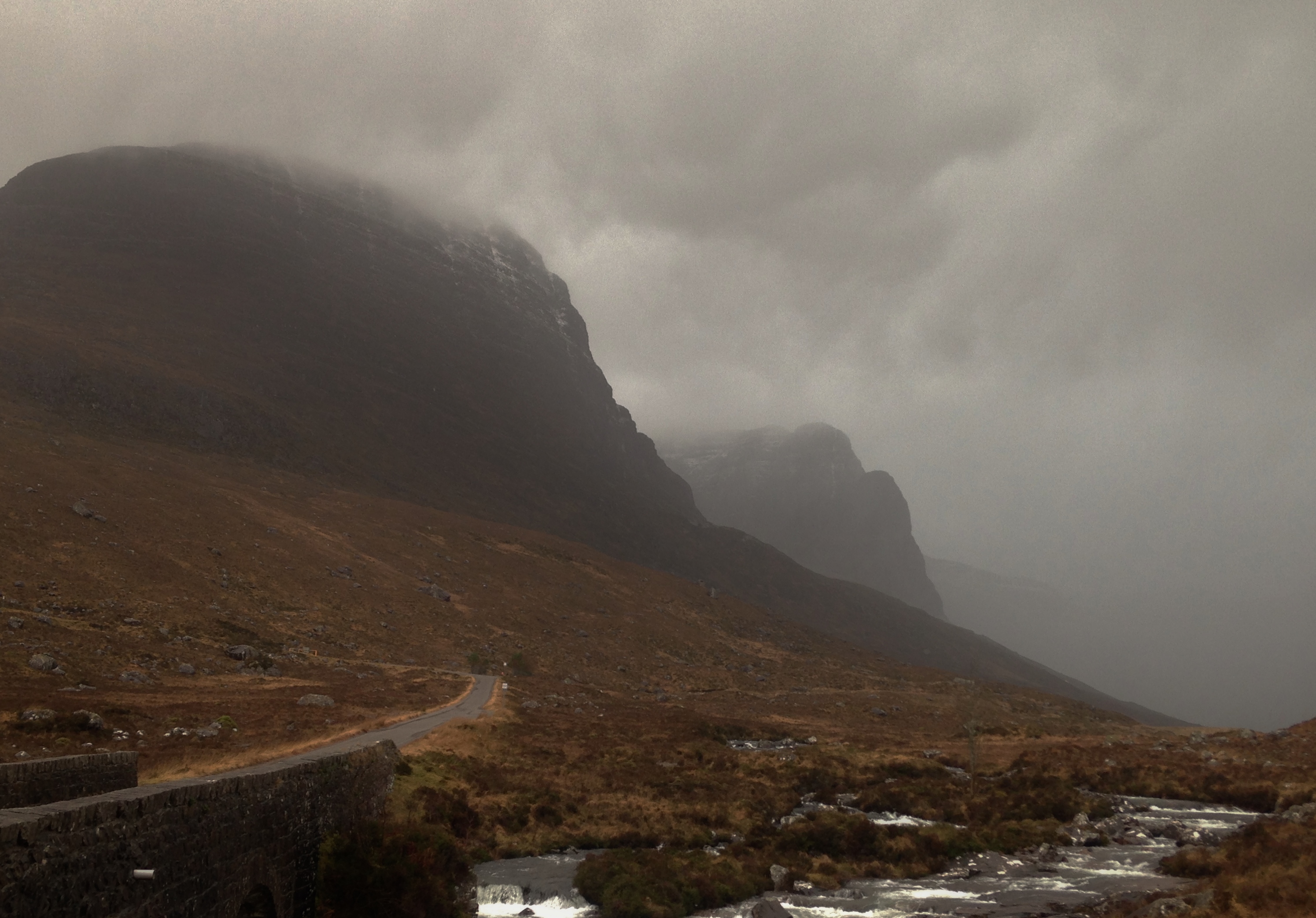
A light covering of wet snow on Sgurr a’ Chaorachain and Meall Gorm of the Applecross hills. The persistent heavy rain turning more showery by mid morning, but still very intense!

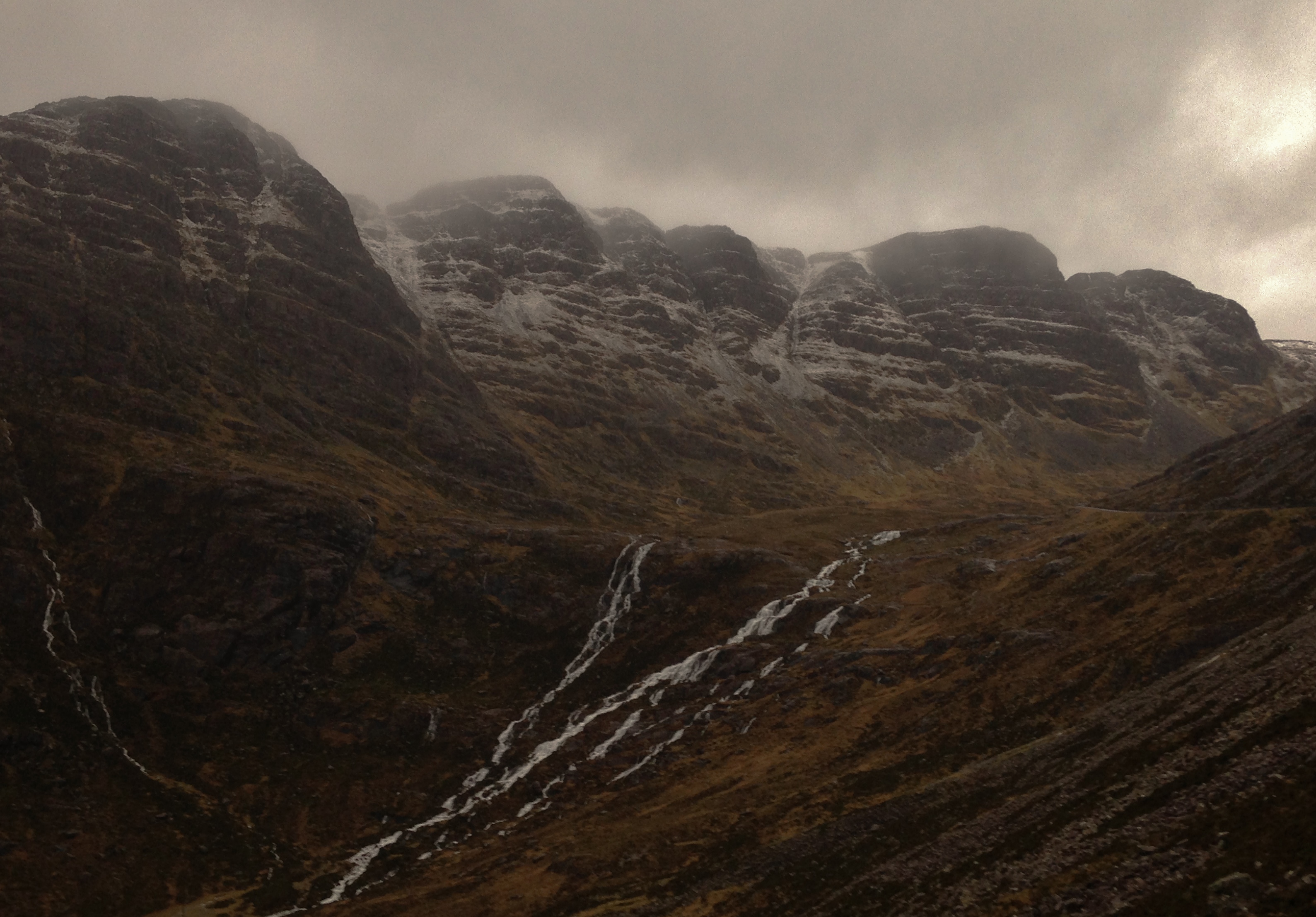
A maelstrom in the sheltered eastern coires of Beinn Bhan, Applecross hills. Rapidly thawing snow cover with burns and rivers in spate.
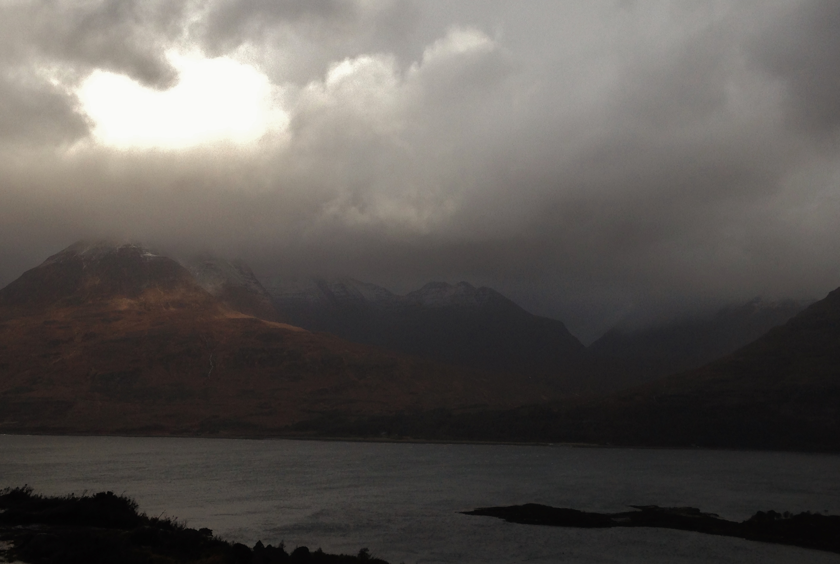
Some brightness over Beinn Alligin. However, most of the Torridon hills were cloud covered and stormbound.
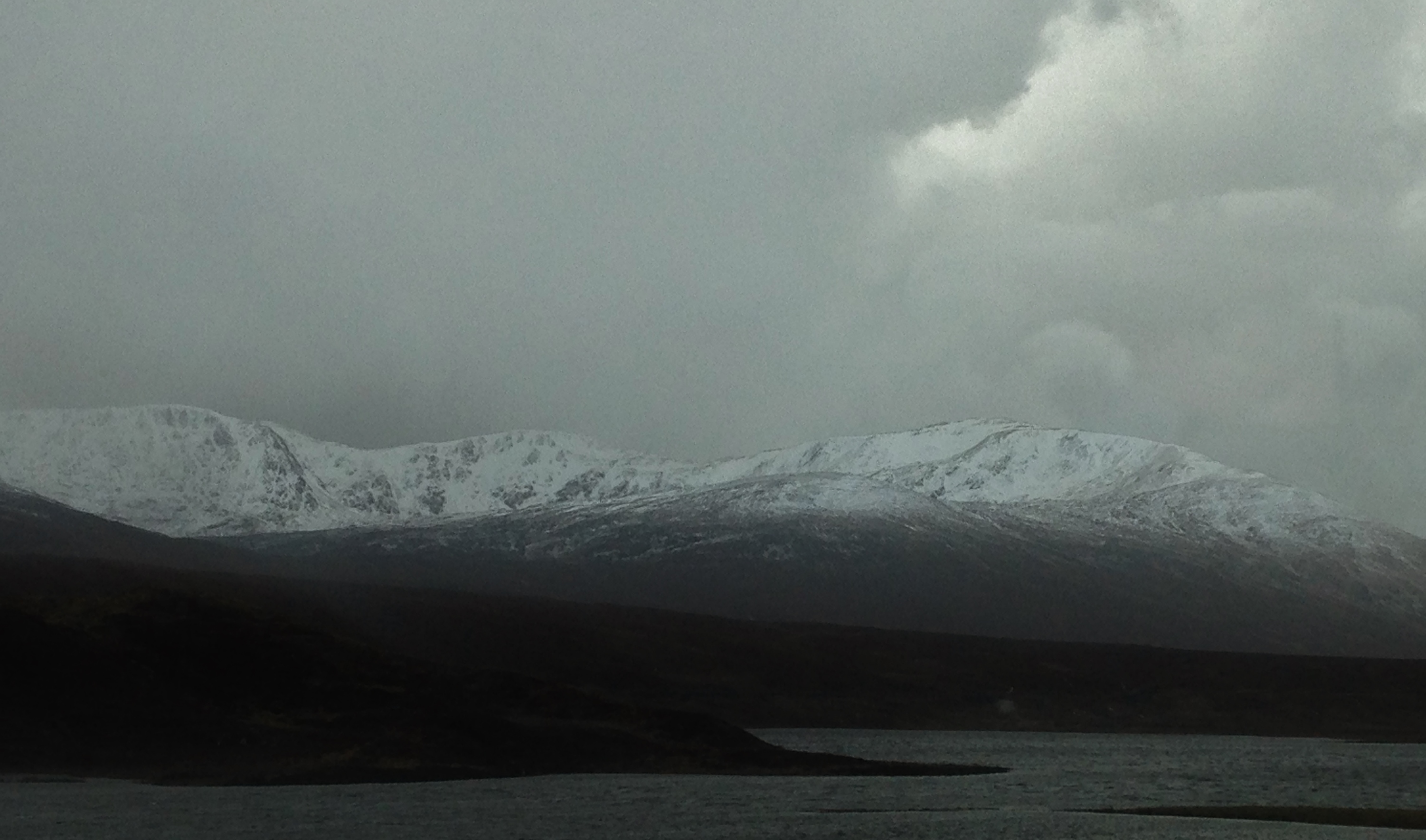
A view to the sheltered North to East aspects of the summits of Moruisg (928m) before the thaw really set in. Small areas of fresh windslab are visible along coire rims, sheltered summit slopes and coire back walls, mainly above 750m.
Comments on this post
Got something to say? Leave a comment


