High pressure building from the West
25th March 2019
It has been a much nicer day with some cloud on the tops and a shower or two first thing this morning but the rest of the day has been dry. Fronts are pushing into North West Scotland through Tuesday bring occasional rain to our area. This will fall as snow at first above 800 metres but will turn to rain later.
A bit overcast this morning but it cleared a bit later.

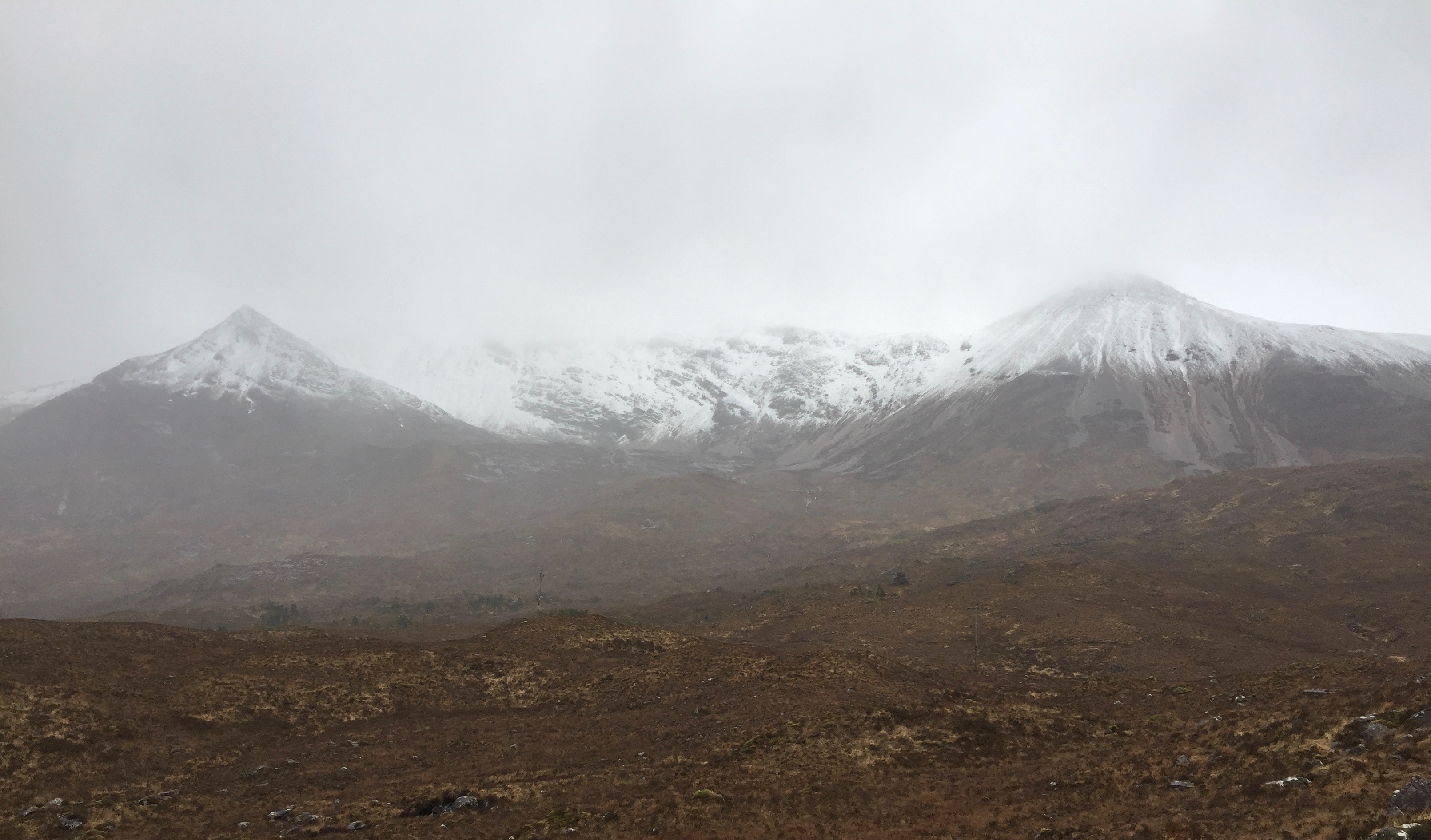
Looking over towards Sgur nan Fhir Duibhe and the Bodaich Dubh (Black crags). The snow level is around 600 m.

Spidean Coire nan Clach.
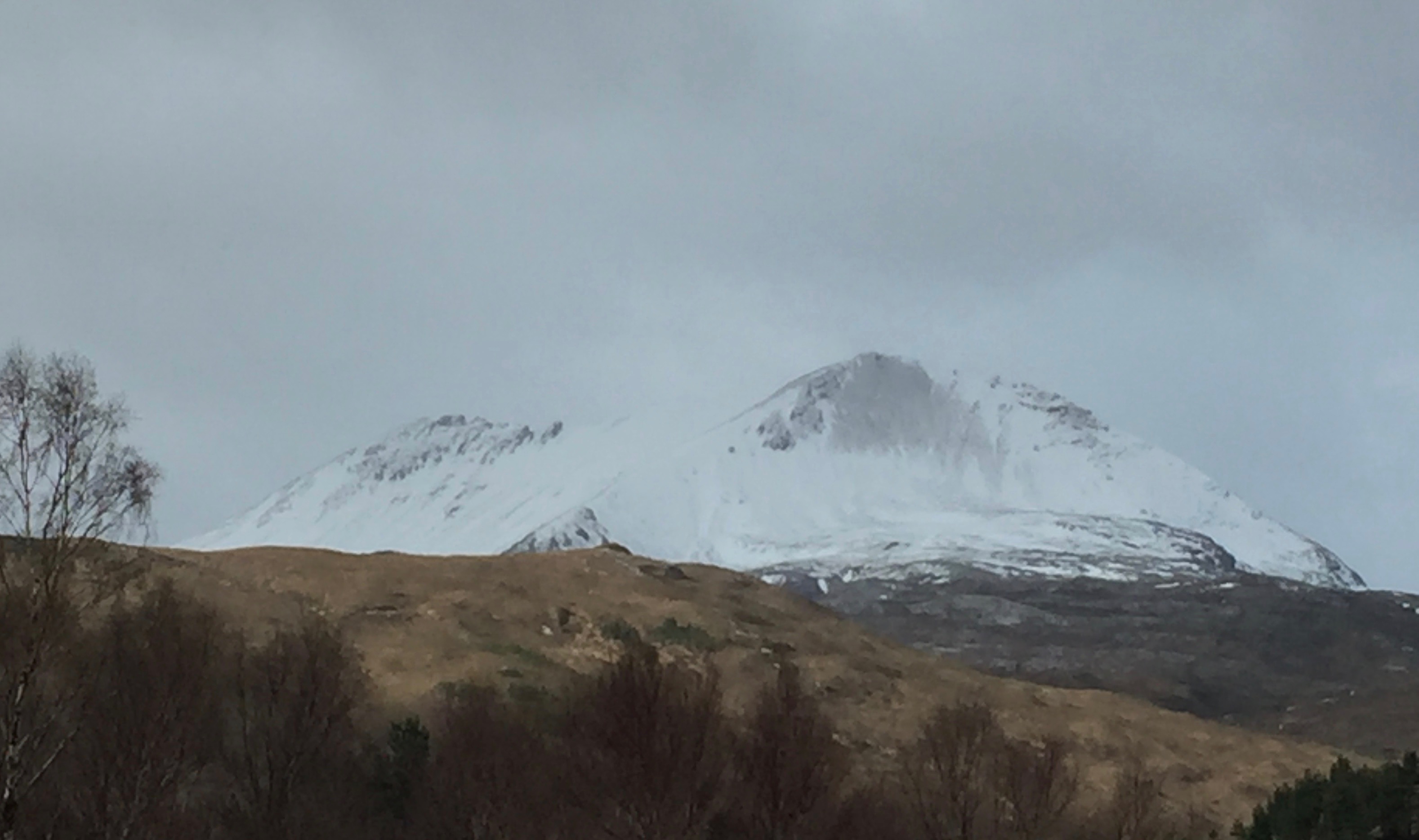
Creag Dhubh, Beinn Eighe from the road side.
Comments on this post
Got something to say? Leave a comment


