Wild Land Areas
7th April 2017
Drizzly rain showers with summit cloud persisted through the day. Mild (2.9°C/17mph/WSW at 760m) – thawing snow patches at all levels, although the snow remains firm at higher elevations. More of the same tomorrow; cool on the tops, fresh SW wind and drizzly showers with associated hill cloud at times, perhaps falling as snow around summit level. However, amounts will be insignificant.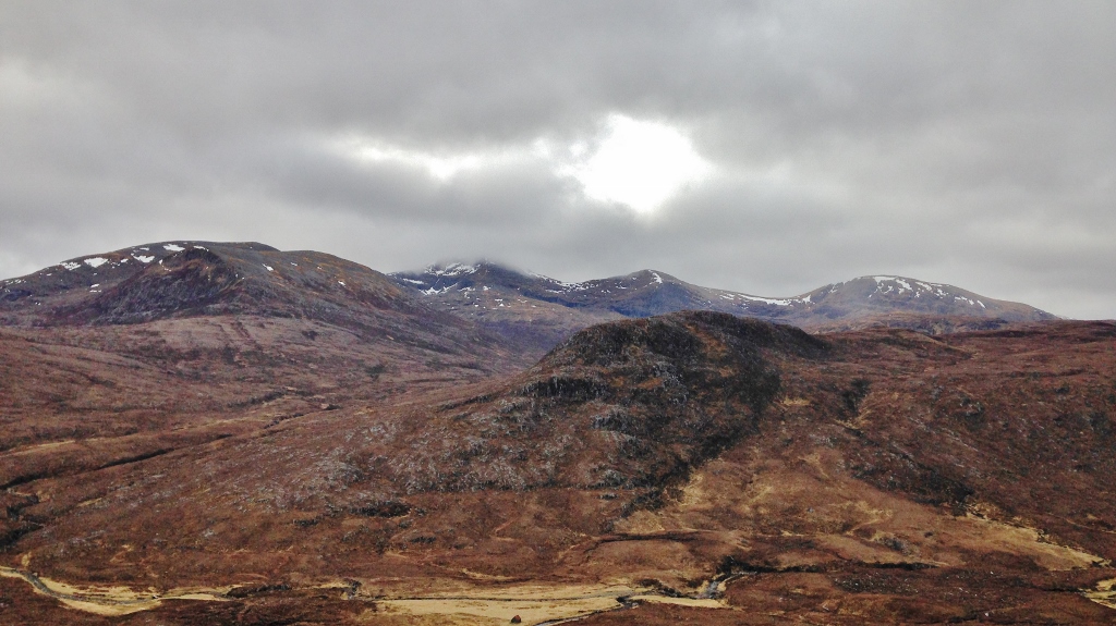 (Above) The extent of the snow cover in the Fannaich mountains; patchy above 800m, most snow remains on North to East aspects.
(Above)Â The extent of the snow cover in the Fannaich mountains; patchy above 800m, most snow remains on North to East aspects.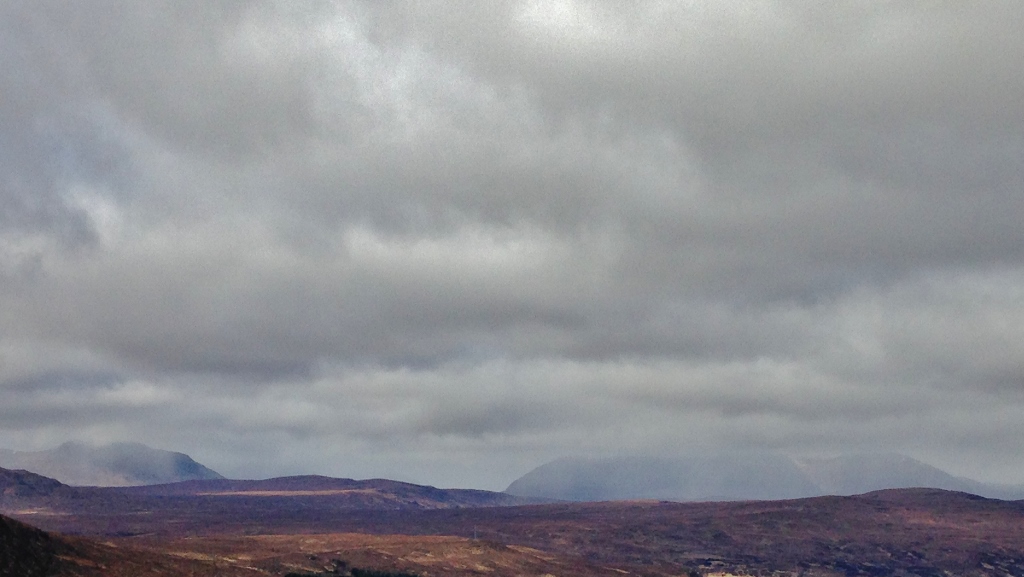 (Above)Â Drizzly showers over An Teallach (right) and Beinn a’ Chlaidheimh (left).
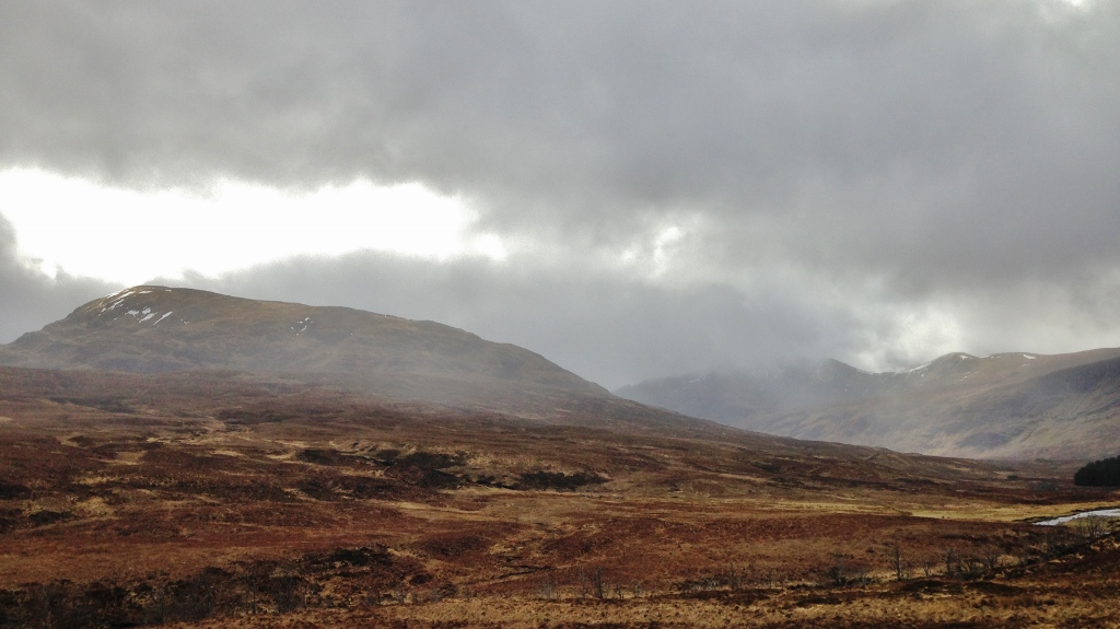 (Above)Â Remnants of snow on the western Fannaichs.
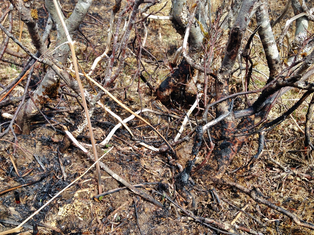
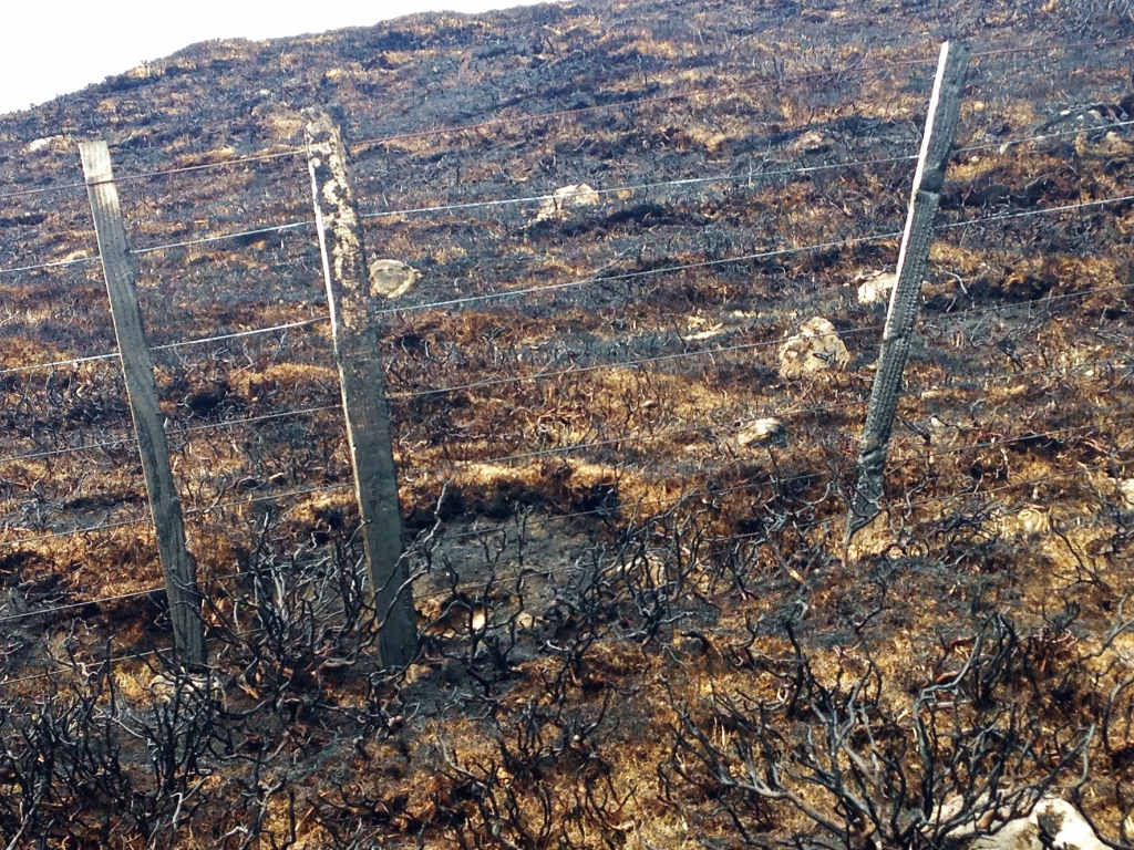
SNH are currently consulting on a draft document and imminently about to release findings on ‘Assessing Impacts on Wild Land Areas’. Do some current land management practices need to be revised? Below are three photos of recent uncontrolled muir burn damage!

Comments on this post
Got something to say? Leave a comment


