A Dark Day
9th April 2017
Note;Â Next Torridon Blog will be on Thursday 13th.
A cold front pushed into the North West today and the persistent and sometimes heavy rain arrived early afternoon with associated hill cloud and strong S winds – summit (Sgurr a’ Chaorachain – 760m) readings at 12pm; 3.8°C/30mph/SSW. The few remaining patches of snow continue to thaw. Colder air behind the front pushed down the freezing level through the afternoon.
A small amount of fresh wet snow is expected on the higher summits later. Remaining unsettled for a while with colder temperatures and fresh NW winds expected tomorrow. The old snow patches will firm up at higher elevations.
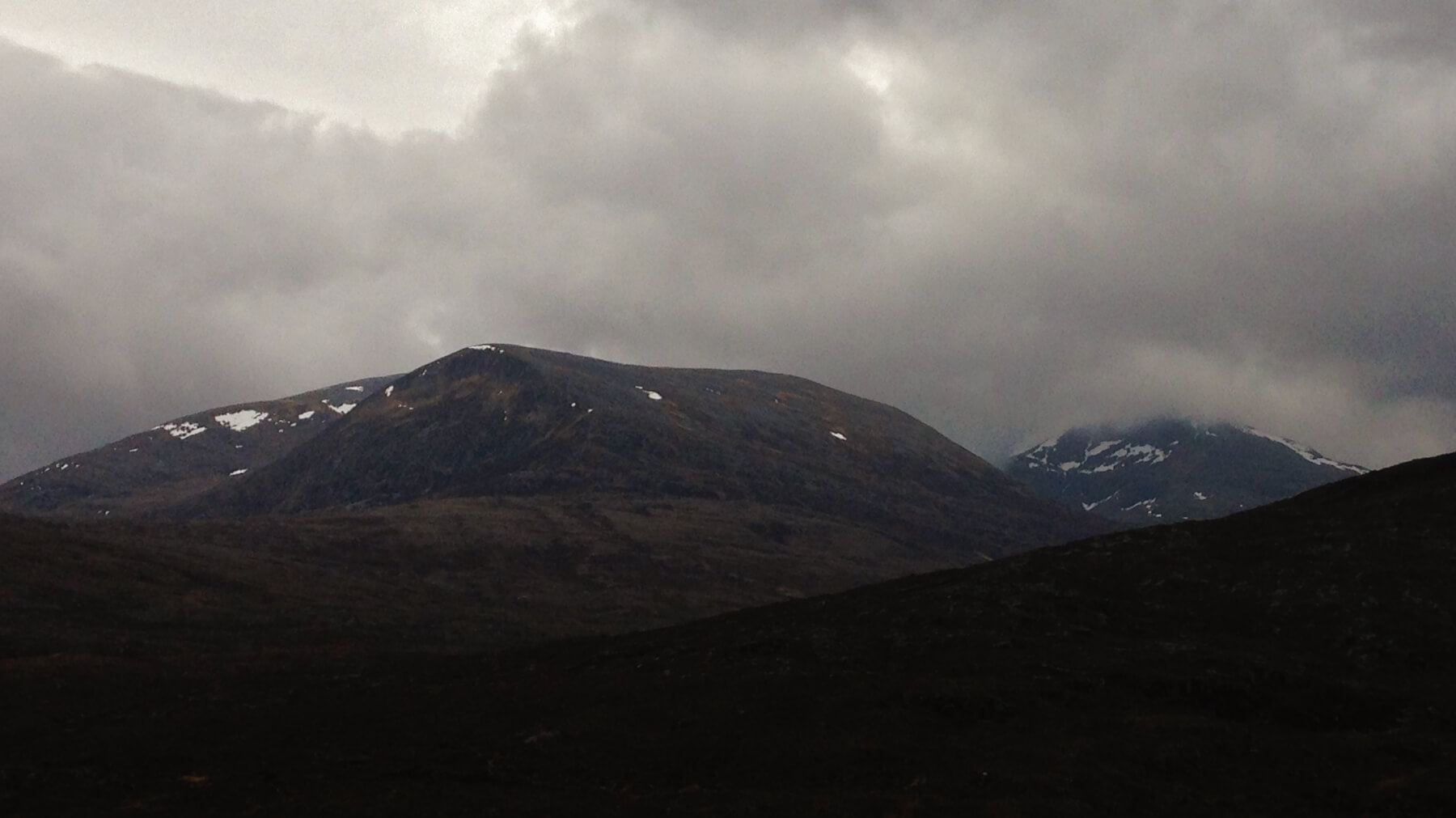 (Above) Beinn Liath Mor Fannaich and Sgurr Mor with a few remaining patches of old snow, mainly above 800m. Hill cloud descending ahead of the rain.
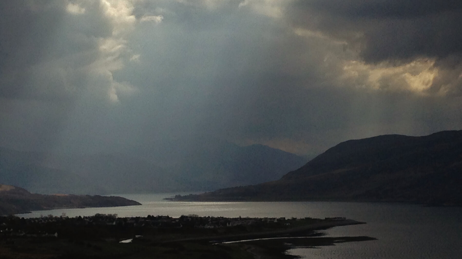 (Above) Ominous clouds over Beinn Dearg. Plenty of poor weather options in Ullapool including a new climbing wall in the sports centre and a swimming pool for the kids?
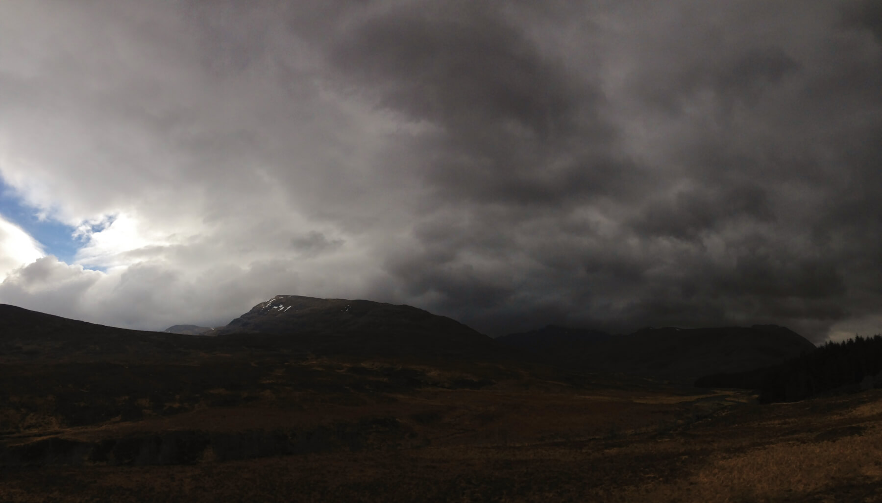 (Above) Dark clouds – it felt a bit thundery – moving over the western Fannaichs.
(Above)Â Dark clouds – it felt a bit thundery – moving over the western Fannaichs.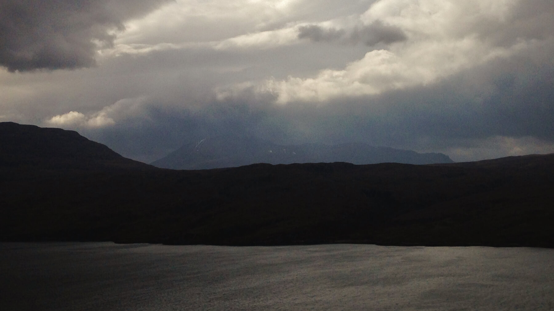 The last of the early brightness over An Teallach and Loch Broom.
Comments on this post
Got something to say? Leave a comment


