A Bit More Snow
15th April 2017
Winter conditions prevailed today; scattered and blustery wintry showers with strong to gale force NW winds. Main snow level around 700m. with some pockets of windslab building at higher elevations, mainly on E/SE aspects in steep sheltered locations. The patches of old snow remain firm. 0°C recorded at 800m midday today.
The strong winds will dramatically ease through the day tomorrow and the snow showers will become isolated and slow moving. As the freezing level rises to the summits, there will be a noticeable thawing of the lower lying fresh snow with precipitation falling as sleet and wet snow on the tops during showers. It will still feel cold with significant windchill.
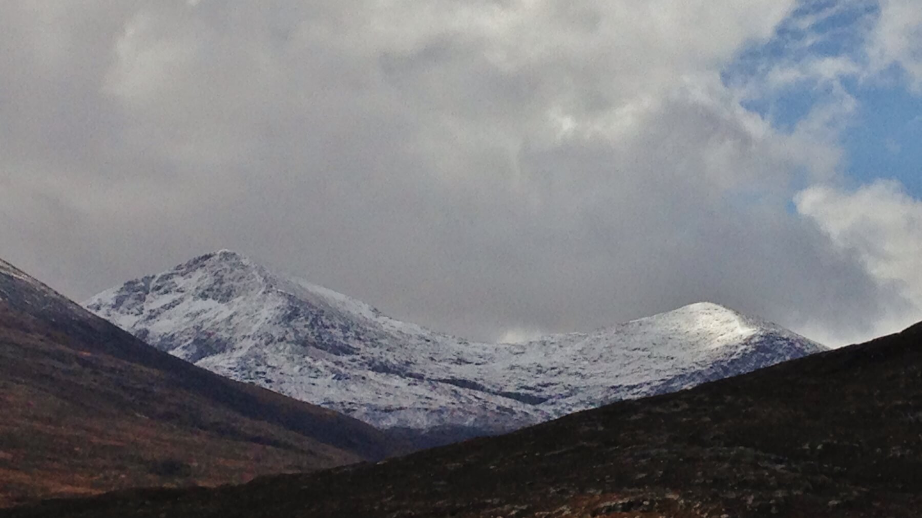
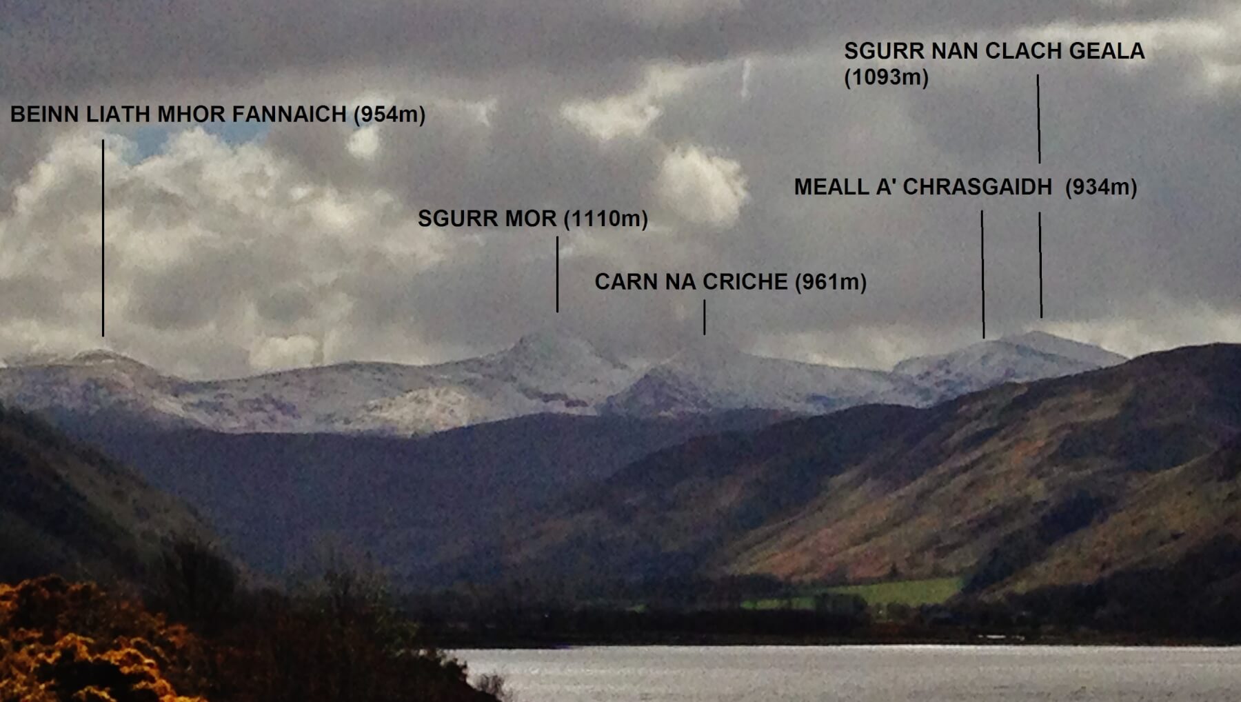
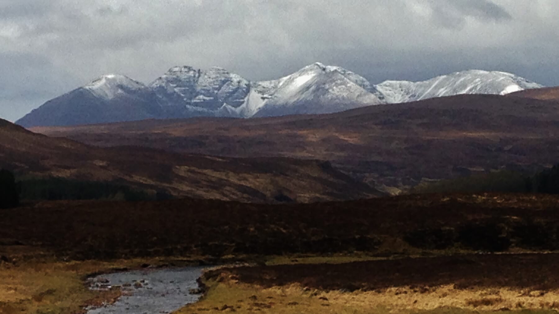
Below are some views of conditions today in the Fannaich mountains.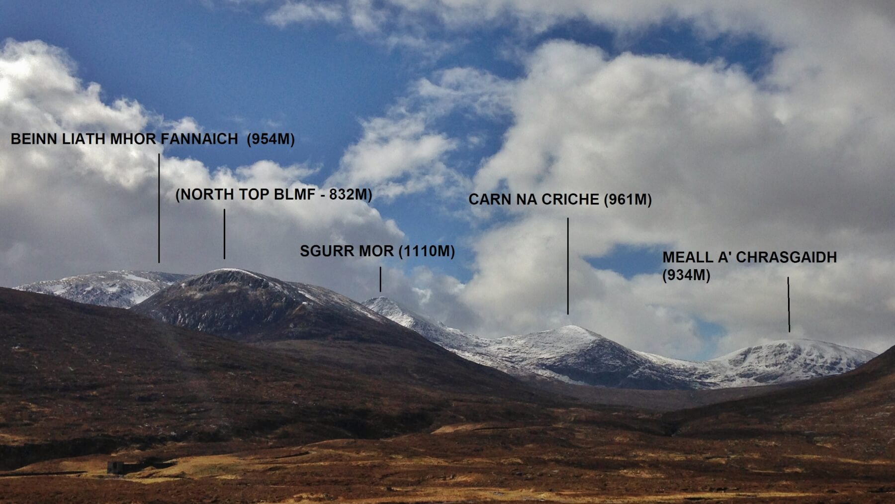
 An Teallach
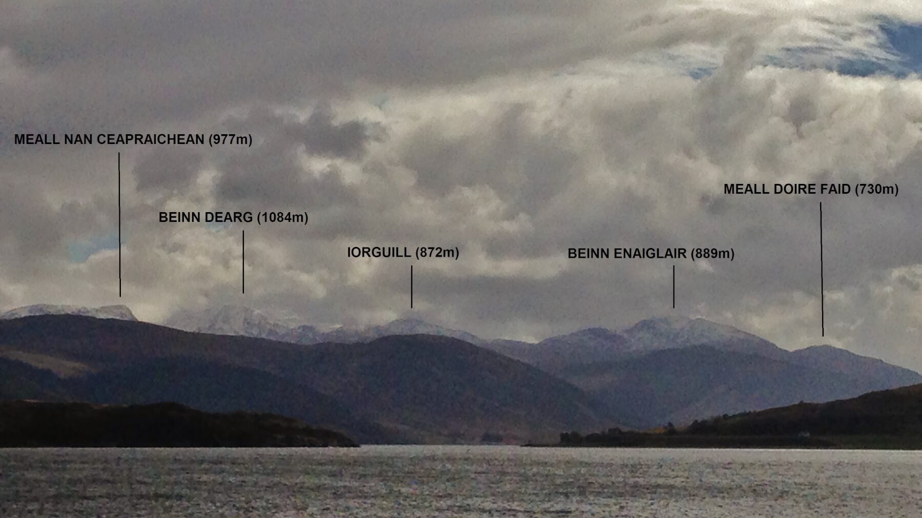 The Beinn Dearg hills from Ullapool.
Comments on this post
Got something to say? Leave a comment


