A Wee Doris
23rd February 2017
The so called ‘Storm Doris’ was rather benign in the North West highlands, generally cloudy with light winds. But, it deposited a few centimetres of fresh snow on all aspects above 300 metres, so the mountains are looking wintry. More snow overnight and tomorrow, but becoming milder again and wet on Saturday.
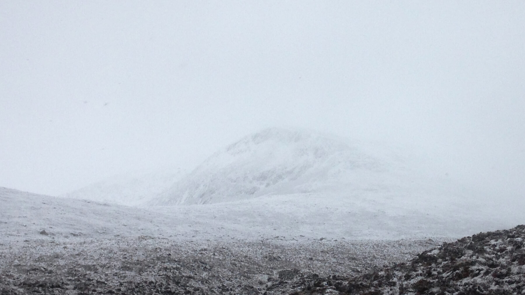 (Above) Fresh snow in the Fannaich mountains – north top of Beinn Liath Mhor Fannaich at 832m. Some areas of deeper snow accumulations just visible under the summit on a North-East aspect.
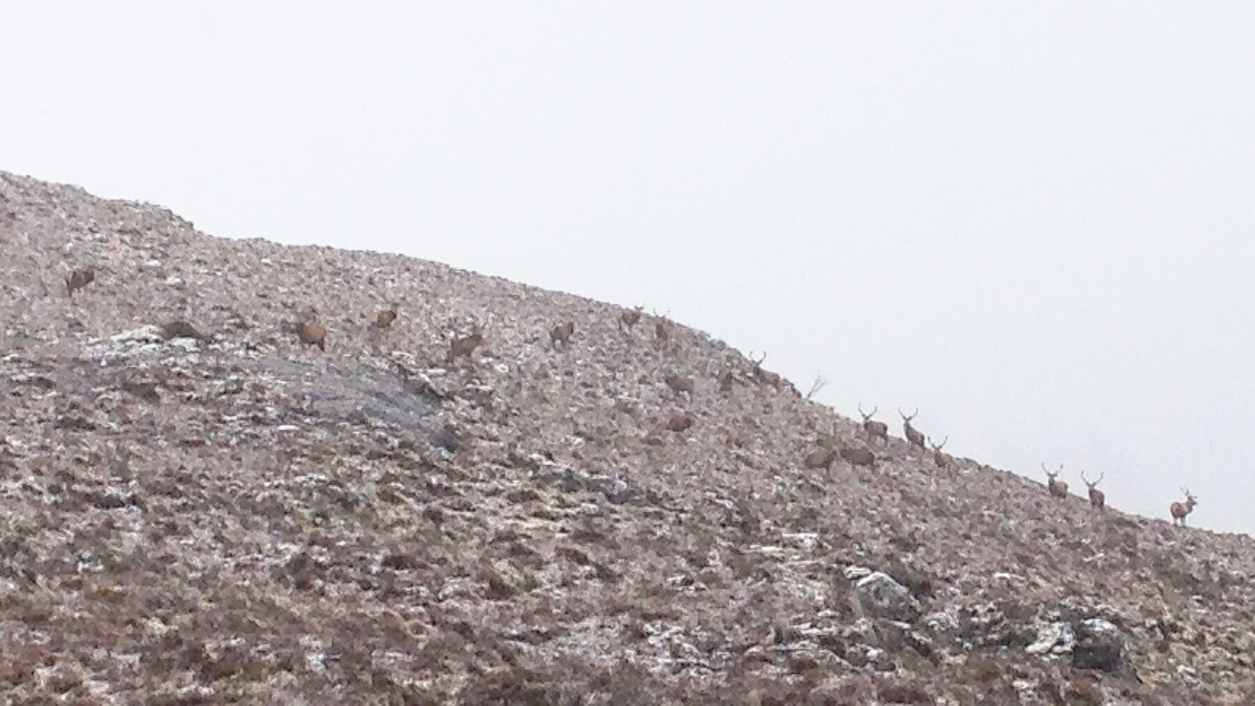 (Above) A herd of stags. The deer were lower down on the hill in the colder conditions.
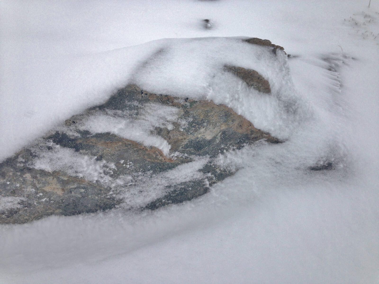 (Above) Some evidence of snow redistribution, albeit in light winds – a minor windscoop and snowtails with a bit of riming on the blades of grass. Wind blowing from right to left in the photo.
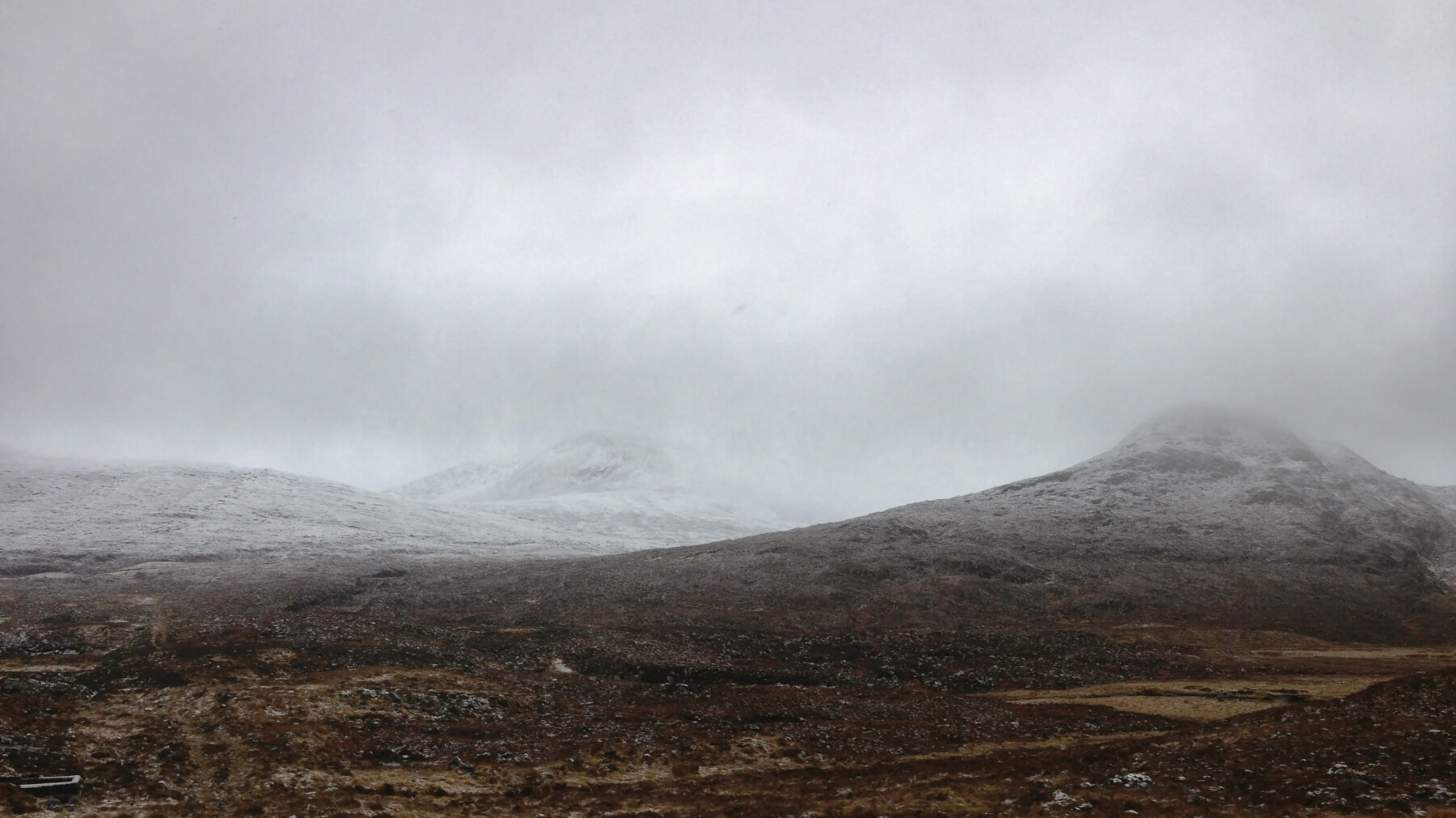 Brightening a bit on the way out! Ok, use your imagination. Although there was snow down to 250 metres, the main snowline was around 350 metres here.
Comments on this post
Got something to say? Leave a comment


