Snow Melt
20th December 2024
Rainfall and a freezing level above the summits overnight and most of today has much diminished the snow cover. A vague snowline is around 700m. and any remaining snow is thawing and wet.
A similar weather pattern to today is expected tomorrow, but with much stronger WSW summit winds of up to 80mph peaking around midday. Most new snowfall during the afternoon will be blown to lower elevations where it will melt.

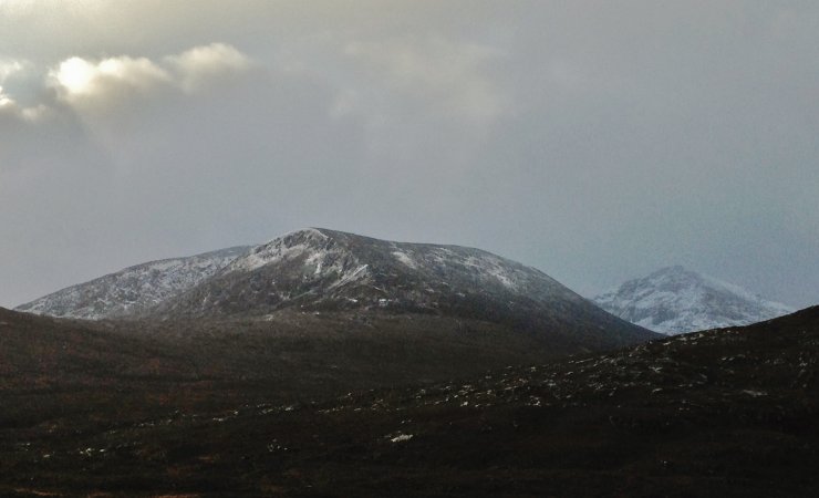
(Above) North top (830m) of Beinn Liath Mhor Fannaich centre, NE face of Sgurr Mor (1110m) background right

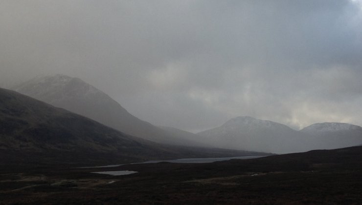
(Above) Rain turned more showery by late morning, but continued to remain mild. Forecast to get colder later in the afternoon with sleet and snow on the highest summits likely.

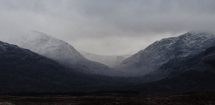
(Above) A rain shower clearing the NW aspects of Sgurr nan Clach Geala (1093m) on the left and Sgurr Breac (999m) on the right.

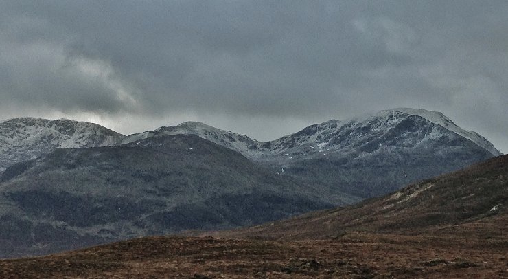
(Above) From left to right; Sgurr Breac (999m), Toman Coinnich (935m) and A’ Chailleach (997m)
Comments on this post
Got something to say? Leave a comment


