Cold North-West airstream.
21st January 2021
Covid -19
The Scottish Avalanche Information Service issues information to support permitted activity under current Scottish Government guidance.
Please be aware of current mandatory travel restrictions in Local Authority areas within Scotland and respect local communities by referring to Scottish Government guidance and safe route choices for exercise. For further guidance please refer to the following information for hillwalkers and climbers and snowsports on ski and board.
This blog is intended to provide hazard and mountain condition information to help plan safer mountain trips.
 Winds have been gale force North-Westerly today and out the hill making progress on foot has been difficult. I was beaten by the weather today so apologies for there not being a snow profile.
With the freezing level around the 350 metre level today you may have been expected deeper snow down at road level but there has not been much, however on the hill there has been heavy showers with windslab gaining depth on North-East through South to South-West aspects. Above 750 meters its becoming unstable on these aspects. Our local weather forecast is for continuing heavy snow showers around Torridon and larger snow amounts are expected inland. The freezing level is lowering to around 150 metres.

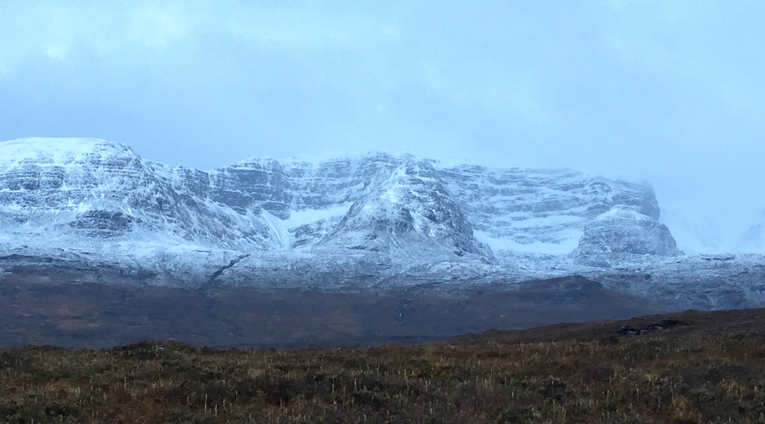
Benn Bhan, looking very windblown.

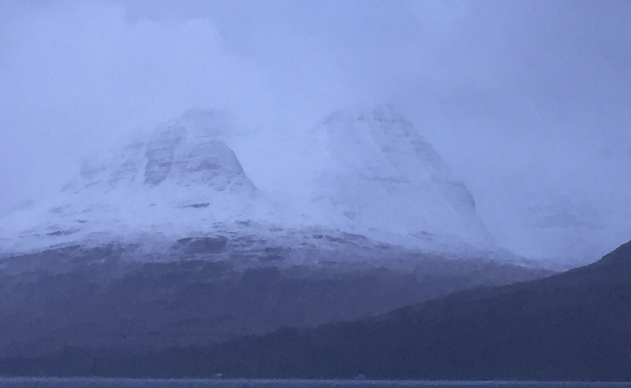
Beinn Alligin with billowing clouds of wind blown snow settling in Coir Nan Laogh.
Comments on this post
Got something to say? Leave a comment


