Glen Torridon
10th February 2026
It was predominantly dry in Glen Torridon today, with increasingly strong Easterly winds. The freezing level was on or around summit level, but expect that to drop tomorrow down to around 600m. It is forecast to remain dry again on Wednesday in Glen Torridon, but over in the North & East of the region (Fannaich’s and Fisherfield) snow is forecast. There is some uncertainty as to the amount. Perhaps as little as 3cm, but as much as 30cm. Any fresh snow above 600m will drift in the gale force Easterly winds causing a windslab problem on South-West to North-West aspects. Wind sheltered locations will be affected, such as gully tops and corrie rims. The avalanche forecast remains on a ‘low hazard’ for now, but if the upper end of the snow fall projection materialises, please adjust your plans accordingly. 30cm of drifting snow could present a moderate hazard in localised areas.
Photos below North and South of Glen Torridon today.

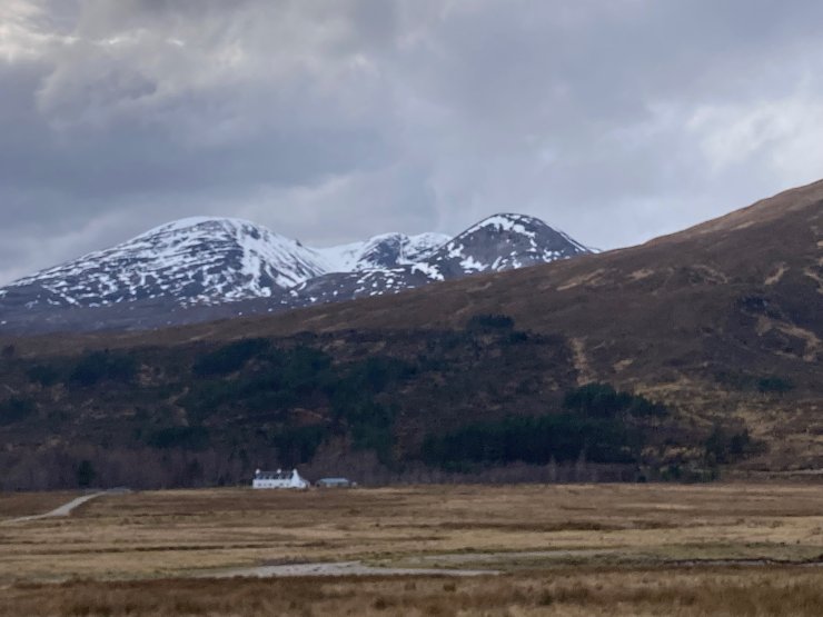
South side of Liathach looking across Loch Clair.
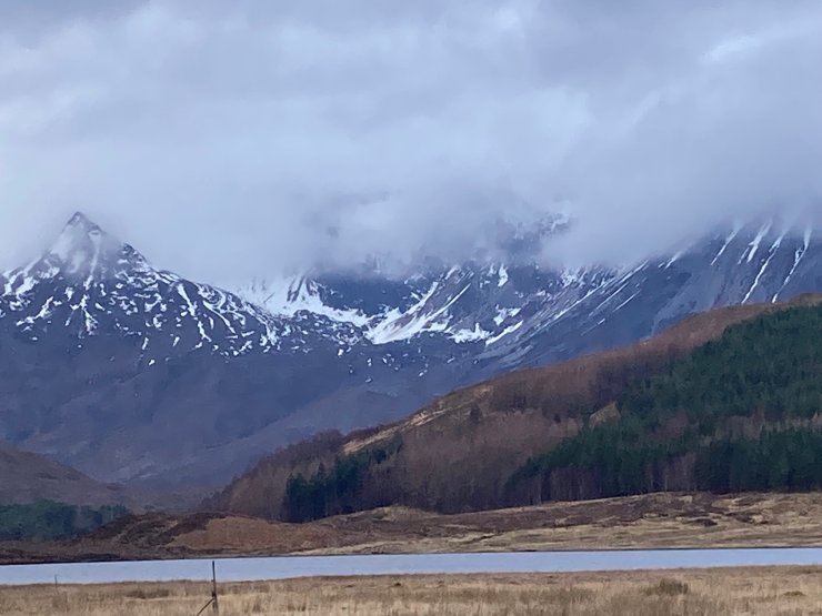
Looking across to the NE aspect of Beinn Liath Mhor (926m) Coulin in the foreground.
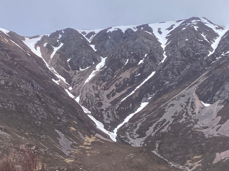
Coire an Laoigh on the South aspect of Beinn Eighe. Loch Clair in the foreground.
Allt Slugan on the West end of Liathach above Torridon village.
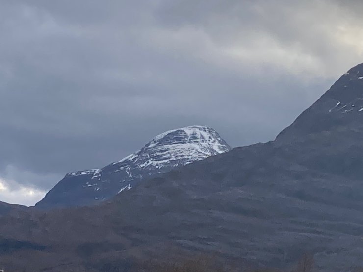
North aspect of Meall Chean Dearg (933m)
Comments on this post
Got something to say? Leave a comment