Snow
3rd February 2026
Due to the prevailing South-Easterly airstream, the North-West of Scotland has seen an extended dry period, with some areas now into a third week without any precipitation. There was forecast to be some snow today that may reach the Torridon forecasting area, so it was interesting to see how far West it had extended. The answer – There were blizzard conditions in the inland mountain ranges, while areas further West were in sunshine, although all mountains were exposed to gale force Easterly winds.
Correspondingly, isolated windslab deposits are developing over the inland mountains, but the situation in Torridon has seen little change, with the existing snowpack being firm and stable throughout.
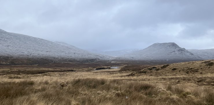
Fresh snow lying down to 350 metres in the Fannichs this morning. This was as extensive as the views got today, during a brief pause in the snow showers. The hill top that can be seen is Meall Breac (532m).
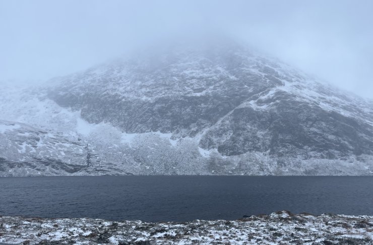
Loch a’Mhadaidh and Creag a’Mhadaidh which sit beneath Càrn na Crìche.
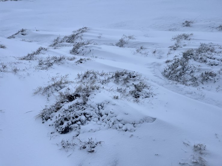
Fresh snow accumulations building on the wind-sheltered side of the hummocks.
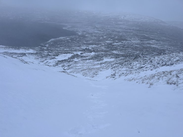
The footprints pictured here are 2 – 3cm deep and had completely disappeared on the return journey. There was drifting snow evident above 600 metres.
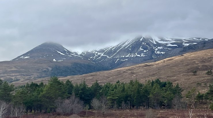
Meanwhile, the fresh snow didn’t reach as far West as the Torridon hills. Coire Domhain on the Eastern end of Beinn Eighe. Kinlochewe had periods of sunshine throughout the day.
Comments on this post
Got something to say? Leave a comment


