Gale Force Showers
19th December 2025
The day started nice enough with overnight snowfall visible above around 750 metres, but with South-Westerly gale force winds the highest summits were never an option. Aiming more optimistically but hoping to get to snow, with increases in elevation so came the increasing challenging conditions, frequent showers mostly of driving rain, poor visibility and winds strong enough to blow you over on higher ground. The snow on Meall a Ghiubhais was all onto bare ground and wet from the freezing level now around 1000 metres. Care was required underfoot with the wet snow, full depth steps readily slipping on the underlying vegetation and not much better on boulders and scree.
Showers this evening, then dry through the day. The freezing level remains above the summits, spiking to around 1200 metres for a time tonight. Overall the snowpack is expected to continue to thaw at all elevations. Colder and dryer conditions are expected from Saturday.
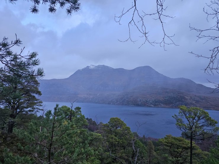
A brighter start to day, looking over to Slioch, little new snow on these aspects
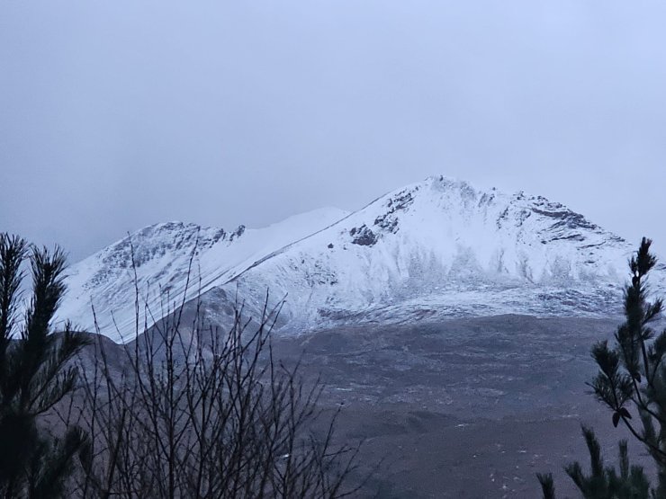
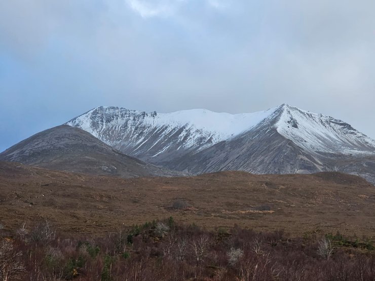
Overnight snow down to around 750 metres, Sgurr nan Fhir Duibhe, north and east aspects
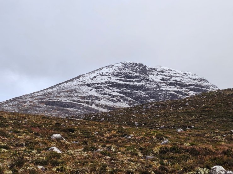
The snowline above 750 metres heading up onto Meall a Ghiubhais, care required on these steeper aspects
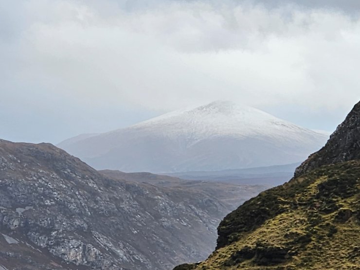
Distant views over to Fionn Bheinn
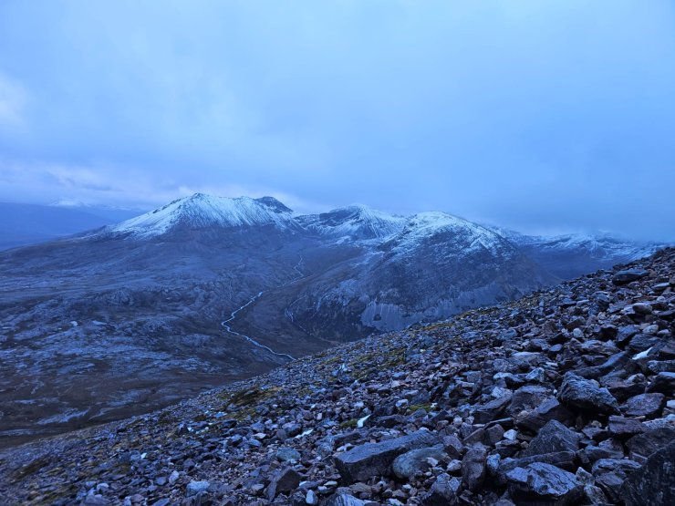
Looking across to Ruadh-stac Beag and Sgurr nan Fhir Duibhe when I could see it between the heavy showers
The North-East to South-East aspects, Creag Dubh and Sgurr nan Fhir Duibhe, looking white but much on bare ground, possibly small cornices on the ridge line
Comments on this post
Got something to say? Leave a comment


