The Applecross hills.
23rd March 2026
A trip to the Western end of our patch today. There was a little cosmetic dusting of snow on the tops down to around 750 metres.
Looking ahead, wet with mild temperatures overnight tonight, into the early hours of Tuesday will contribute to some snow loss of the remaining older snowpack. Colder through Tuesday with scattered wintry showers above 700 metres. Scattered showers continue from Tuesday into Wednesday, with snow falling to lower levels as the freezing level lowers further. The older snowpack will become hard and icy.
Although there will be some fresh snow through Tuesday, it is not expected to be significant in either depth or extent. Some shallow deposits will affect coire rims and gully tops above 750 metres on North East to South East aspects. Even colder into Wednesday as temperatures fall further. As always, the detail is in the main forecast.
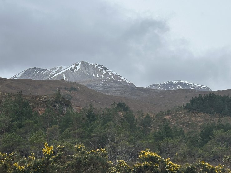
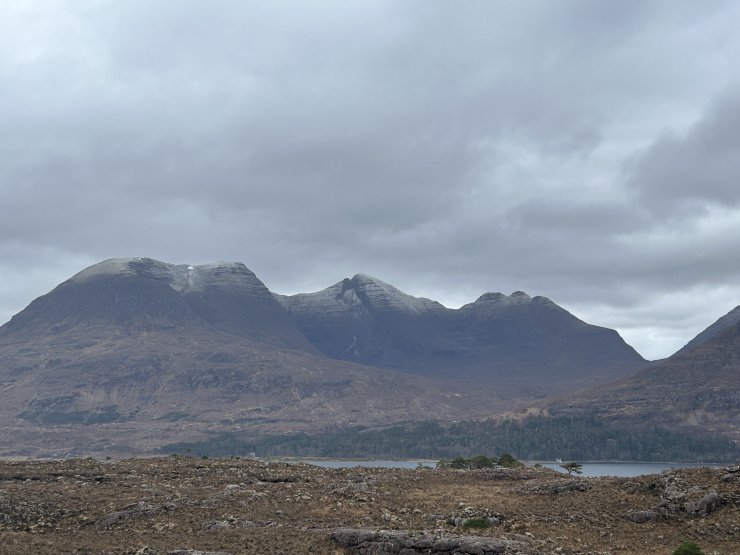
Creag Dubh and Ruadh-stac Beag
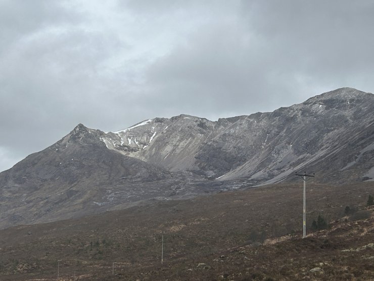
Coire an Laoigh, Beinn Eighe.
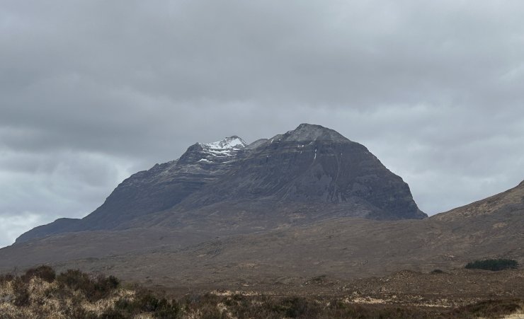
Liathach
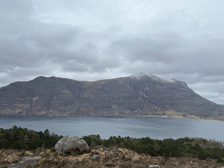
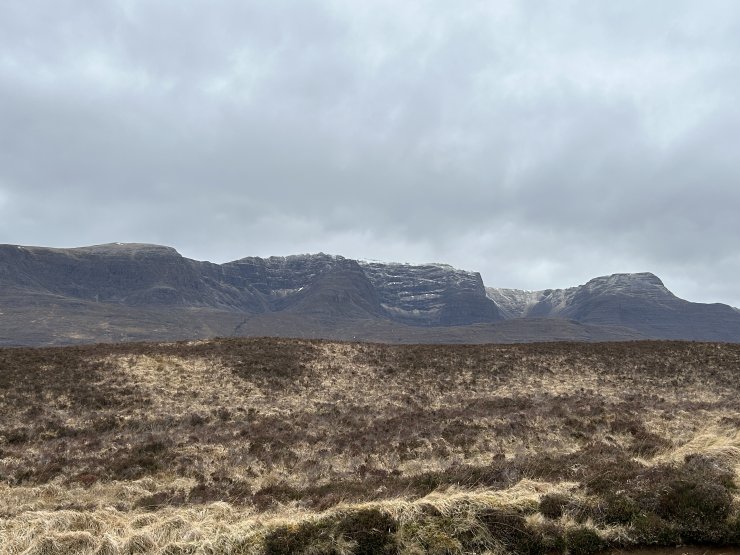
Mullach an Rathain, above Torridon Village.
Beinn Alligin
The East facing coires of Beinn Bhan, Applecross.
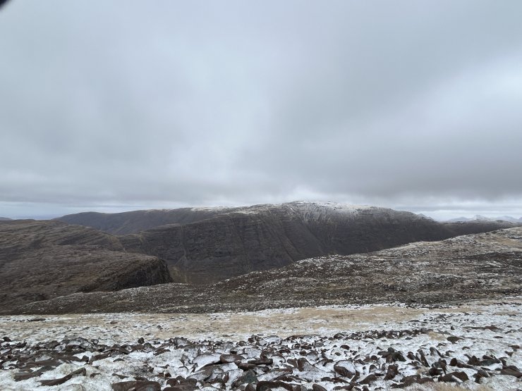
Beinn Bhan from Sgurr a Chaorachain.
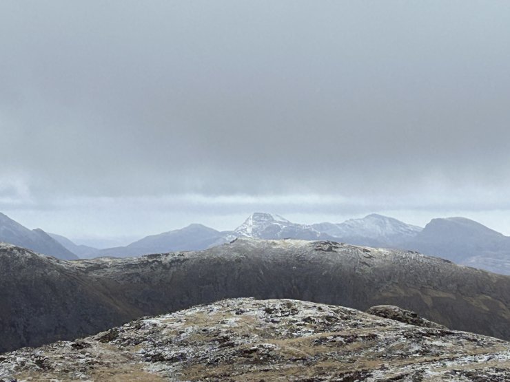
Looking East to Maol Chean-dearg.
Comments on this post
Got something to say? Leave a comment