A thaw and refreeze
29th March 2026
There was a period of thaw last night with heavy rain at most levels. The temperature peaked at around 9am this morning with the freezing level well above the summits, the freezing level then fell back to around 600 metres early afternoon, cold temperatures are expected to continue through Monday. Avalanche debris was observed in Coire an Laoigh on Beinn Eighe this morning, most likely from rain last night, by early afternoon a crust was beginning to form on the wet snowpack. The snowpack will continue to refreeze in the colder temperatures expect a very firm snowpack on Monday. Some new localised windslab deposits will develop as snow showers move across the area during the day more details in the avalanche hazard report.
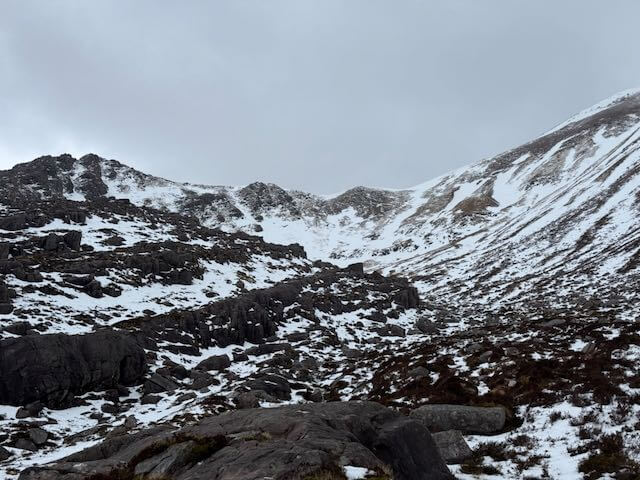
Coire an Laoigh, Spidean Coire nan Clach, Beinn Eighe
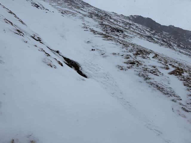
Avalanche debris most likely from early this morning (29th March) during heavy rain and a temperature rise.
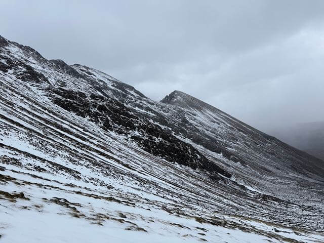
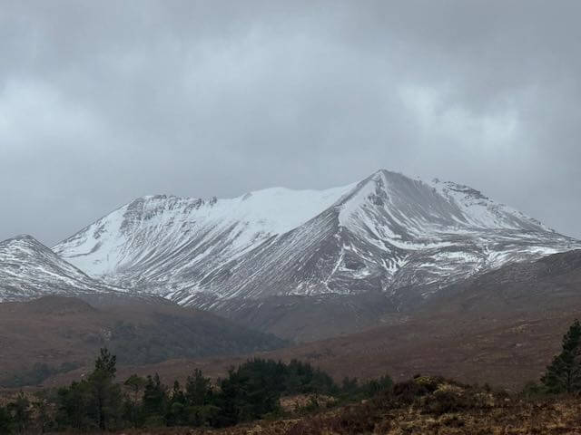
Sgurr nan Fhir Duibhe
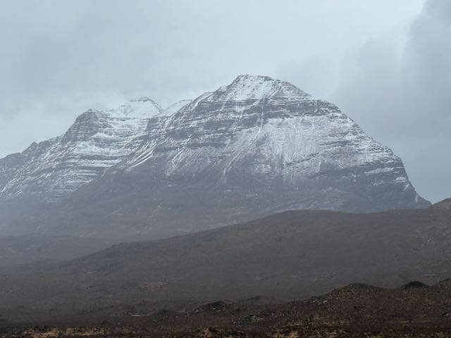
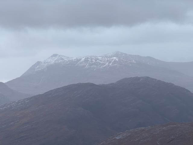
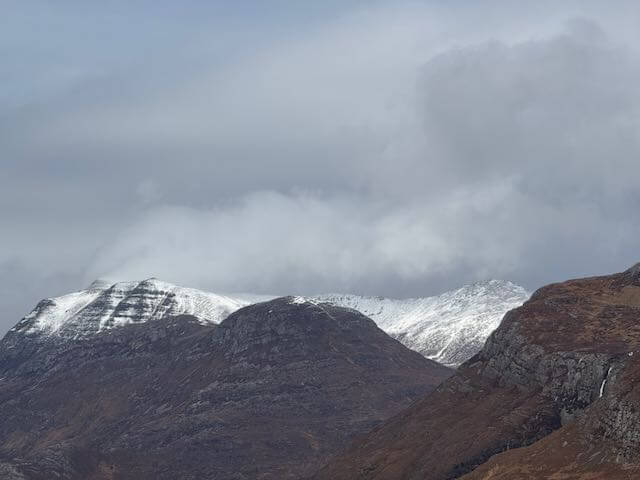
Liathach
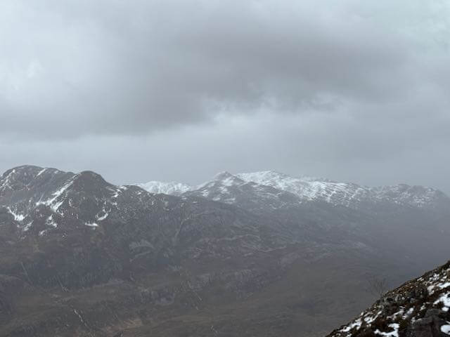
The South side of Glen Torridon Sgurr Dubh on the left with Beinn Liath Mhor at the back on the right and Sgorr nan Lochain Uaine in front
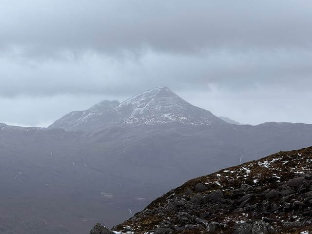
Maol Chean Dearg on the South side of Glen Torridon
Beinn Damh on the South side of Glen Torridon
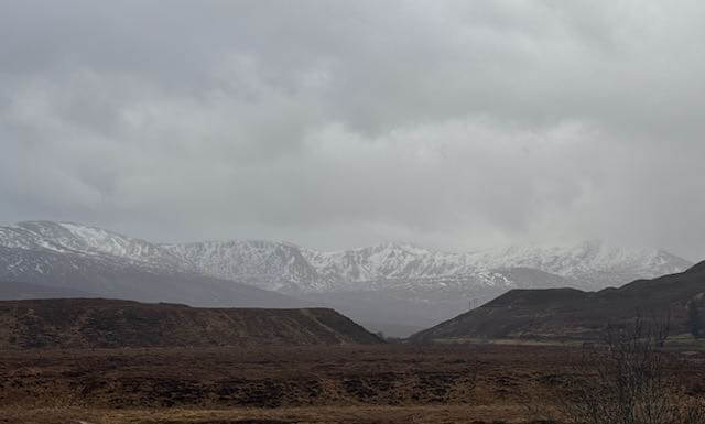
Morusig hills on the South side of Glen Carron
Creag Dubh, Beinn Eighe
Slioch
Comments on this post
Got something to say? Leave a comment